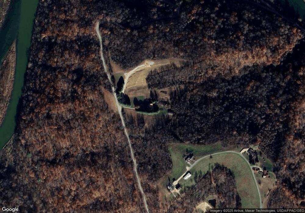
52461 Sykes Ridge Rd Clarington, OH 43915
Estimated Value: $163,000 - $237,000
--
Bed
1
Bath
1,260
Sq Ft
$162/Sq Ft
Est. Value
About This Home
This home is located at 52461 Sykes Ridge Rd, Clarington, OH 43915 and is currently estimated at $204,518, approximately $162 per square foot. 52461 Sykes Ridge Rd is a home located in Monroe County with nearby schools including River Elementary School, Powhatan Elementary School, and Beallsville High School.
Ownership History
Date
Name
Owned For
Owner Type
Purchase Details
Closed on
Oct 7, 2015
Bought by
Schultheis Stacey A and Schultheis Schultheis
Current Estimated Value
Home Financials for this Owner
Home Financials are based on the most recent Mortgage that was taken out on this home.
Interest Rate
3.85%
Purchase Details
Closed on
Sep 9, 1991
Bought by
Schultheis Stacey A
Create a Home Valuation Report for This Property
The Home Valuation Report is an in-depth analysis detailing your home's value as well as a comparison with similar homes in the area
Home Values in the Area
Average Home Value in this Area
Purchase History
| Date | Buyer | Sale Price | Title Company |
|---|---|---|---|
| Schultheis Stacey A | -- | -- | |
| Schultheis Stacey A | $13,000 | -- |
Source: Public Records
Mortgage History
| Date | Status | Borrower | Loan Amount |
|---|---|---|---|
| Closed | Schultheis Stacey A | -- |
Source: Public Records
Tax History Compared to Growth
Tax History
| Year | Tax Paid | Tax Assessment Tax Assessment Total Assessment is a certain percentage of the fair market value that is determined by local assessors to be the total taxable value of land and additions on the property. | Land | Improvement |
|---|---|---|---|---|
| 2024 | $901 | $29,450 | $9,310 | $20,140 |
| 2023 | $901 | $29,450 | $9,310 | $20,140 |
| 2022 | $842 | $29,450 | $9,310 | $20,140 |
| 2021 | $832 | $28,730 | $8,400 | $20,330 |
| 2020 | $833 | $28,730 | $8,400 | $20,330 |
| 2019 | $836 | $28,860 | $8,530 | $20,330 |
| 2018 | $803 | $27,050 | $7,690 | $19,360 |
| 2017 | $792 | $27,050 | $7,690 | $19,360 |
| 2016 | $804 | $27,050 | $7,690 | $19,360 |
| 2015 | $722 | $22,410 | $7,360 | $15,050 |
| 2014 | $722 | $22,410 | $7,360 | $15,050 |
| 2013 | $684 | $19,700 | $5,080 | $14,620 |
Source: Public Records
Map
Nearby Homes
- 111 Main St
- 618 Market St
- 50504 State Route 556
- 52736 Fisher Hill Rd
- 1246 Wren Dr
- 1233 Wren Dr
- 1221 Robin Dr
- 619 Proctor Creek Rd
- 805 James St
- 826 Meadow Dr
- 74 Anson St
- 0 Country Blvd Unit 5119547
- 0 Lot 2 Country Blvd
- 296 N State Route 2
- 52100 State Route 536
- 45725 Skyline Rd
- 7707 Burch Ridge Rd
- 103 Elm St
- 122 3rd St
- 122 2nd St
- 46670 Kurtzman Rd
- 46700 Kurtzman Rd
- 46610 Kurtzman Rd
- 46594 Kurtzman Rd
- 52019 Fishpot Rd
- 52027 Fishpot Rd
- 52001 Fishpot Rd
- 51965 Fishpot Rd
- 51959 Fishpot Rd
- 46572 Kurtzman Rd
- 51933 Fishpot Rd
- 51962 Fishpot Rd
- 51940 Fishpot Rd
- 51909 Fishpot Rd
- 51930 Fishpot Rd
- 51897 Fishpot Rd
- 51918 Fishpot Rd
- 51912 Fishpot Rd
- 47043 Bloom St
- 47055 Bloom St
