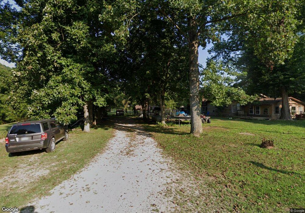
52463 Clary Rd Londonderry, OH 45647
Estimated Value: $143,802 - $288,000
1
Bed
1
Bath
1,584
Sq Ft
$129/Sq Ft
Est. Value
About This Home
This home is located at 52463 Clary Rd, Londonderry, OH 45647 and is currently estimated at $203,701, approximately $128 per square foot. 52463 Clary Rd is a home located in Vinton County with nearby schools including Vinton County High School.
Create a Home Valuation Report for This Property
The Home Valuation Report is an in-depth analysis detailing your home's value as well as a comparison with similar homes in the area
Home Values in the Area
Average Home Value in this Area
Tax History Compared to Growth
Tax History
| Year | Tax Paid | Tax Assessment Tax Assessment Total Assessment is a certain percentage of the fair market value that is determined by local assessors to be the total taxable value of land and additions on the property. | Land | Improvement |
|---|---|---|---|---|
| 2024 | $2,184 | $28,750 | $5,170 | $23,580 |
| 2023 | $491 | $22,010 | $3,590 | $18,420 |
| 2022 | $509 | $22,010 | $3,590 | $18,420 |
| 2021 | $506 | $22,010 | $3,590 | $18,420 |
| 2020 | $291 | $20,610 | $3,120 | $17,490 |
| 2019 | $478 | $20,610 | $3,120 | $17,490 |
| 2018 | $473 | $20,610 | $3,120 | $17,490 |
| 2017 | $413 | $18,800 | $2,840 | $15,960 |
| 2016 | $411 | $18,800 | $2,840 | $15,960 |
| 2015 | $309 | $17,160 | $2,630 | $14,530 |
| 2014 | $309 | $17,160 | $2,630 | $14,530 |
Source: Public Records
Map
Nearby Homes
- 52467 Clary Rd
- 52423 Clary Rd
- 52369 Clary Rd
- 35930 State Route 327
- 35643 State Route 327
- 35643 State Route 327
- 35481 State Route 327
- 53155 Clary Rd
- 52960 Clary Rd
- 35185 State Route 327
- 35202 State Route 327
- 53103 Clary Rd
- 53104 Clary Rd
- 35194 Ohio 327
- 53180 Clary Rd
- 35202 Ohio 327
- 13.84 Ac Clary Rd
- 53522 Clary Rd Unit (Tract 1)
- 53180 Clary Rd
- 53225 Clary Rd