52466 S Point Dr Mattawan, MI 49071
Estimated Value: $126,000 - $188,000
--
Bed
--
Bath
960
Sq Ft
$170/Sq Ft
Est. Value
About This Home
This home is located at 52466 S Point Dr, Mattawan, MI 49071 and is currently estimated at $163,492, approximately $170 per square foot. 52466 S Point Dr is a home located in Van Buren County with nearby schools including Mattawan Early Elementary School, Mattawan Early Childhood Education Center, and Mattawan Later Elementary School.
Ownership History
Date
Name
Owned For
Owner Type
Purchase Details
Closed on
Jul 30, 2022
Sold by
Ann Mohney Patricia and Ann Jeffrey
Bought by
Mohney Patricia Ann and Bogema Jeffrey
Current Estimated Value
Home Financials for this Owner
Home Financials are based on the most recent Mortgage that was taken out on this home.
Original Mortgage
$109,890
Outstanding Balance
$105,217
Interest Rate
5.7%
Mortgage Type
FHA
Estimated Equity
$58,275
Purchase Details
Closed on
Sep 9, 2002
Sold by
Cassada June
Bought by
Cassadajune and Mohney Patricia Ann
Create a Home Valuation Report for This Property
The Home Valuation Report is an in-depth analysis detailing your home's value as well as a comparison with similar homes in the area
Home Values in the Area
Average Home Value in this Area
Purchase History
| Date | Buyer | Sale Price | Title Company |
|---|---|---|---|
| Mohney Patricia Ann | -- | None Listed On Document | |
| Cassadajune | -- | -- |
Source: Public Records
Mortgage History
| Date | Status | Borrower | Loan Amount |
|---|---|---|---|
| Open | Mohney Patricia Ann | $109,890 |
Source: Public Records
Tax History Compared to Growth
Tax History
| Year | Tax Paid | Tax Assessment Tax Assessment Total Assessment is a certain percentage of the fair market value that is determined by local assessors to be the total taxable value of land and additions on the property. | Land | Improvement |
|---|---|---|---|---|
| 2025 | $558 | $45,400 | $0 | $0 |
| 2024 | $558 | $42,700 | $0 | $0 |
| 2023 | $532 | $41,200 | $0 | $0 |
| 2022 | $1,151 | $37,000 | $0 | $0 |
| 2021 | $1,111 | $29,500 | $9,000 | $20,500 |
| 2020 | $1,084 | $29,300 | $9,000 | $20,300 |
| 2019 | $976 | $27,400 | $27,400 | $0 |
| 2018 | $941 | $23,700 | $23,700 | $0 |
| 2017 | $916 | $22,800 | $0 | $0 |
| 2016 | $922 | $24,600 | $0 | $0 |
| 2015 | $668 | $24,600 | $0 | $0 |
| 2014 | $698 | $24,400 | $0 | $0 |
| 2013 | -- | $21,900 | $21,900 | $0 |
Source: Public Records
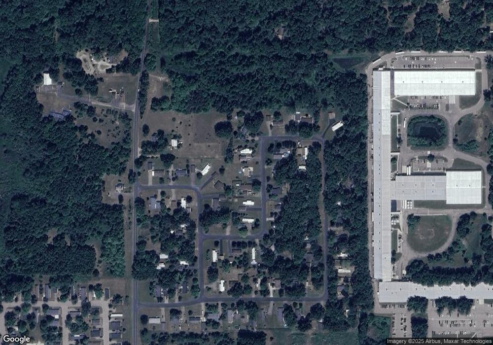
Map
Nearby Homes
- 51650 County Road 652
- 25614 Marshall Dr
- 25851 Pleasant Dr
- 24537 Brownstone Blvd
- 50247 County Road 652
- 49801 Chase Way
- 63908 County Rd
- 23753 Red Arrow Hwy
- 23589 Laurel Glen Ave
- 10599 Mystic Heights Trail
- 48799 Wentworth Dr
- 48709 Silver Oaks Blvd
- 56550 Village Center Cir Unit 20
- 23440 W McGillen Ave Unit Entire Parcel
- 23440 W McGillen Ave Unit Parcel B
- 48265 Silver Oaks W
- 47805 Silver Oaks W
- 23901 Village Center Cir
- 24532 Vargas
- 23875 Village Center Cir
- 52476 S Point Dr
- 52456 S Point Dr
- 24960 Estates Ct
- 52486 S Point Dr
- 52486 S Point Dr
- 24958 Northwest Cir
- 52467 S Point Dr
- 24950 Estates Ct
- 52457 S Point Dr
- 52477 S Point Dr
- 24970 Estates Ct
- 52487 S Point Dr
- 52496 S Point Dr
- 52506 S Point Dr
- 24948 Northwest Cir
- 52464 N Point Dr
- 52454 N Point Dr
- 52474 N Point Dr
- 52497 S Point Dr
- 24980 Estates Ct