525 Airport Rd E Eatonville, WA 98328
Estimated Value: $389,314 - $480,000
--
Bed
--
Bath
2,024
Sq Ft
$221/Sq Ft
Est. Value
About This Home
This home is located at 525 Airport Rd E, Eatonville, WA 98328 and is currently estimated at $446,438, approximately $220 per square foot. 525 Airport Rd E is a home with nearby schools including Eatonville High School.
Ownership History
Date
Name
Owned For
Owner Type
Purchase Details
Closed on
Nov 23, 2015
Sold by
Poole Christopher Frank and Poole Yvonne
Bought by
Henricks John and Henricks Roslyn
Current Estimated Value
Home Financials for this Owner
Home Financials are based on the most recent Mortgage that was taken out on this home.
Original Mortgage
$199,500
Outstanding Balance
$156,489
Interest Rate
3.71%
Mortgage Type
New Conventional
Estimated Equity
$289,949
Create a Home Valuation Report for This Property
The Home Valuation Report is an in-depth analysis detailing your home's value as well as a comparison with similar homes in the area
Home Values in the Area
Average Home Value in this Area
Purchase History
| Date | Buyer | Sale Price | Title Company |
|---|---|---|---|
| Henricks John | $206,011 | Ticor |
Source: Public Records
Mortgage History
| Date | Status | Borrower | Loan Amount |
|---|---|---|---|
| Open | Henricks John | $199,500 |
Source: Public Records
Tax History Compared to Growth
Tax History
| Year | Tax Paid | Tax Assessment Tax Assessment Total Assessment is a certain percentage of the fair market value that is determined by local assessors to be the total taxable value of land and additions on the property. | Land | Improvement |
|---|---|---|---|---|
| 2025 | $2,103 | $231,600 | $174,900 | $56,700 |
| 2024 | $2,103 | $233,500 | $180,600 | $52,900 |
| 2023 | $2,103 | $232,300 | $180,600 | $51,700 |
| 2022 | $1,833 | $246,000 | $194,000 | $52,000 |
| 2021 | $1,581 | $142,700 | $112,900 | $29,800 |
| 2019 | $1,153 | $129,900 | $103,200 | $26,700 |
| 2018 | $1,225 | $110,100 | $84,800 | $25,300 |
| 2017 | $1,109 | $94,500 | $71,100 | $23,400 |
| 2016 | $913 | $68,100 | $49,500 | $18,600 |
| 2014 | $840 | $66,400 | $49,500 | $16,900 |
| 2013 | $840 | $52,600 | $37,800 | $14,800 |
Source: Public Records
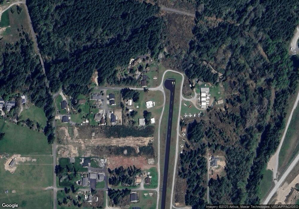
Map
Nearby Homes
- 400 Cessna Ct E
- 167 Mountain Crest Ln
- 163 Reagan Ln
- 117 Eagle Glen Ct
- 116 Pennsylvania Ave N
- 327 Maple Dr N
- 306 Maple Dr N
- 309 Antonie Ave N
- 11919 415th Street Ct E
- 316 Antonie Ave N
- 116 Orchard Ave S Unit ABCD
- 507 Center St W
- 701 Iron St
- 40706 123rd Ave E
- 120 Antonie Ave N
- 0 XXXX Alder Cutoff Rd E
- 212 Dow Ridge Dr N
- 40514 Ski Park Rd E
- 184 Dow Ridge Dr N
- 854 Center St W
- 13128 Airport Rd E
- 0 XXX 419 St E
- 0 XXX 419 St E
- 0 XXX 419 St E
- 465 Airport Rd E
- 455 Airport Rd E
- 457 Airport Rd E
- 425 422 St E
- 520 Airport Rd E
- 445 Airport Rd E
- 447 Airport Rd E
- 580 Airport Rd E
- 440 Airport Rd E
- 435 Airport Rd E
- 426 Jet Ct E
- 485 Lynch Creek Rd E
- 425 Airport Rd E
- 405 Jet Ct E
- 422 Jet Ct E