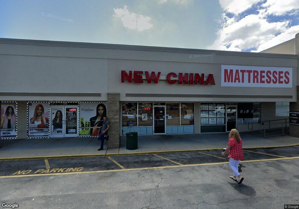
525 Bankhead Hwy Unit 523 Carrollton, GA 30117
Estimated Value: $9,107,271
--
Bed
--
Bath
90,485
Sq Ft
$101/Sq Ft
Est. Value
About This Home
This home is located at 525 Bankhead Hwy Unit 523, Carrollton, GA 30117 and is currently estimated at $9,107,271, approximately $100 per square foot. 525 Bankhead Hwy Unit 523 is a home located in Carroll County with nearby schools including Carrollton Elementary School, Carrollton Upper Elementary School, and Carrollton Middle School.
Ownership History
Date
Name
Owned For
Owner Type
Purchase Details
Closed on
Dec 14, 2017
Sold by
Rcg Carrollton Tower Llc
Bought by
Tower Plaza Investors Llc
Current Estimated Value
Purchase Details
Closed on
Aug 19, 2014
Sold by
Tower Station Inc
Bought by
Rcg Carrollton Tower Llc
Purchase Details
Closed on
Jun 23, 2006
Sold by
Not Provided
Bought by
Tower Station Inc
Purchase Details
Closed on
Jun 6, 2002
Sold by
Kr Tower Plaza Inc
Bought by
Kr Tower Plaza Inc
Purchase Details
Closed on
Dec 24, 1997
Sold by
Tower Plaza Assoc
Bought by
Kr Tower Plaza Inc
Purchase Details
Closed on
Oct 1, 1986
Bought by
Tower Plaza Assoc
Create a Home Valuation Report for This Property
The Home Valuation Report is an in-depth analysis detailing your home's value as well as a comparison with similar homes in the area
Home Values in the Area
Average Home Value in this Area
Purchase History
| Date | Buyer | Sale Price | Title Company |
|---|---|---|---|
| Tower Plaza Investors Llc | $4,400,000 | -- | |
| Rcg Carrollton Tower Llc | $3,900,000 | -- | |
| Tower Station Inc | $4,000,000 | -- | |
| Kr Tower Plaza Inc | -- | -- | |
| Kr Tower Plaza Inc | $4,700,000 | -- | |
| Tower Plaza Assoc | -- | -- |
Source: Public Records
Tax History Compared to Growth
Tax History
| Year | Tax Paid | Tax Assessment Tax Assessment Total Assessment is a certain percentage of the fair market value that is determined by local assessors to be the total taxable value of land and additions on the property. | Land | Improvement |
|---|---|---|---|---|
| 2024 | $66,938 | $2,449,803 | $387,000 | $2,062,803 |
| 2023 | $64,893 | $2,305,513 | $387,000 | $1,918,513 |
| 2022 | $46,542 | $1,594,466 | $387,000 | $1,207,466 |
| 2021 | $45,608 | $1,562,406 | $267,000 | $1,295,406 |
| 2020 | $49,227 | $1,684,718 | $267,000 | $1,417,718 |
| 2019 | $49,687 | $1,684,718 | $267,000 | $1,417,718 |
| 2018 | $49,121 | $1,641,624 | $267,000 | $1,374,624 |
| 2017 | $44,587 | $1,481,995 | $222,145 | $1,259,850 |
| 2016 | $44,833 | $1,481,994 | $269,100 | $1,212,894 |
| 2015 | $45,773 | $1,481,994 | $269,100 | $1,212,894 |
| 2014 | $20,646 | $665,540 | $269,100 | $396,440 |
Source: Public Records
Map
Nearby Homes
- 114 Green Point Way
- 119 Oxford Square
- 123 Autumn Glen Dr
- 325 Almon Rd
- 201 Stewart St
- 120 Stewart St
- 0 Carroll Cir Unit LOTS 4-8 10571562
- 123 Cedar Park Way
- 0 Burns Rd Unit LOT 2 10571612
- 0 Burns Rd Unit LOT 3 10571635
- 0 Burns Rd Unit LOT 1 10571595
- 0 Burns Rd Unit 148013
- 403 Burns Rd
- 111 Lakeview Dr
- 322 Cedar St
- 541 N White St Unit 12
- 541 N White St
- 150 Cedar Park Way
- 114 Bennett Cir
- 777 College St
- 525 Bankhead Hwy Unit 513
- 526 Bankhead Hwy
- 151 Pine Knoll Dr
- 492 Bankhead Hwy
- 395 Bankhead Hwy
- 110 Commercial Ave
- 110 #A Commercial Dr
- 401 Bankhead Hwy
- 110 Thomas Newell Way
- 486 Bankhead Hwy
- 110 Corporate Dr
- 0 Corporate Dr Unit 8314798
- 0 Corporate Dr Unit 7372608
- 0 Corporate Dr Unit 8158835
- 0 Corporate Dr Unit 8158743
- 0 Corporate Dr
- 109 Corporate Dr
- 934 Cedar St
- 109 Commercial Ave
- 111 Commercial Ave