525 Belk Rd Mount Ulla, NC 28125
Estimated Value: $679,000 - $985,000
Studio
1
Bath
1,592
Sq Ft
$545/Sq Ft
Est. Value
About This Home
This home is located at 525 Belk Rd, Mount Ulla, NC 28125 and is currently estimated at $867,210, approximately $544 per square foot. 525 Belk Rd is a home located in Rowan County with nearby schools including Mount Ulla Elementary School, West Rowan Middle School, and West Rowan High School.
Ownership History
Date
Name
Owned For
Owner Type
Purchase Details
Closed on
Aug 27, 2025
Sold by
Belk Donald R and Belk Sheryl W
Bought by
Belk Donald R and Belk Sheryl W
Current Estimated Value
Purchase Details
Closed on
Aug 22, 2025
Sold by
Henry Michael L and Henry Karrin K
Bought by
Belk Donald R and Belk Megan
Purchase Details
Closed on
May 13, 2025
Sold by
Murdock Sharon B and Murdock Rickey J
Bought by
Belk Donald R and Belk Donald R
Purchase Details
Closed on
Sep 27, 2017
Sold by
Beaver David M and Beaver Marjorie M
Bought by
Murdock Sharon B and Murdock Rickey J
Create a Home Valuation Report for This Property
The Home Valuation Report is an in-depth analysis detailing your home's value as well as a comparison with similar homes in the area
Purchase History
| Date | Buyer | Sale Price | Title Company |
|---|---|---|---|
| Belk Donald R | -- | None Listed On Document | |
| Belk Donald R | -- | None Listed On Document | |
| Belk Donald R | -- | None Listed On Document | |
| Belk Donald R | -- | None Listed On Document | |
| Belk Donald R | -- | None Listed On Document | |
| Belk Donald R | $1,050,000 | None Listed On Document | |
| Belk Donald R | $1,050,000 | None Listed On Document | |
| Murdock Sharon B | -- | None Available |
Source: Public Records
Tax History
| Year | Tax Paid | Tax Assessment Tax Assessment Total Assessment is a certain percentage of the fair market value that is determined by local assessors to be the total taxable value of land and additions on the property. | Land | Improvement |
|---|---|---|---|---|
| 2025 | $2,939 | $438,726 | $230,162 | $208,564 |
| 2024 | $2,939 | $438,726 | $230,162 | $208,564 |
| 2023 | $2,939 | $438,726 | $230,162 | $208,564 |
| 2022 | $2,634 | $352,384 | $189,073 | $163,311 |
| 2021 | $2,564 | $352,384 | $189,073 | $163,311 |
| 2020 | $2,564 | $352,384 | $189,073 | $163,311 |
| 2019 | $2,564 | $352,384 | $189,073 | $163,311 |
| 2018 | $7,202 | $309,155 | $189,072 | $120,083 |
| 2017 | $1,211 | $309,155 | $189,072 | $120,083 |
| 2016 | $1,211 | $309,155 | $189,072 | $120,083 |
| 2015 | $1,230 | $309,155 | $189,072 | $120,083 |
| 2014 | $1,265 | $319,726 | $189,072 | $130,654 |
Source: Public Records
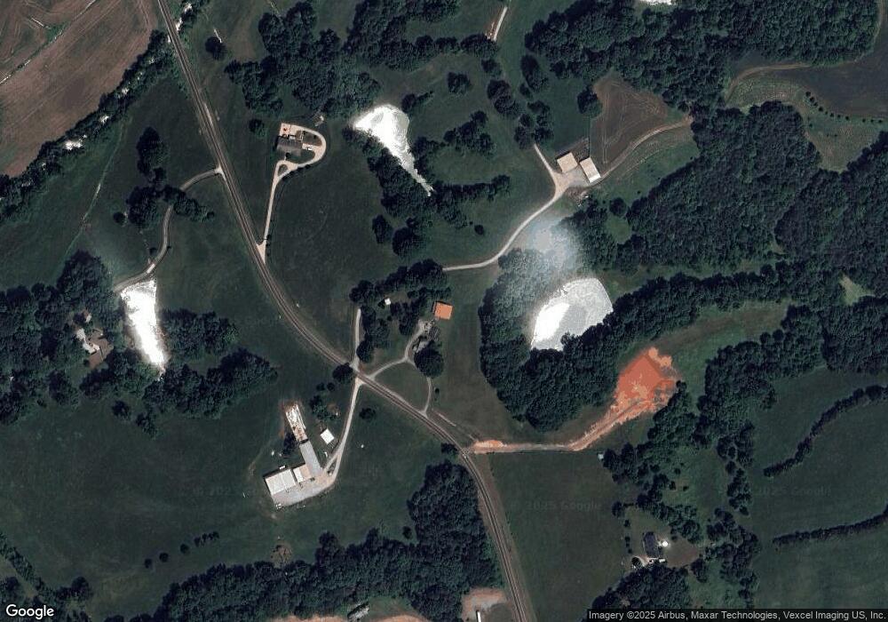
Map
Nearby Homes
- 1070 Saddle Back Ln
- 125 Cloud Top Ln
- 17022 Oak Breeze Cir
- 114 Still Creek Dr
- 1175 Gardenia Dr Unit 44
- 1250 Gardenia Dr Unit 13
- Plan 2620 at McNeely Farms
- 1340 Gardenia Dr Unit 18
- Plan 3040 at McNeely Farms
- Plan 2700 at McNeely Farms
- Plan 3210 at McNeely Farms
- Plan 2100 at McNeely Farms
- 1360 Gardenia Dr Unit 19
- Plan 2421 at McNeely Farms
- Plan 2505 at McNeely Farms
- Plan 2316 at McNeely Farms
- 1095 Gardenia Dr Unit 48
- Plan 3320 at McNeely Farms
- 1290 Gardenia Dr Unit 15
- Plan 1305 at McNeely Farms