525 Carey Rd Danielsville, GA 30633
Estimated Value: $354,000 - $511,389
--
Bed
2
Baths
1,766
Sq Ft
$245/Sq Ft
Est. Value
About This Home
This home is located at 525 Carey Rd, Danielsville, GA 30633 and is currently estimated at $432,695, approximately $245 per square foot. 525 Carey Rd is a home located in Madison County with nearby schools including Madison County High School.
Ownership History
Date
Name
Owned For
Owner Type
Purchase Details
Closed on
Aug 30, 2021
Sold by
Canup Carole A
Bought by
Canup Steven E and Canup Leanna V
Current Estimated Value
Purchase Details
Closed on
Jan 1, 1991
Bought by
Canup Carole P
Create a Home Valuation Report for This Property
The Home Valuation Report is an in-depth analysis detailing your home's value as well as a comparison with similar homes in the area
Home Values in the Area
Average Home Value in this Area
Purchase History
| Date | Buyer | Sale Price | Title Company |
|---|---|---|---|
| Canup Steven E | -- | -- | |
| Canup Carole P | -- | -- |
Source: Public Records
Tax History Compared to Growth
Tax History
| Year | Tax Paid | Tax Assessment Tax Assessment Total Assessment is a certain percentage of the fair market value that is determined by local assessors to be the total taxable value of land and additions on the property. | Land | Improvement |
|---|---|---|---|---|
| 2024 | $2,160 | $190,159 | $103,421 | $86,738 |
| 2023 | $3,664 | $120,033 | $55,550 | $64,483 |
| 2022 | $1,922 | $128,032 | $59,252 | $68,780 |
| 2021 | $1,913 | $110,960 | $59,252 | $51,708 |
| 2020 | $1,897 | $102,342 | $50,634 | $51,708 |
| 2019 | $1,879 | $101,263 | $50,634 | $50,629 |
| 2018 | $1,819 | $95,457 | $46,325 | $49,132 |
| 2017 | $2,536 | $88,077 | $43,092 | $44,985 |
| 2016 | $1,346 | $81,468 | $43,092 | $38,376 |
| 2015 | $2,282 | $81,468 | $43,092 | $38,376 |
| 2014 | $2,179 | $77,411 | $38,783 | $38,628 |
| 2013 | -- | $77,411 | $38,783 | $38,628 |
Source: Public Records
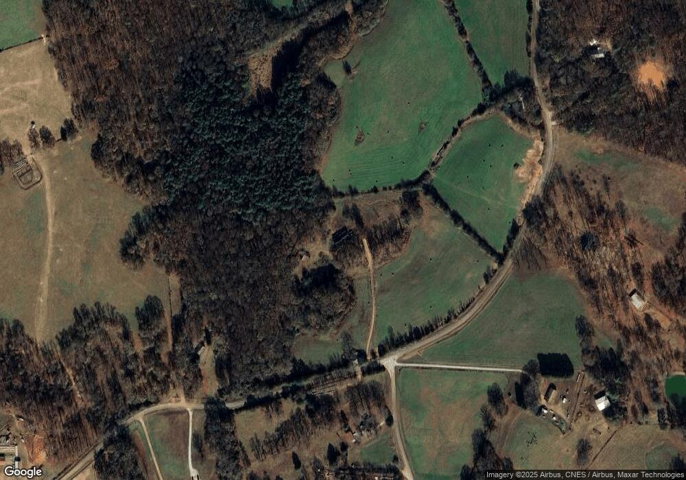
Map
Nearby Homes
- 0 Carey-Ford Rd
- 266 Water Oak Rd
- 00 Georgia 174 Unit 1
- 0 Carey Ford Rd Unit 10495957
- 0 Kirk Langford Rd Unit 7671084
- 0 Kirk Langford Rd Unit 10630817
- 795 E Jones Chapel Rd
- 0 Georgia 174 Unit 10530772
- 590 Langford Carey Rd
- 450 Stagecoach Way
- 1344 Jim Grizzle Rd
- 352 Jim Grizzle Rd
- 318 Jim Grizzle Rd
- 0 Cedar Ln Unit 1026097
- 0 Cedar Ln Unit 10530523
- 1112 Reno Rd
- 955 Collins Dudley Rd
- 107 Hill Lake Rd
- 0 Highway 29 N Unit 10525658
- 0 Dickson Dr Unit 416392
- Tract 2 Carey Rd
- 00 Carey Rd
- 345 Carey Rd
- 1514 Carey Ford Rd
- 814 Carey Rd
- 722 Carey Rd
- 1129 Carey Rd
- 294 Carey Rd
- 1465 Carey Ford Rd
- 1629 Jones Chapel Shiloh Rd
- 115 Carey Rd
- 1365 Carey Ford Rd
- 1551 Jones Chapel Shiloh Rd
- 1621 Jones Chapel Shiloh Rd
- 1221 Carey Rd
- 1291 Carey Rd
- 1543 Jones Chapel Shiloh Rd
- 1547 Jones Chapel Shiloh Rd
- 1515 Jones Chapel Shiloh Rd
- 0 Carey Rd Unit 8396746