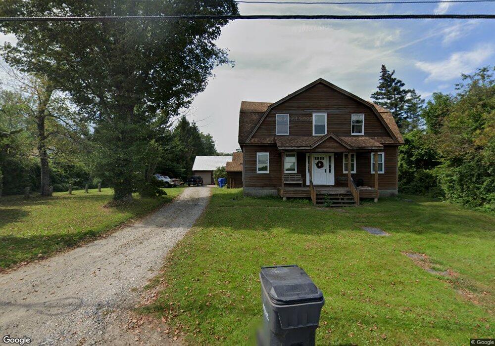
525 Cedar Swamp Rd Coventry, CT 06238
Estimated Value: $478,000 - $513,000
3
Beds
3
Baths
1,718
Sq Ft
$291/Sq Ft
Est. Value
About This Home
This home is located at 525 Cedar Swamp Rd, Coventry, CT 06238 and is currently estimated at $499,967, approximately $291 per square foot. 525 Cedar Swamp Rd is a home located in Tolland County with nearby schools including Coventry Grammar School, George Hersey Robertson School, and Capt. Nathan Hale School.
Ownership History
Date
Name
Owned For
Owner Type
Purchase Details
Closed on
May 30, 2000
Sold by
Gallo Robert and Gallo Nancy
Bought by
Freeman Wayne and Freeman Susan
Current Estimated Value
Home Financials for this Owner
Home Financials are based on the most recent Mortgage that was taken out on this home.
Original Mortgage
$154,000
Interest Rate
8.1%
Purchase Details
Closed on
Jul 13, 1987
Sold by
Ryan Patrick Devel
Bought by
Gallo Robert
Create a Home Valuation Report for This Property
The Home Valuation Report is an in-depth analysis detailing your home's value as well as a comparison with similar homes in the area
Home Values in the Area
Average Home Value in this Area
Purchase History
| Date | Buyer | Sale Price | Title Company |
|---|---|---|---|
| Freeman Wayne | $214,000 | -- | |
| Freeman Wayne | $214,000 | -- | |
| Gallo Robert | $167,000 | -- |
Source: Public Records
Mortgage History
| Date | Status | Borrower | Loan Amount |
|---|---|---|---|
| Closed | Gallo Robert | $152,000 | |
| Closed | Gallo Robert | $156,000 | |
| Closed | Gallo Robert | $154,000 |
Source: Public Records
Tax History
| Year | Tax Paid | Tax Assessment Tax Assessment Total Assessment is a certain percentage of the fair market value that is determined by local assessors to be the total taxable value of land and additions on the property. | Land | Improvement |
|---|---|---|---|---|
| 2025 | $6,719 | $282,800 | $84,000 | $198,800 |
| 2024 | $6,166 | $185,100 | $72,600 | $112,500 |
| 2023 | $5,875 | $185,100 | $72,600 | $112,500 |
| 2022 | $5,766 | $185,100 | $72,600 | $112,500 |
| 2021 | $5,766 | $185,100 | $72,600 | $112,500 |
| 2020 | $5,770 | $185,100 | $72,600 | $112,500 |
| 2019 | $5,957 | $185,000 | $72,600 | $112,400 |
| 2018 | $5,835 | $181,200 | $72,600 | $108,600 |
| 2017 | $5,798 | $181,200 | $72,600 | $108,600 |
| 2016 | $5,653 | $181,200 | $72,600 | $108,600 |
| 2015 | $5,653 | $181,200 | $72,600 | $108,600 |
| 2014 | $6,286 | $220,800 | $90,600 | $130,200 |
Source: Public Records
Map
Nearby Homes
- 5 Laurelwood Ln Unit lot 16
- 7 Laurelwood Ln Unit Lot 15
- 12 Laurelwood Ln Unit lot 8
- 23 Neville St
- 939 Boston Turnpike
- 61 Stone Hedge Ln
- 0 Boston Turnpike Unit 24128587
- 93 Dockerel Rd
- 279 Mark Dr
- 16 Higgins Way
- 151 Pine Hill Rd
- 687 Hop River Rd
- 361 Dunn Rd
- 0 Mile Hill Rd
- 2 Vine Dr
- 25 Wolf Hill Rd
- 395 Grant Hill (Mill Race Drive) Lot #21 Rd
- 37 Wolf Hill Rd Unit Lot 40
- 37 Wolf Hill Lot (#40) Rd
- 395 Grant Hill Rd Unit Lot21
- 12 Laurelwood (Known As Lot 8) Ln
- 519 Cedar Swamp Rd
- 82 Bolton Branch Rd
- 30 Bolton Branch Rd
- 38 Bolton Branch Rd
- 531 Cedar Swamp Rd
- 4 Laurelwood (Known As Lot 4) Ln
- 2 Ln
- 45 Bolton Branch Rd
- 35 Bolton Branch Rd
- 547 Cedar Swamp Rd
- 55 Bolton Branch Rd
- 94 Bolton Branch Rd
- 6 Laurelwood (Known As Lot 5) Ln
- 451 Cedar Swamp Rd
- 563 Cedar Swamp Rd
- 11 Laurelwood (Known As Lot 13) Ln
- 441 Cedar Swamp Rd
- 526 Cedar Swamp Rd
- 75 Bolton Branch Rd
Your Personal Tour Guide
Ask me questions while you tour the home.