525 County Road 260 Westcliffe, CO 81252
Estimated Value: $230,000 - $3,614,154
15
Beds
13
Baths
9,182
Sq Ft
$218/Sq Ft
Est. Value
About This Home
This home is located at 525 County Road 260, Westcliffe, CO 81252 and is currently estimated at $2,002,289, approximately $218 per square foot. 525 County Road 260 is a home located in Custer County with nearby schools including Custer County Elementary School, Custer Middle School, and Custer County High School.
Ownership History
Date
Name
Owned For
Owner Type
Purchase Details
Closed on
Dec 10, 2001
Sold by
Prill Richard Frederick
Bought by
Prill Richard F
Current Estimated Value
Purchase Details
Closed on
Oct 23, 2001
Sold by
Red Rock Partners Llc
Bought by
Prill Richard F
Purchase Details
Closed on
May 1, 2001
Sold by
Prill Richard F
Bought by
Red Rock Partners Llc
Purchase Details
Closed on
Jul 13, 1989
Sold by
Stanley James
Bought by
Prill Richard F
Create a Home Valuation Report for This Property
The Home Valuation Report is an in-depth analysis detailing your home's value as well as a comparison with similar homes in the area
Home Values in the Area
Average Home Value in this Area
Purchase History
| Date | Buyer | Sale Price | Title Company |
|---|---|---|---|
| Prill Richard F | -- | -- | |
| Prill Richard Frederick | -- | -- | |
| Prill Richard F | -- | -- | |
| Red Rock Partners Llc | -- | -- | |
| Prill Richard F | $204,900 | -- |
Source: Public Records
Tax History Compared to Growth
Tax History
| Year | Tax Paid | Tax Assessment Tax Assessment Total Assessment is a certain percentage of the fair market value that is determined by local assessors to be the total taxable value of land and additions on the property. | Land | Improvement |
|---|---|---|---|---|
| 2024 | $10,121 | $162,370 | $0 | $0 |
| 2023 | $10,121 | $162,370 | $0 | $0 |
| 2022 | $5,337 | $82,980 | $210 | $82,770 |
| 2021 | $5,484 | $82,980 | $210 | $82,770 |
| 2020 | $2,952 | $45,210 | $210 | $45,000 |
| 2019 | $2,936 | $45,210 | $210 | $45,000 |
| 2018 | $2,604 | $39,870 | $200 | $39,670 |
| 2017 | $2,525 | $37,831 | $49 | $37,782 |
| 2016 | $2,629 | $43,200 | $180 | $43,020 |
| 2015 | -- | $518,019 | $626 | $517,393 |
| 2012 | $2,652 | $531,255 | $515 | $530,740 |
Source: Public Records
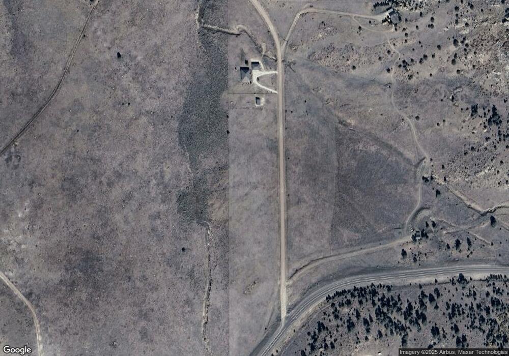
Map
Nearby Homes
- 5100 Colorado 96
- 0 Rural Custer County Unit REC4569780
- 207 Bunker Hill Rd
- 1500 Bunker Hill Cir
- 1500 Bunker Hill Rd
- TBD Kankakee Rd
- 838 County Road 260
- 5151 County Road 160
- 373 Deer Springs Cir
- 865 Vista de Aspen Rd
- 294 Vista de Agua
- 2144 County Road 260
- 2144 Cr 260
- 680 Ridge Rd
- 590 Pine Ln
- 0 Tbd Co Rd 255
- TBD L12 Cr 255
- TBD L14 Cr 255
- TBD L2 Cr 255
- 1070 Electric Ave
- 525 Brush Hollow Rd
- 5501 State Highway 96
- 5505 Colorado 96
- 5505 State Highway 96
- 5505 Co 96
- 122 Fairview Rd
- 122 Fairview Rd
- 114 Fairview Rd
- 114 Fairview Rd
- 114 Fairview Rd Unit 56
- 127 Fairview Rd
- 127 Fairview Rd
- 207 Bunker Hill Cir
- 297 Excelsior Rd
- 297 Excelsior Rd
- 85 Excelsior Rd
- 35 Tyndall Rd
- 265 County Road 260
- 265 County Road 260
- 5561 State Highway 96