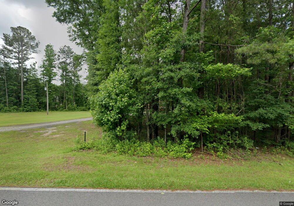
525 Fir Rd Franklin, GA 30217
Estimated Value: $224,946 - $264,000
3
Beds
2
Baths
984
Sq Ft
$246/Sq Ft
Est. Value
About This Home
This home is located at 525 Fir Rd, Franklin, GA 30217 and is currently estimated at $242,237, approximately $246 per square foot. 525 Fir Rd is a home located in Heard County with nearby schools including Heard County High School.
Ownership History
Date
Name
Owned For
Owner Type
Purchase Details
Closed on
Nov 30, 2009
Sold by
Smith Stephen
Bought by
Mullennix William N
Current Estimated Value
Home Financials for this Owner
Home Financials are based on the most recent Mortgage that was taken out on this home.
Original Mortgage
$88,271
Interest Rate
5.01%
Mortgage Type
FHA
Purchase Details
Closed on
Jul 8, 2009
Sold by
Wells Fargo Bank
Bought by
Smith Stephen
Purchase Details
Closed on
May 5, 2009
Sold by
Thomas Harry Stephen and Thomas Julie B
Bought by
Wells Fargo Bank
Purchase Details
Closed on
Jul 23, 2004
Sold by
Thomas Julie B and Thomas Harry S
Bought by
Thomas Harry Stephen
Purchase Details
Closed on
Nov 17, 1998
Sold by
Arrington Orbie
Bought by
Thomas Julie B and Thomas Har
Purchase Details
Closed on
Feb 21, 1986
Bought by
Lee Debra J
Purchase Details
Closed on
Feb 1, 1986
Sold by
Lee Debra J
Bought by
Arrington Orbie
Create a Home Valuation Report for This Property
The Home Valuation Report is an in-depth analysis detailing your home's value as well as a comparison with similar homes in the area
Home Values in the Area
Average Home Value in this Area
Purchase History
| Date | Buyer | Sale Price | Title Company |
|---|---|---|---|
| Mullennix William N | $89,900 | -- | |
| Smith Stephen | $33,000 | -- | |
| Wells Fargo Bank | $94,200 | -- | |
| Thomas Harry Stephen | -- | -- | |
| Thomas Julie B | -- | -- | |
| Lee Debra J | -- | -- | |
| Arrington Orbie | $4,500 | -- |
Source: Public Records
Mortgage History
| Date | Status | Borrower | Loan Amount |
|---|---|---|---|
| Open | Mullennix William N | $85,482 | |
| Closed | Mullennix William N | $88,271 |
Source: Public Records
Tax History Compared to Growth
Tax History
| Year | Tax Paid | Tax Assessment Tax Assessment Total Assessment is a certain percentage of the fair market value that is determined by local assessors to be the total taxable value of land and additions on the property. | Land | Improvement |
|---|---|---|---|---|
| 2024 | $1,266 | $62,793 | $15,526 | $47,267 |
| 2023 | $1,159 | $55,537 | $12,938 | $42,599 |
| 2022 | $968 | $46,370 | $7,252 | $39,118 |
| 2021 | $873 | $38,568 | $7,252 | $31,316 |
| 2020 | $851 | $37,598 | $7,252 | $30,346 |
| 2019 | $835 | $37,598 | $7,252 | $30,346 |
| 2018 | $851 | $37,598 | $7,252 | $30,346 |
| 2017 | $749 | $33,184 | $7,136 | $26,048 |
| 2016 | $749 | $33,184 | $7,136 | $26,048 |
| 2015 | -- | $31,752 | $10,995 | $20,757 |
| 2014 | -- | $31,755 | $10,995 | $20,760 |
| 2013 | -- | $36,075 | $10,995 | $25,080 |
Source: Public Records
Map
Nearby Homes
- 220 Dogwood Rd
- 192 Hawk Rd
- 19860 Georgia 34
- 19860 Ga Hwy 34
- 0 Thomas Powers Rd Unit 10569332
- 0 Thomas Powers Rd Unit 5.54+/- ACRES
- 0 Thomas Powers Rd Unit 24228819
- 642 Elm Rd
- 0 Newman Rd Unit 10559645
- 323 Newman Rd
- 38 Daniel Cir
- 4230 Joe Stephens Rd
- 1227 J D Walton Rd
- 189 & 191 W Plantation Dr
- 17426 Georgia 34
- 260 Ancient Oak Ln
- 712 Boy Scout Rd
- 815 Birch Rd
- 927 Boy Scout Rd
- 4398 Georgia 34
