Estimated Value: $162,414 - $273,000
--
Bed
--
Bath
1,425
Sq Ft
$158/Sq Ft
Est. Value
About This Home
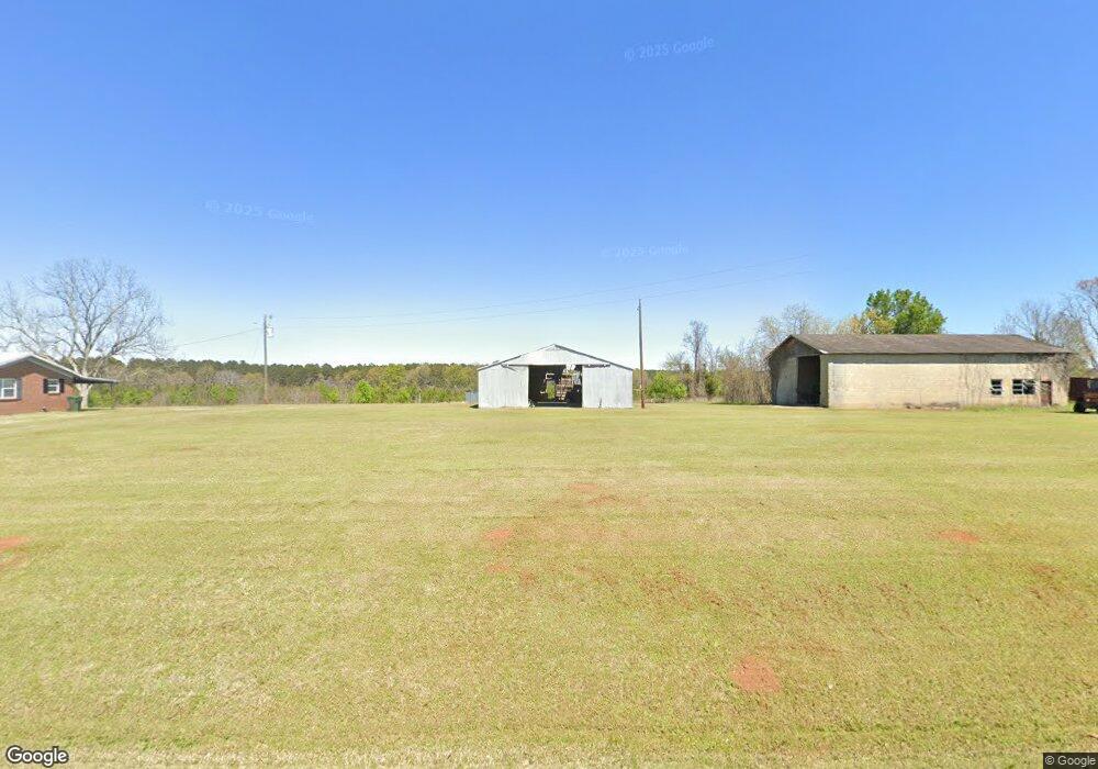
This home is located at 525 Ga Highway 26 W, Elko, GA 31025 and is currently estimated at $224,854, approximately $157 per square foot. 525 Ga Highway 26 W is a home located in Houston County with nearby schools including Tucker Elementary School, Perry Middle School, and Perry High School.
Ownership History
Date
Name
Owned For
Owner Type
Purchase Details
Closed on
Feb 11, 2003
Sold by
A B S Farms Inc
Bought by
Langston Dwayne
Current Estimated Value
Purchase Details
Closed on
May 20, 1982
Bought by
A B S Farms Inc
Purchase Details
Closed on
Jul 30, 1980
Sold by
Miroc N V
Bought by
A B S Farms Inc
Purchase Details
Closed on
Jan 1, 1979
Sold by
Hooks Betty K
Bought by
Hammock Betty K
Purchase Details
Closed on
Dec 1, 1978
Sold by
Kersey Kersey C and Kersey Kersey
Bought by
Hooks Betty K
Purchase Details
Closed on
Apr 2, 1969
Sold by
Layman Clyde and Layman Mary
Bought by
Kersey Kersey C and Kersey Kersey
Purchase Details
Closed on
Feb 21, 1964
Bought by
Layman Clyde and Layman Mary
Create a Home Valuation Report for This Property
The Home Valuation Report is an in-depth analysis detailing your home's value as well as a comparison with similar homes in the area
Home Values in the Area
Average Home Value in this Area
Purchase History
| Date | Buyer | Sale Price | Title Company |
|---|---|---|---|
| Langston Dwayne | -- | -- | |
| A B S Farms Inc | -- | -- | |
| A B S Farms Inc | -- | -- | |
| Miroc N V | -- | -- | |
| Hammock Betty K | -- | -- | |
| Hooks Betty K | -- | -- | |
| Kersey Kersey C | -- | -- | |
| Layman Clyde | -- | -- |
Source: Public Records
Tax History Compared to Growth
Tax History
| Year | Tax Paid | Tax Assessment Tax Assessment Total Assessment is a certain percentage of the fair market value that is determined by local assessors to be the total taxable value of land and additions on the property. | Land | Improvement |
|---|---|---|---|---|
| 2024 | $1,228 | $53,320 | $14,200 | $39,120 |
| 2023 | $908 | $39,560 | $8,640 | $30,920 |
| 2022 | $819 | $35,880 | $8,640 | $27,240 |
| 2021 | $672 | $29,680 | $6,200 | $23,480 |
| 2020 | $628 | $27,720 | $6,120 | $21,600 |
| 2019 | $628 | $27,720 | $6,120 | $21,600 |
| 2018 | $628 | $27,720 | $6,120 | $21,600 |
| 2017 | $628 | $27,720 | $6,120 | $21,600 |
| 2016 | $629 | $27,720 | $6,120 | $21,600 |
| 2015 | $631 | $27,720 | $6,120 | $21,600 |
| 2014 | -- | $27,720 | $6,120 | $21,600 |
| 2013 | -- | $27,720 | $6,120 | $21,600 |
Source: Public Records
Map
Nearby Homes
- 419 Whitworth Rd
- 355 Georgia 26
- TRACT C-1A AND Kersey Rd
- TRACTC-1B &C1A Kersey Rd Unit TRACT C-1B LL 216 LD
- 0 Hodge Rd Unit 254963
- 379 Horseshoe Bend Rd
- 406 Horseshoe Bend Rd
- 15 Georgia 26
- Tract 3 Williams Cir
- TRACT 18 Williams Cir
- 200 Felton Rd
- 125 Langston Cir
- Lot 5 Whitfield Rd
- Lot 7 Whitfield Rd
- 0 Whitfield Rd Unit 253499
- Lot 1 Whitfield Rd
- Lot 6 Whitfield Rd
- 0 Whitfield Rd Unit 19933971
- Lot 5 Whitfield Rd Unit Elko GA 31025
- Lot 7 Whitfield Rd Unit Elko GA 31025
- 530 Ga Highway 26 W
- 524 Ga Highway 26 W
- 514 Ga Highway 26 W
- 560 26
- 560 Ga Hwy 26 W
- 560 Ga Highway 26 W
- 560 Ga Highway 26 W
- 512 Ga Highway 26 W
- 512 Ga Highway 26 W
- 512 Georgia 26
- 460 Kersey Rd
- 508 Ga Highway 26 W
- 500 Kersey Rd
- 475 Kersey Rd
- 496 Kersey Rd
- 483 Kersey Rd
- 495 Georgia 26
- 495 Ga Highway 26 W
- 495 Ga Highway 26 E
- 487 Kersey Rd