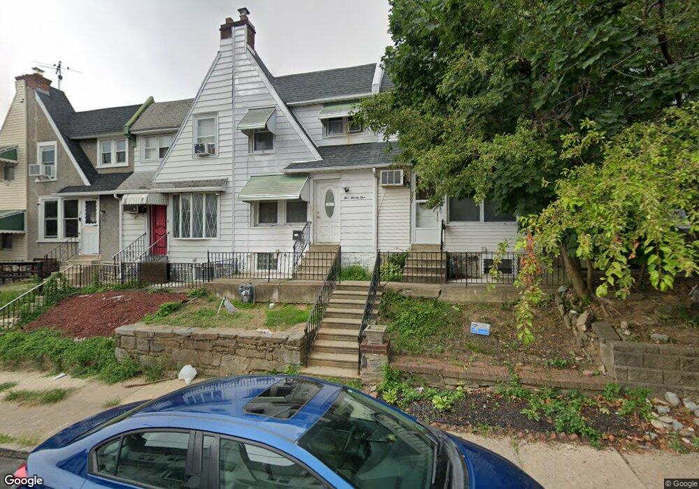
525 Glendale Rd Upper Darby, PA 19082
Estimated Value: $144,472 - $187,000
3
Beds
1
Bath
1,307
Sq Ft
$124/Sq Ft
Est. Value
About This Home
This home is located at 525 Glendale Rd, Upper Darby, PA 19082 and is currently estimated at $162,618, approximately $124 per square foot. 525 Glendale Rd is a home located in Delaware County with nearby schools including Upper Darby Kdg Center, Upper Darby High School, and Philadelphia Christian Academy.
Ownership History
Date
Name
Owned For
Owner Type
Purchase Details
Closed on
Sep 21, 2004
Sold by
Wellar Kenneth and Cavalieri John Paul
Bought by
Fofana Abu
Current Estimated Value
Home Financials for this Owner
Home Financials are based on the most recent Mortgage that was taken out on this home.
Original Mortgage
$82,348
Outstanding Balance
$40,606
Interest Rate
5.81%
Mortgage Type
FHA
Estimated Equity
$122,012
Purchase Details
Closed on
Dec 19, 2003
Sold by
Hackett John A and Hackett Teresa H
Bought by
Wellar Kenneth and Cavalieri John Paul
Home Financials for this Owner
Home Financials are based on the most recent Mortgage that was taken out on this home.
Original Mortgage
$38,000
Interest Rate
4.62%
Mortgage Type
Purchase Money Mortgage
Create a Home Valuation Report for This Property
The Home Valuation Report is an in-depth analysis detailing your home's value as well as a comparison with similar homes in the area
Home Values in the Area
Average Home Value in this Area
Purchase History
| Date | Buyer | Sale Price | Title Company |
|---|---|---|---|
| Fofana Abu | $83,000 | Commonwealth Title | |
| Wellar Kenneth | $40,000 | T A Title Insurance Company |
Source: Public Records
Mortgage History
| Date | Status | Borrower | Loan Amount |
|---|---|---|---|
| Open | Fofana Abu | $82,348 | |
| Previous Owner | Wellar Kenneth | $38,000 |
Source: Public Records
Tax History Compared to Growth
Tax History
| Year | Tax Paid | Tax Assessment Tax Assessment Total Assessment is a certain percentage of the fair market value that is determined by local assessors to be the total taxable value of land and additions on the property. | Land | Improvement |
|---|---|---|---|---|
| 2025 | $2,930 | $69,270 | $13,620 | $55,650 |
| 2024 | $2,930 | $69,270 | $13,620 | $55,650 |
| 2023 | $2,902 | $69,270 | $13,620 | $55,650 |
| 2022 | $2,824 | $69,270 | $13,620 | $55,650 |
| 2021 | $3,808 | $69,270 | $13,620 | $55,650 |
| 2020 | $2,880 | $44,530 | $12,380 | $32,150 |
| 2019 | $2,830 | $44,530 | $12,380 | $32,150 |
| 2018 | $2,797 | $44,530 | $0 | $0 |
| 2017 | $2,725 | $44,530 | $0 | $0 |
| 2016 | $244 | $44,530 | $0 | $0 |
| 2015 | $244 | $44,530 | $0 | $0 |
| 2014 | $244 | $44,530 | $0 | $0 |
Source: Public Records
Map
Nearby Homes
- 346 Long Ln
- 7139 Guilford Rd
- 418 Hampden Rd
- 432 Grace Rd
- 504 Woodcliffe Rd
- 404 Croyden Rd
- 607 Littlecroft Rd
- 513 Woodcliffe Rd
- 424 Woodcliffe Rd
- 351 Long Ln
- 669 Long Ln
- 7216 Clinton Rd
- 7114 Locust St
- 7155 Radbourne Rd
- 517 Wiltshire Rd
- 7162 Radbourne Rd
- 525 Wiltshire Rd
- 7265 Calvin Rd
- 6982 Clinton Rd
- 726 Copley Rd
- 529 Glendale Rd
- 523 Glendale Rd
- 521 Glendale Rd
- 519 Glendale Rd
- 515 Glendale Rd
- 513 Glendale Rd
- 511 Glendale Rd
- 509 Glendale Rd
- 507 Glendale Rd
- 505 Glendale Rd
- 503 Glendale Rd
- 501 Glendale Rd
- 543 Glendale Rd
- 541 Glendale Rd
- 527 Glendale Rd
- 539 Glendale Rd
- 537 Glendale Rd
- 531 Glendale Rd
- 530 Glendale Rd
- 528 Glendale Rd