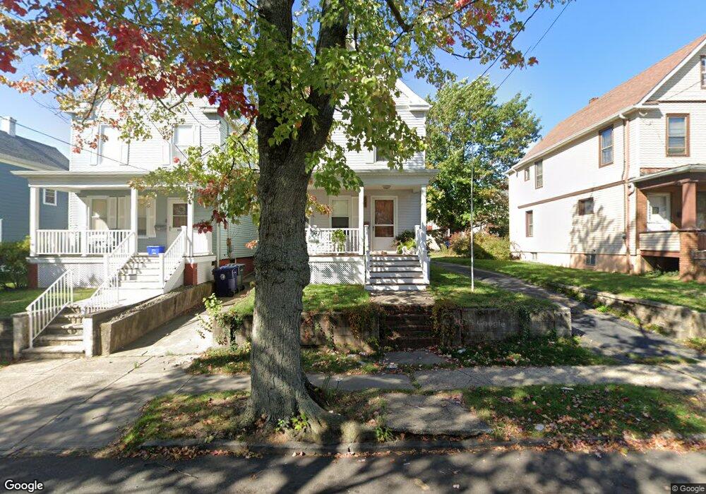
525 Groom St Perth Amboy, NJ 08861
Amboy Avenue NeighborhoodEstimated Value: $355,586 - $409,000
--
Bed
--
Bath
1,120
Sq Ft
$341/Sq Ft
Est. Value
About This Home
This home is located at 525 Groom St, Perth Amboy, NJ 08861 and is currently estimated at $381,897, approximately $340 per square foot. 525 Groom St is a home located in Middlesex County with nearby schools including Perth Amboy High School, Academy for Urban Leadership Charter School, and Assumption Catholic School.
Ownership History
Date
Name
Owned For
Owner Type
Purchase Details
Closed on
May 17, 2002
Current Estimated Value
Create a Home Valuation Report for This Property
The Home Valuation Report is an in-depth analysis detailing your home's value as well as a comparison with similar homes in the area
Home Values in the Area
Average Home Value in this Area
Purchase History
| Date | Buyer | Sale Price | Title Company |
|---|---|---|---|
| -- | -- | -- |
Source: Public Records
Tax History Compared to Growth
Tax History
| Year | Tax Paid | Tax Assessment Tax Assessment Total Assessment is a certain percentage of the fair market value that is determined by local assessors to be the total taxable value of land and additions on the property. | Land | Improvement |
|---|---|---|---|---|
| 2025 | $6,134 | $203,300 | $108,000 | $95,300 |
| 2024 | $6,121 | $203,300 | $108,000 | $95,300 |
| 2023 | $6,121 | $203,300 | $108,000 | $95,300 |
| 2022 | $6,048 | $203,300 | $108,000 | $95,300 |
| 2021 | $5,664 | $203,300 | $108,000 | $95,300 |
| 2020 | $6,054 | $203,300 | $108,000 | $95,300 |
| 2019 | $6,077 | $203,300 | $108,000 | $95,300 |
| 2018 | $6,024 | $203,300 | $108,000 | $95,300 |
| 2017 | $6,012 | $203,300 | $108,000 | $95,300 |
| 2016 | $5,855 | $203,300 | $108,000 | $95,300 |
| 2015 | $5,896 | $203,300 | $108,000 | $95,300 |
| 2014 | $5,932 | $203,300 | $108,000 | $95,300 |
Source: Public Records
Map
Nearby Homes
- 459 Brace Ave
- 599 Pacific Ave
- 569 Cornell St
- 461 Lawrie St
- 438 Lawrie St
- 552 Compton Ave
- 448 Baker Place
- 649 Cornell St
- 399 Compton Ave
- 389 Jeffries St
- 689 Mary St
- 376 Barclay St
- 397 Washington St
- 359 Neville St
- 720 Donald Ave
- 744 Donald Ave
- 752 Donald Ave
- 693 Hanson Ave
- 646 Johnstone St
- 371 Mcguire Place