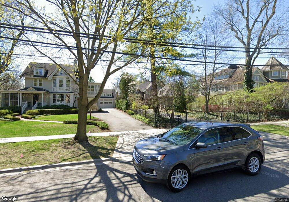
525 Harmon St Birmingham, MI 48009
Estimated Value: $2,152,509 - $2,350,000
2
Beds
4
Baths
3,634
Sq Ft
$621/Sq Ft
Est. Value
About This Home
This home is located at 525 Harmon St, Birmingham, MI 48009 and is currently estimated at $2,256,377, approximately $620 per square foot. 525 Harmon St is a home located in Oakland County with nearby schools including Pierce Elementary School, Derby Middle School, and Ernest W. Seaholm High School.
Ownership History
Date
Name
Owned For
Owner Type
Purchase Details
Closed on
Feb 18, 2025
Sold by
Foss Constance R
Bought by
Human Family Trust and Foss
Current Estimated Value
Purchase Details
Closed on
Aug 17, 2023
Sold by
Apple V
Bought by
Foss Constance R
Purchase Details
Closed on
Apr 14, 2010
Sold by
Foss Donald A and Foss Constance R
Bought by
Foss Donald A
Purchase Details
Closed on
Mar 5, 2004
Sold by
Lerner Lerner A and Lerner Lueva Dixon
Bought by
Foss Donald A and Foss Constance R
Create a Home Valuation Report for This Property
The Home Valuation Report is an in-depth analysis detailing your home's value as well as a comparison with similar homes in the area
Home Values in the Area
Average Home Value in this Area
Purchase History
| Date | Buyer | Sale Price | Title Company |
|---|---|---|---|
| Human Family Trust | -- | None Listed On Document | |
| Human Family Trust | -- | None Listed On Document | |
| Foss Constance R | -- | None Listed On Document | |
| Foss Donald A | -- | None Available | |
| Foss Donald A | -- | Devon Title Agency |
Source: Public Records
Tax History
| Year | Tax Paid | Tax Assessment Tax Assessment Total Assessment is a certain percentage of the fair market value that is determined by local assessors to be the total taxable value of land and additions on the property. | Land | Improvement |
|---|---|---|---|---|
| 2025 | $34,877 | $1,076,610 | $0 | $0 |
| 2024 | $27,402 | $974,390 | $0 | $0 |
| 2023 | $26,150 | $909,170 | $0 | $0 |
| 2022 | $31,524 | $879,830 | $0 | $0 |
| 2021 | $30,731 | $835,290 | $0 | $0 |
| 2020 | $24,369 | $831,430 | $0 | $0 |
| 2019 | $30,190 | $818,550 | $0 | $0 |
| 2018 | $29,518 | $796,700 | $0 | $0 |
| 2017 | $29,095 | $783,660 | $0 | $0 |
| 2016 | $28,971 | $775,800 | $0 | $0 |
| 2015 | -- | $731,120 | $0 | $0 |
| 2014 | -- | $631,520 | $0 | $0 |
| 2011 | -- | $498,680 | $0 | $0 |
Source: Public Records
Map
Nearby Homes
- 601 Dewey St
- 405 Bonnie Brier St
- 551 N Old Woodward Ave Unit 551
- 395 Greenwood St
- 468 Willits St
- 488 Vinewood Ave
- 369 N Old Woodward Ave Unit 301
- 369 N Old Woodward Ave Unit 307
- 369 N Old Woodward Ave Unit 206
- 369 N Old Woodward Ave Unit 207
- 667 Oak Ave
- 750 Hazelwood St
- 670 Oak Ave
- 592 Lakeside Dr
- 255 Southfield Rd Unit 1
- 480 Southfield Rd
- 444 Chester St Unit 420
- 1115 N Old Woodward Ave
- 1111 N Old Woodward Ave Unit 4
- 1111 N Old Woodward Ave Unit 23
Your Personal Tour Guide
Ask me questions while you tour the home.