525 Isaac Ln Bellvue, CO 80512
Estimated Value: $612,000 - $876,000
3
Beds
1
Bath
2,216
Sq Ft
$325/Sq Ft
Est. Value
About This Home
This home is located at 525 Isaac Ln, Bellvue, CO 80512 and is currently estimated at $720,403, approximately $325 per square foot. 525 Isaac Ln is a home located in Larimer County with nearby schools including Stove Prairie Elementary School, Cache La Poudre Middle School, and Poudre High School.
Ownership History
Date
Name
Owned For
Owner Type
Purchase Details
Closed on
Apr 10, 2009
Sold by
Snyder Dale L
Bought by
Walker Brandon J
Current Estimated Value
Home Financials for this Owner
Home Financials are based on the most recent Mortgage that was taken out on this home.
Original Mortgage
$275,750
Interest Rate
14.25%
Mortgage Type
Purchase Money Mortgage
Purchase Details
Closed on
Oct 4, 1969
Sold by
Urschel Floyd M
Bought by
May Snyder Dale L and May Goldie
Create a Home Valuation Report for This Property
The Home Valuation Report is an in-depth analysis detailing your home's value as well as a comparison with similar homes in the area
Home Values in the Area
Average Home Value in this Area
Purchase History
| Date | Buyer | Sale Price | Title Company |
|---|---|---|---|
| Walker Brandon J | $241,000 | Tggt | |
| May Snyder Dale L | $5,000 | -- |
Source: Public Records
Mortgage History
| Date | Status | Borrower | Loan Amount |
|---|---|---|---|
| Closed | Walker Brandon J | $275,750 |
Source: Public Records
Tax History Compared to Growth
Tax History
| Year | Tax Paid | Tax Assessment Tax Assessment Total Assessment is a certain percentage of the fair market value that is determined by local assessors to be the total taxable value of land and additions on the property. | Land | Improvement |
|---|---|---|---|---|
| 2025 | $3,389 | $43,550 | $10,720 | $32,830 |
| 2024 | $3,203 | $43,550 | $10,720 | $32,830 |
| 2022 | $2,848 | $34,118 | $8,264 | $25,854 |
| 2021 | $3,222 | $39,382 | $8,501 | $30,881 |
| 2020 | $2,630 | $31,825 | $4,862 | $26,963 |
| 2019 | $2,642 | $31,825 | $4,862 | $26,963 |
| 2018 | $2,446 | $30,499 | $3,816 | $26,683 |
| 2017 | $2,437 | $30,499 | $3,816 | $26,683 |
| 2016 | $1,783 | $22,193 | $3,821 | $18,372 |
| 2015 | $1,769 | $22,190 | $3,820 | $18,370 |
| 2014 | $1,006 | $12,530 | $3,380 | $9,150 |
Source: Public Records
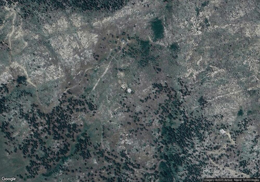
Map
Nearby Homes
- 520 Isaac Ln
- 552 Blue Grouse Ln
- 0 Tbd Old Flowers Rd
- 9200 Old Flowers Rd
- 14884 Rist Canyon Rd
- 0 Tip Top Rd
- 0 Davis Ranch Rd Unit 1048176
- 0 Tbd Stratton Park Rd Lot 3
- 4119 Davis Ranch Rd
- 3805 Davis Ranch Rd
- 3434 Davis Ranch Rd
- 3235 Davis Ranch Rd
- 0 Rist Creek Rd Unit 4284551
- 0 Rist Creek Rd Unit REC4803675
- 427 Wilderness Ridge Way
- 0 Cougar Dr Unit 1048067
- 0 W County Road 44h Unit 1040235
- 269 Cox Ct
- 865 Redstone Dr
- 200 Falls Creek Dr
- 16826 Rist Canyon Rd
- 0 Rist Canyon Unit 525205
- 0 Rist Canyon Unit 330571
- 0 Stove Prairie Unit 208365
- 0 Stove Prairie Unit 208358
- 599 Ford Hill Rd
- 4392 Stove Prairie Rd
- 4402 Stove Prairie Rd
- 4394 Stove Prairie Rd
- 4390 Stove Prairie Rd
- 4400 Stove Prairie Rd
- 17445 Rist Canyon Rd
- 591 Ford Hill Rd
- 0 Stove Prairie Roads Unit 948189
- 4510 Stove Prairie Rd
- 16714 Rist Canyon Rd
- 16705 Rist Canyon Rd
- 0 Bear Mountain
- 334 Ford Hill Rd
- 342 Ford Hill Rd