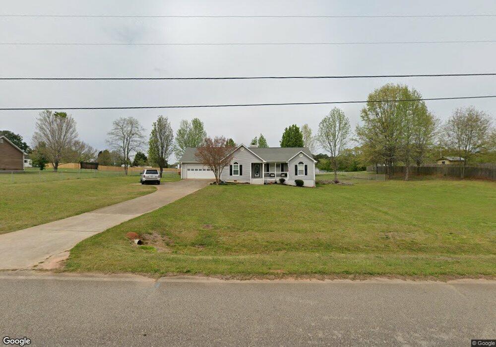
525 Laney Rd Locust Grove, GA 30248
Estimated Value: $259,000 - $278,000
3
Beds
2
Baths
1,366
Sq Ft
$196/Sq Ft
Est. Value
About This Home
This home is located at 525 Laney Rd, Locust Grove, GA 30248 and is currently estimated at $267,866, approximately $196 per square foot. 525 Laney Rd is a home located in Henry County with nearby schools including New Hope Elementary School, Locust Grove Middle School, and Locust Grove High School.
Ownership History
Date
Name
Owned For
Owner Type
Purchase Details
Closed on
Sep 17, 2020
Sold by
Walker Elizabeth J
Bought by
Bates Adam D
Current Estimated Value
Home Financials for this Owner
Home Financials are based on the most recent Mortgage that was taken out on this home.
Original Mortgage
$177,721
Outstanding Balance
$157,716
Interest Rate
2.9%
Mortgage Type
FHA
Estimated Equity
$110,150
Purchase Details
Closed on
May 21, 1993
Sold by
Chamlee Claude M
Bought by
Leonard Lyle A and Leonard Tanya
Home Financials for this Owner
Home Financials are based on the most recent Mortgage that was taken out on this home.
Original Mortgage
$72,563
Interest Rate
7.43%
Mortgage Type
FHA
Create a Home Valuation Report for This Property
The Home Valuation Report is an in-depth analysis detailing your home's value as well as a comparison with similar homes in the area
Home Values in the Area
Average Home Value in this Area
Purchase History
| Date | Buyer | Sale Price | Title Company |
|---|---|---|---|
| Bates Adam D | $181,000 | -- | |
| Leonard Lyle A | $73,700 | -- |
Source: Public Records
Mortgage History
| Date | Status | Borrower | Loan Amount |
|---|---|---|---|
| Open | Bates Adam D | $177,721 | |
| Previous Owner | Leonard Lyle A | $72,563 |
Source: Public Records
Tax History Compared to Growth
Tax History
| Year | Tax Paid | Tax Assessment Tax Assessment Total Assessment is a certain percentage of the fair market value that is determined by local assessors to be the total taxable value of land and additions on the property. | Land | Improvement |
|---|---|---|---|---|
| 2025 | $4,322 | $108,320 | $15,240 | $93,080 |
| 2024 | $4,322 | $106,120 | $13,880 | $92,240 |
| 2023 | $4,125 | $106,480 | $13,360 | $93,120 |
| 2022 | $3,135 | $80,680 | $12,360 | $68,320 |
| 2021 | $2,696 | $69,240 | $10,600 | $58,640 |
| 2020 | $457 | $61,520 | $10,000 | $51,520 |
| 2019 | $457 | $50,720 | $9,480 | $41,240 |
| 2018 | $457 | $45,920 | $8,760 | $37,160 |
| 2016 | $378 | $37,920 | $6,480 | $31,440 |
| 2015 | $388 | $36,920 | $7,320 | $29,600 |
| 2014 | $276 | $29,480 | $7,320 | $22,160 |
Source: Public Records
Map
Nearby Homes
- S S Laney Rd
- 690 Laney Rd
- 376 Cattlemans Cir
- 125 Karen Dr
- 125 Laney Ct
- 175 Laney Ct Unit 1
- 976 S Laney Rd
- 328 Cattlemans Cir
- 215 Laney Rd
- 225 Laney Ct
- 100 Harbin Trail
- 121 Ducati Dr
- 888 Laney Rd
- 1126 Old Jackson Rd
- 290 New Hope Rd
- 732 New Hope Rd
- 995 Old Jackson Rd
- 0 S Ola Rd Unit 10563258
- 813 S Ola Rd
- 281 Laney Dr
- 505 Laney Rd Unit 805
- 505 Laney Rd
- 535 Laney Rd
- 124 Michael Ln
- 520 Laney Rd
- 120 Michael Ln
- 556 Laney Rd
- 556 Laney Rd Unit 1
- 130 Michael Ln
- 130 Michaels Dr
- 723 S Laney Rd
- 490 Laney Rd
- 575 Plantation Rd
- 543 Laney Rd
- 125 Michael Ln
- 578 Laney Rd
- 116 Michael Ln
- 475 Laney Rd
- 555 Plantation Rd
- 119 Michael Ln