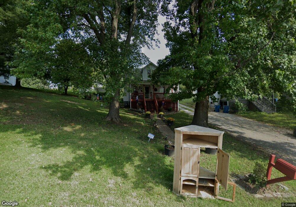
525 Larue St Collinsville, IL 62234
Estimated Value: $153,000 - $241,680
4
Beds
3
Baths
1,820
Sq Ft
$106/Sq Ft
Est. Value
About This Home
This home is located at 525 Larue St, Collinsville, IL 62234 and is currently estimated at $192,170, approximately $105 per square foot. 525 Larue St is a home located in Madison County with nearby schools including John A Renfro Elementary School, Dorris Intermediate School, and Collinsville Middle School.
Ownership History
Date
Name
Owned For
Owner Type
Purchase Details
Closed on
Dec 30, 2010
Sold by
Kuhar Brandi L
Bought by
Reinert Joel M
Current Estimated Value
Home Financials for this Owner
Home Financials are based on the most recent Mortgage that was taken out on this home.
Original Mortgage
$111,110
Outstanding Balance
$75,643
Interest Rate
4.75%
Mortgage Type
FHA
Estimated Equity
$116,527
Create a Home Valuation Report for This Property
The Home Valuation Report is an in-depth analysis detailing your home's value as well as a comparison with similar homes in the area
Home Values in the Area
Average Home Value in this Area
Purchase History
| Date | Buyer | Sale Price | Title Company |
|---|---|---|---|
| Reinert Joel M | $114,000 | Fatic |
Source: Public Records
Mortgage History
| Date | Status | Borrower | Loan Amount |
|---|---|---|---|
| Open | Reinert Joel M | $111,110 |
Source: Public Records
Tax History Compared to Growth
Tax History
| Year | Tax Paid | Tax Assessment Tax Assessment Total Assessment is a certain percentage of the fair market value that is determined by local assessors to be the total taxable value of land and additions on the property. | Land | Improvement |
|---|---|---|---|---|
| 2024 | $2,741 | $53,880 | $11,860 | $42,020 |
| 2023 | $2,741 | $49,870 | $10,980 | $38,890 |
| 2022 | $2,887 | $46,110 | $10,150 | $35,960 |
| 2021 | $2,715 | $45,310 | $10,000 | $35,310 |
| 2020 | $2,599 | $43,230 | $9,540 | $33,690 |
| 2019 | $2,515 | $41,750 | $9,210 | $32,540 |
| 2018 | $2,445 | $39,540 | $8,720 | $30,820 |
| 2017 | $2,440 | $38,760 | $8,550 | $30,210 |
| 2016 | $2,560 | $38,760 | $8,550 | $30,210 |
| 2015 | $1,781 | $29,790 | $10,090 | $19,700 |
| 2014 | $1,781 | $29,790 | $10,090 | $19,700 |
| 2013 | $1,781 | $29,790 | $10,090 | $19,700 |
Source: Public Records
Map
Nearby Homes
- 1120 Williams St
- 1210 Constance St
- 203 Greenfield Dr
- 308 Brown Ave
- 706 Illinois Ave
- 1227 Ridge Ave
- 0 N Keebler Ave
- 1224 Cedar Ridge Ct
- 501 Spring
- 617 N Morrison Ave
- 919 Vine St
- 102 Toni Ct
- 414 Bunker Hill Dr
- 892 Lester Ave
- 921 Prospect St
- 123 W Wickliffe Ave
- 22 Brookwood Dr
- 1002 California Ave
- 0 Strong Ave
- 5 Brookwood Dr