525 Lord's Way Andrews, NC 28901
Estimated Value: $196,000 - $361,000
2
Beds
2
Baths
1,000
Sq Ft
$275/Sq Ft
Est. Value
About This Home
This home is located at 525 Lord's Way, Andrews, NC 28901 and is currently estimated at $274,864, approximately $274 per square foot. 525 Lord's Way is a home located in Cherokee County with nearby schools including Andrews Elementary School, Andrews Middle School, and Andrews High School.
Ownership History
Date
Name
Owned For
Owner Type
Purchase Details
Closed on
Mar 6, 2024
Sold by
Willliam H Thrasher H and Willliam Phyllis V
Bought by
William H Thrasher And Phyllis V Thrasher Rev and Thrasher
Current Estimated Value
Purchase Details
Closed on
Feb 18, 2005
Sold by
Guthrie Lester E and Guthrie Harriet P
Bought by
Thrasher William H and Thrasher Phyllis
Home Financials for this Owner
Home Financials are based on the most recent Mortgage that was taken out on this home.
Original Mortgage
$108,000
Interest Rate
5.69%
Mortgage Type
New Conventional
Create a Home Valuation Report for This Property
The Home Valuation Report is an in-depth analysis detailing your home's value as well as a comparison with similar homes in the area
Home Values in the Area
Average Home Value in this Area
Purchase History
| Date | Buyer | Sale Price | Title Company |
|---|---|---|---|
| William H Thrasher And Phyllis V Thrasher Rev | -- | None Listed On Document | |
| William H Thrasher And Phyllis V Thrasher Rev | -- | None Listed On Document | |
| Thrasher William H | $135,000 | -- |
Source: Public Records
Mortgage History
| Date | Status | Borrower | Loan Amount |
|---|---|---|---|
| Previous Owner | Thrasher William H | $108,000 |
Source: Public Records
Tax History Compared to Growth
Tax History
| Year | Tax Paid | Tax Assessment Tax Assessment Total Assessment is a certain percentage of the fair market value that is determined by local assessors to be the total taxable value of land and additions on the property. | Land | Improvement |
|---|---|---|---|---|
| 2025 | $1,374 | $194,190 | $0 | $0 |
| 2024 | $1,374 | $194,190 | $0 | $0 |
| 2023 | $1,364 | $194,190 | $0 | $0 |
| 2022 | $1,364 | $194,190 | $0 | $0 |
| 2021 | $0 | $194,190 | $15,000 | $179,190 |
| 2020 | $1,073 | $194,190 | $0 | $0 |
| 2019 | $1,176 | $190,150 | $0 | $0 |
| 2018 | $1,163 | $187,920 | $0 | $0 |
| 2017 | $1,163 | $187,920 | $0 | $0 |
| 2016 | $1,163 | $187,920 | $0 | $0 |
| 2015 | $1,163 | $187,920 | $46,000 | $141,920 |
| 2012 | -- | $187,920 | $46,000 | $141,920 |
Source: Public Records
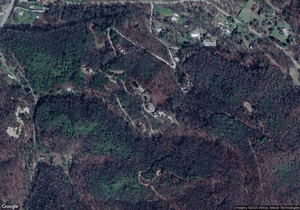
Map
Nearby Homes
- 0 Lords Way
- 2 Lords Way
- 2555 Junaluska Rd
- 508 Bolden Branch Rd
- 465 Robinson Rd
- 317 Robinson Rd
- 45 Sulpher Ln
- TBD Collett Woods Trail
- 200 Conager Trail
- TBD Wood Collett Cove
- TBD Mclean Rd
- Lot 22 Laramie Heights
- 221 Serenity Ridge Trail
- Lot 51 Grand View Falls
- 168 Laramie Heights
- 00 Cahill Dr
- 24 Cahill Dr
- 22 Lazy Bear Trail
- 2617 Stewart Rd
- 29 Breedlove Dr