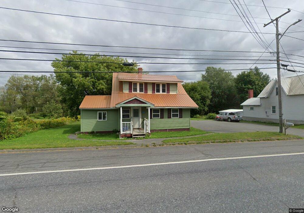
525 Main Rd Bridgewater, ME 04735
Estimated Value: $98,571 - $169,000
--
Bed
--
Bath
--
Sq Ft
0.28
Acres
About This Home
This home is located at 525 Main Rd, Bridgewater, ME 04735 and is currently estimated at $130,393. 525 Main Rd is a home.
Ownership History
Date
Name
Owned For
Owner Type
Purchase Details
Closed on
Jul 17, 2020
Sold by
Anthony William and Anthony Susan
Bought by
Orcutt Matthew D and Orcutt Anthony Molly
Current Estimated Value
Home Financials for this Owner
Home Financials are based on the most recent Mortgage that was taken out on this home.
Original Mortgage
$87,500
Outstanding Balance
$77,733
Interest Rate
3.2%
Mortgage Type
Stand Alone Refi Refinance Of Original Loan
Estimated Equity
$52,660
Purchase Details
Closed on
Jul 18, 2008
Sold by
Anthony Susan
Bought by
Anthony William and Anthony Susan
Home Financials for this Owner
Home Financials are based on the most recent Mortgage that was taken out on this home.
Original Mortgage
$81,200
Interest Rate
6.17%
Mortgage Type
Commercial
Create a Home Valuation Report for This Property
The Home Valuation Report is an in-depth analysis detailing your home's value as well as a comparison with similar homes in the area
Home Values in the Area
Average Home Value in this Area
Purchase History
| Date | Buyer | Sale Price | Title Company |
|---|---|---|---|
| Orcutt Matthew D | -- | None Available | |
| Orcutt Matthew D | -- | None Available | |
| Anthony William | -- | -- | |
| Anthony William | -- | -- |
Source: Public Records
Mortgage History
| Date | Status | Borrower | Loan Amount |
|---|---|---|---|
| Open | Orcutt Matthew D | $87,500 | |
| Closed | Orcutt Matthew D | $87,500 | |
| Previous Owner | Anthony William | $81,200 |
Source: Public Records
Tax History Compared to Growth
Tax History
| Year | Tax Paid | Tax Assessment Tax Assessment Total Assessment is a certain percentage of the fair market value that is determined by local assessors to be the total taxable value of land and additions on the property. | Land | Improvement |
|---|---|---|---|---|
| 2024 | $1,144 | $60,200 | $7,200 | $53,000 |
| 2021 | $1,144 | $60,200 | $7,200 | $53,000 |
| 2020 | $1,144 | $60,200 | $7,200 | $53,000 |
| 2019 | $1,038 | $60,200 | $7,200 | $53,000 |
| 2018 | $1,054 | $60,200 | $7,200 | $53,000 |
| 2017 | $1,023 | $60,200 | $7,200 | $53,000 |
| 2016 | $978 | $60,200 | $7,200 | $53,000 |
| 2015 | $928 | $58,000 | $7,200 | $50,800 |
| 2014 | $899 | $58,000 | $7,200 | $50,800 |
| 2013 | $870 | $58,000 | $7,200 | $50,800 |
Source: Public Records
Map
Nearby Homes
- 227 Boundary Line Rd
- 275 Boundary Line Rd
- 26 Bells Crossing
- 218 Montieth Rd
- 107 Robinson Rd
- 496 Fullerton Rd
- 381 Bubar Rd
- 77 Main St
- 17 York St
- 8 Benjamin St
- 11 Gilman St
- 462 East Rd
- 496 Britton Rd
- 55 Fort St
- 756 U S Route 1
- 119 W Conway Lake Rd
- TBD Water St
- 18 School St
- 52 E Conroy Lake Rd
- Map11 Lot1 High St