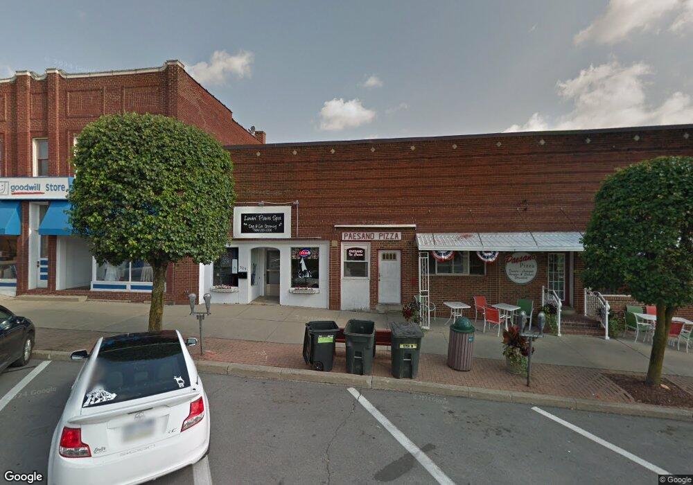
525 Main St Unit 527 Brockway, PA 15824
Estimated Value: $201,000 - $394,747
--
Bed
--
Bath
2,543
Sq Ft
$128/Sq Ft
Est. Value
About This Home
This home is located at 525 Main St Unit 527, Brockway, PA 15824 and is currently estimated at $324,937, approximately $127 per square foot. 525 Main St Unit 527 is a home located in Jefferson County with nearby schools including Brockway Area Elementary School, Brockway Area Junior/Senior High School, and Hillside School.
Ownership History
Date
Name
Owned For
Owner Type
Purchase Details
Closed on
Jun 27, 2024
Sold by
Delponte John A
Bought by
Kuhar Rebekah M
Current Estimated Value
Home Financials for this Owner
Home Financials are based on the most recent Mortgage that was taken out on this home.
Original Mortgage
$260,000
Outstanding Balance
$256,912
Interest Rate
7.02%
Mortgage Type
Credit Line Revolving
Estimated Equity
$68,025
Purchase Details
Closed on
Mar 11, 2019
Sold by
Delponte John and Delponte Carol
Bought by
Delponte John A
Create a Home Valuation Report for This Property
The Home Valuation Report is an in-depth analysis detailing your home's value as well as a comparison with similar homes in the area
Home Values in the Area
Average Home Value in this Area
Purchase History
| Date | Buyer | Sale Price | Title Company |
|---|---|---|---|
| Kuhar Rebekah M | $380,000 | None Listed On Document | |
| Delponte John A | -- | None Available |
Source: Public Records
Mortgage History
| Date | Status | Borrower | Loan Amount |
|---|---|---|---|
| Open | Kuhar Rebekah M | $260,000 |
Source: Public Records
Tax History Compared to Growth
Tax History
| Year | Tax Paid | Tax Assessment Tax Assessment Total Assessment is a certain percentage of the fair market value that is determined by local assessors to be the total taxable value of land and additions on the property. | Land | Improvement |
|---|---|---|---|---|
| 2025 | $1,459 | $30,800 | $7,570 | $23,230 |
| 2024 | $1,664 | $30,800 | $7,570 | $23,230 |
| 2023 | $1,428 | $30,800 | $7,570 | $23,230 |
| 2022 | $1,428 | $30,800 | $7,570 | $23,230 |
| 2021 | $1,428 | $30,800 | $7,570 | $23,230 |
| 2020 | $1,428 | $30,800 | $7,570 | $23,230 |
| 2019 | $1,377 | $30,800 | $7,570 | $23,230 |
| 2018 | $1,317 | $30,800 | $7,570 | $23,230 |
| 2017 | $1,301 | $30,800 | $7,570 | $23,230 |
| 2016 | $1,174 | $30,800 | $7,570 | $23,230 |
| 2015 | -- | $30,800 | $7,570 | $23,230 |
| 2012 | -- | $30,800 | $7,570 | $23,230 |
Source: Public Records
Map
Nearby Homes
- 1074 10th Ave
- 1549 Main St
- 924 Elm St
- 0 U S 219
- 970 Baghdad Rd
- 19 Salandra Ln
- 7956 U S 219
- 425 Zuccolotto Ln
- 1083 Rattlesnake Rd
- 101 Howard Rd
- 5850 U S 219
- 5546 Stevenson Hill Rd
- 390 Galliot Ct
- 0 Coal Glen Rd
- 636 Cap Haitien Rd
- 0 Cap Haitien Rd Unit SEC 17 LOT 14
- 3585 Shawmut Rd
- 13 Cap Haitien Rd
- Section 14 Lot 24 Port-Au-prince Rd
- 14 Port-Au-prince Rd
- 0 Alexander H Lindsay Memorial Hwy
- 441 Main St Unit 455
- 1109 Pershing Ave
- 1102 Pershing Ave
- 949 5th Ave
- 426 Main St
- 620 Green Way
- 418 Main St
- 1111 Pershing Ave
- 424 Alexander St Unit 430
- 933 5th Ave
- 643 Main St
- 410 Main St
- 920 5th Ave
- 1115 Pershing Ave
- 927 5th Ave
- 525 Broad St Unit 529
- 1112 Pershing Ave
- 917 5th Ave
- 533 Broad St