525 Mangum Bridge Rd Maysville, GA 30558
Estimated Value: $855,000 - $1,322,000
4
Beds
3
Baths
1,956
Sq Ft
$595/Sq Ft
Est. Value
About This Home
This home is located at 525 Mangum Bridge Rd, Maysville, GA 30558 and is currently estimated at $1,164,656, approximately $595 per square foot. 525 Mangum Bridge Rd is a home located in Jackson County with nearby schools including Maysville Elementary School, East Jackson Middle School, and East Jackson Comprehensive High School.
Ownership History
Date
Name
Owned For
Owner Type
Purchase Details
Closed on
Aug 8, 2014
Sold by
Wright Phyllis Dianne
Bought by
Shurtz Anthony and Shurtz Lisa
Current Estimated Value
Purchase Details
Closed on
Dec 17, 2013
Sold by
Nalley Dianne
Bought by
Wright Phyllis Dianne
Home Financials for this Owner
Home Financials are based on the most recent Mortgage that was taken out on this home.
Original Mortgage
$492,000
Interest Rate
4.25%
Mortgage Type
FHA
Purchase Details
Closed on
Apr 3, 2002
Sold by
Phelan Phyllis D
Bought by
Nalley Dianne
Purchase Details
Closed on
May 14, 1999
Sold by
Rich Dennis D
Bought by
Phelan Phyllis D
Create a Home Valuation Report for This Property
The Home Valuation Report is an in-depth analysis detailing your home's value as well as a comparison with similar homes in the area
Home Values in the Area
Average Home Value in this Area
Purchase History
| Date | Buyer | Sale Price | Title Company |
|---|---|---|---|
| Shurtz Anthony | $467,000 | -- | |
| Wright Phyllis Dianne | -- | -- | |
| Nalley Dianne | -- | -- | |
| Phelan Phyllis D | $390,000 | -- |
Source: Public Records
Mortgage History
| Date | Status | Borrower | Loan Amount |
|---|---|---|---|
| Previous Owner | Wright Phyllis Dianne | $492,000 |
Source: Public Records
Tax History Compared to Growth
Tax History
| Year | Tax Paid | Tax Assessment Tax Assessment Total Assessment is a certain percentage of the fair market value that is determined by local assessors to be the total taxable value of land and additions on the property. | Land | Improvement |
|---|---|---|---|---|
| 2024 | $10,530 | $443,920 | $233,560 | $210,360 |
| 2023 | $10,530 | $417,560 | $233,560 | $184,000 |
| 2022 | $6,451 | $222,160 | $79,400 | $142,760 |
| 2021 | $6,407 | $222,160 | $79,400 | $142,760 |
| 2020 | $6,314 | $200,120 | $79,400 | $120,720 |
| 2019 | $6,409 | $200,120 | $79,400 | $120,720 |
| 2018 | $4,831 | $229,360 | $86,920 | $142,440 |
| 2017 | $4,352 | $196,478 | $69,552 | $126,926 |
| 2016 | $4,370 | $196,478 | $69,552 | $126,926 |
| 2015 | $4,133 | $196,479 | $69,552 | $126,926 |
| 2014 | $4,349 | $192,799 | $69,552 | $123,246 |
| 2013 | -- | $192,798 | $69,552 | $123,246 |
Source: Public Records
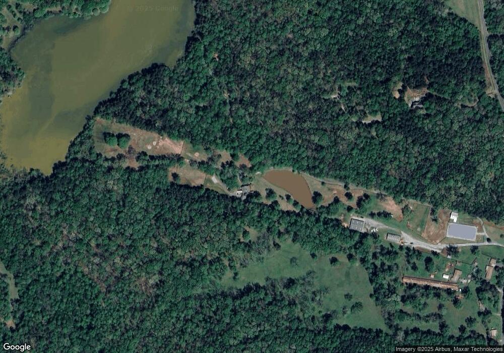
Map
Nearby Homes
- 142 Holland Dam Dr
- 119 Yarbrough Ridgeway Rd
- 0 Wheeler Cemetery Rd Unit 10647289
- 0 Hunters Glen Unit 7657277
- 0 Hunters Glen Unit 10614427
- 5830 Maysville Rd
- 301 Oak Ridge Dr
- 69 Wilbanks Way
- 75 Meadow Lark Way
- 1480 Wheeler Cemetery Rd
- 1341 Wheeler Creek Rd
- 108 Lillie Ln
- 129 Crane St
- 241 Sims St
- 362 Sims St
- 1911 Ridgeway Church Rd
- 390 Beck Farm Rd
- 82 Maywood Ct
- 47 Shelby Ct Unit HOMESITE 28
- 103 Sherwood Dr Unit LOT 16
- 727 Mangum Bridge Rd
- 525 Mangum Rd
- 491 Mangum Bridge Rd
- 491 Mangum Bridge Rd
- 491 Mangum Bridge Rd
- 872 Mangum Bridge Rd
- 1260 N Mangum Bridge Rd
- 334 Holland Dam Dr
- 806 Mangum Bridge Rd
- 118 Remedy Dr
- 1241 N Mangum Bridge Rd
- 585 Pritchett Rd
- 134 Remedy Dr
- 514 Sears Dr
- 135 Boone Rd
- 1152 N Mangum Bridge Rd
- 489 Sears Dr
- 136 Williams Estate Rd
- 510 Sears Dr
- 479 Deer Run