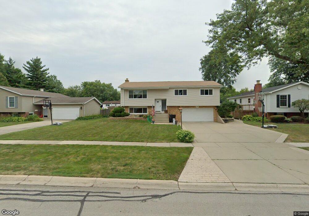
525 Maple Ln Darien, IL 60561
Estimated Value: $399,000 - $494,000
Studio
1
Bath
1,194
Sq Ft
$374/Sq Ft
Est. Value
About This Home
This home is located at 525 Maple Ln, Darien, IL 60561 and is currently estimated at $446,344, approximately $373 per square foot. 525 Maple Ln is a home located in DuPage County with nearby schools including Mark Delay School, Lace Elementary School, and Eisenhower Jr High School.
Ownership History
Date
Name
Owned For
Owner Type
Purchase Details
Closed on
Jun 19, 1998
Sold by
Krohse Melvin E and The Melvin E Krohse Trust
Bought by
Spacone Anthony and Spacone Anna Marie
Current Estimated Value
Home Financials for this Owner
Home Financials are based on the most recent Mortgage that was taken out on this home.
Original Mortgage
$152,100
Outstanding Balance
$27,453
Interest Rate
7.22%
Estimated Equity
$418,891
Purchase Details
Closed on
Oct 6, 1997
Sold by
Krohse Melvin E
Bought by
Krohse Melvin E and The Melvin E Krohse Trust
Create a Home Valuation Report for This Property
The Home Valuation Report is an in-depth analysis detailing your home's value as well as a comparison with similar homes in the area
Home Values in the Area
Average Home Value in this Area
Purchase History
| Date | Buyer | Sale Price | Title Company |
|---|---|---|---|
| Spacone Anthony | $169,000 | -- | |
| Krohse Melvin E | -- | -- |
Source: Public Records
Mortgage History
| Date | Status | Borrower | Loan Amount |
|---|---|---|---|
| Open | Spacone Anthony | $152,100 |
Source: Public Records
Tax History
| Year | Tax Paid | Tax Assessment Tax Assessment Total Assessment is a certain percentage of the fair market value that is determined by local assessors to be the total taxable value of land and additions on the property. | Land | Improvement |
|---|---|---|---|---|
| 2024 | $7,491 | $124,260 | $44,959 | $79,301 |
| 2023 | $7,210 | $114,230 | $41,330 | $72,900 |
| 2022 | $7,088 | $111,880 | $40,480 | $71,400 |
| 2021 | $6,818 | $110,610 | $40,020 | $70,590 |
| 2020 | $6,726 | $108,420 | $39,230 | $69,190 |
| 2019 | $6,501 | $104,030 | $37,640 | $66,390 |
| 2018 | $6,035 | $97,740 | $37,470 | $60,270 |
| 2017 | $5,974 | $94,060 | $36,060 | $58,000 |
| 2016 | $5,817 | $89,760 | $34,410 | $55,350 |
| 2015 | $5,731 | $84,440 | $32,370 | $52,070 |
| 2014 | $5,427 | $79,230 | $31,470 | $47,760 |
| 2013 | $5,246 | $78,860 | $31,320 | $47,540 |
Source: Public Records
Map
Nearby Homes
- 401 69th St
- 6925 Clarendon Hills Rd
- 321 Janet Ave
- 6648 Weather Hill Dr
- 6136 Bentley Ave
- 301 Lake Hinsdale Dr Unit 108
- 301 Lake Hinsdale Dr Unit 404
- 7525 Nantucket Dr Unit 210
- 318 Arabian Cir
- 601 Lake Hinsdale Dr Unit 101
- 601 Lake Hinsdale Dr Unit 112
- 6503 Clarendon Hills Rd
- 701 Lake Hinsdale Dr Unit 306
- 1013 Torrey Pines Ct
- 101 Lake Hinsdale Dr Unit 205
- 7700 Apple Tree Ln
- 19 Portwine Rd
- 1156 Bristlecone Ct
- 7725 Sawyer Rd
- 77 Lake Hinsdale Dr Unit 207
Your Personal Tour Guide
Ask me questions while you tour the home.