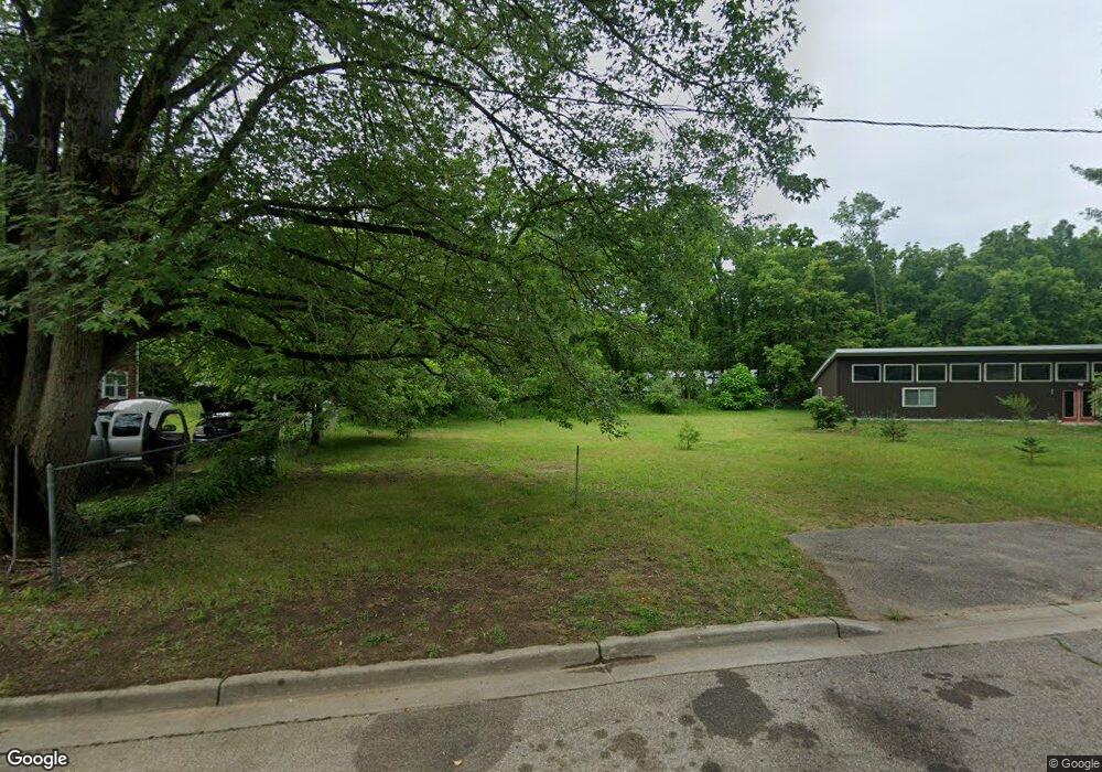
525 Maple St Allegan, MI 49010
Estimated Value: $24,000 - $204,000
--
Bed
--
Bath
--
Sq Ft
9,278
Sq Ft Lot
About This Home
This home is located at 525 Maple St, Allegan, MI 49010 and is currently estimated at $121,667. 525 Maple St is a home located in Allegan County with nearby schools including West Ward Elementary School, L.E. White Middle School, and Allegan High School.
Ownership History
Date
Name
Owned For
Owner Type
Purchase Details
Closed on
Apr 19, 2019
Sold by
Bird Roger Lee
Bought by
Bird Elilah and Bird Margan
Current Estimated Value
Purchase Details
Closed on
Aug 1, 2017
Sold by
The Bridge In Allegan
Bought by
Bird Roger
Purchase Details
Closed on
Jul 9, 2015
Sold by
Gun Lake Community Church
Bought by
The Bridge In Allegan
Purchase Details
Closed on
Dec 23, 2009
Sold by
Davies Homes Llc
Bought by
Gun Lake Community Church
Purchase Details
Closed on
Jul 13, 2007
Sold by
Brokus Augusta and Brokus Stanley
Bought by
Davies Homes Llc
Home Financials for this Owner
Home Financials are based on the most recent Mortgage that was taken out on this home.
Original Mortgage
$15,200
Interest Rate
6.77%
Mortgage Type
Purchase Money Mortgage
Create a Home Valuation Report for This Property
The Home Valuation Report is an in-depth analysis detailing your home's value as well as a comparison with similar homes in the area
Home Values in the Area
Average Home Value in this Area
Purchase History
| Date | Buyer | Sale Price | Title Company |
|---|---|---|---|
| Bird Elilah | -- | None Available | |
| Bird Roger | -- | Attorney | |
| The Bridge In Allegan | -- | None Available | |
| Gun Lake Community Church | -- | None Available | |
| Davies Homes Llc | $19,000 | Michigan Bankers Title |
Source: Public Records
Mortgage History
| Date | Status | Borrower | Loan Amount |
|---|---|---|---|
| Previous Owner | Davies Homes Llc | $15,200 |
Source: Public Records
Tax History Compared to Growth
Tax History
| Year | Tax Paid | Tax Assessment Tax Assessment Total Assessment is a certain percentage of the fair market value that is determined by local assessors to be the total taxable value of land and additions on the property. | Land | Improvement |
|---|---|---|---|---|
| 2025 | $415 | $11,700 | $11,700 | $0 |
| 2024 | $378 | $10,200 | $10,200 | $0 |
| 2023 | $390 | $9,700 | $9,700 | $0 |
| 2022 | $378 | $8,000 | $8,000 | $0 |
| 2021 | $362 | $6,400 | $6,400 | $0 |
| 2020 | $357 | $5,900 | $5,900 | $0 |
| 2019 | $349 | $5,600 | $5,600 | $0 |
| 2018 | $315 | $5,500 | $5,500 | $0 |
| 2017 | $0 | $4,600 | $4,600 | $0 |
| 2016 | $0 | $3,800 | $3,800 | $0 |
| 2015 | -- | $3,800 | $3,800 | $0 |
| 2014 | -- | $3,800 | $3,800 | $0 |
| 2013 | $324 | $3,800 | $3,800 | $0 |
Source: Public Records
Map
Nearby Homes