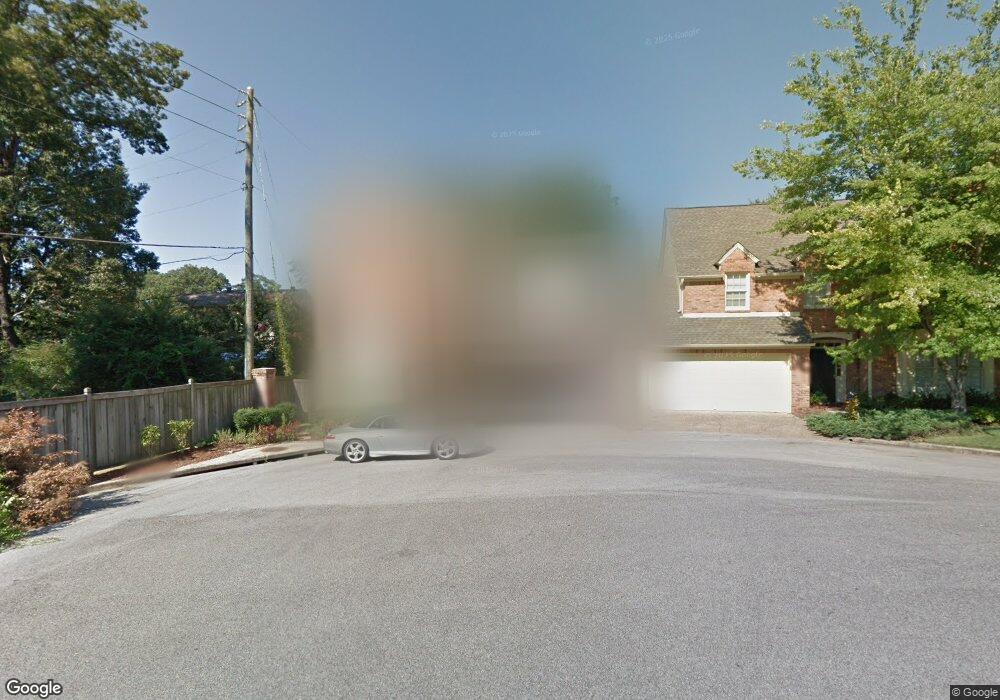
525 Mayfair Cir Birmingham, AL 35209
Estimated Value: $753,000 - $880,000
3
Beds
3
Baths
3,220
Sq Ft
$260/Sq Ft
Est. Value
About This Home
This home is located at 525 Mayfair Cir, Birmingham, AL 35209 and is currently estimated at $838,453, approximately $260 per square foot. 525 Mayfair Cir is a home located in Jefferson County with nearby schools including Shades Cahaba Elementary School, Homewood Middle School, and Homewood High School.
Ownership History
Date
Name
Owned For
Owner Type
Purchase Details
Closed on
Feb 13, 2024
Sold by
Cox Artemus J
Bought by
Harvey David and Harvey Nina
Current Estimated Value
Purchase Details
Closed on
Dec 8, 2000
Sold by
Cardwell Thomas Philip D and Cardwell S
Bought by
Cox Artemus J
Home Financials for this Owner
Home Financials are based on the most recent Mortgage that was taken out on this home.
Original Mortgage
$200,000
Interest Rate
7.72%
Create a Home Valuation Report for This Property
The Home Valuation Report is an in-depth analysis detailing your home's value as well as a comparison with similar homes in the area
Home Values in the Area
Average Home Value in this Area
Purchase History
| Date | Buyer | Sale Price | Title Company |
|---|---|---|---|
| Harvey David | $790,000 | -- | |
| Cox Artemus J | $267,800 | -- |
Source: Public Records
Mortgage History
| Date | Status | Borrower | Loan Amount |
|---|---|---|---|
| Previous Owner | Cox Artemus J | $200,000 | |
| Closed | Cox Artemus J | $37,500 |
Source: Public Records
Tax History Compared to Growth
Tax History
| Year | Tax Paid | Tax Assessment Tax Assessment Total Assessment is a certain percentage of the fair market value that is determined by local assessors to be the total taxable value of land and additions on the property. | Land | Improvement |
|---|---|---|---|---|
| 2024 | $4,030 | $74,400 | -- | -- |
| 2022 | $4,110 | $55,730 | $13,600 | $42,130 |
| 2021 | $3,583 | $48,710 | $13,600 | $35,110 |
| 2020 | $3,022 | $41,230 | $13,600 | $27,630 |
| 2019 | $2,649 | $36,260 | $0 | $0 |
| 2018 | $2,926 | $39,960 | $0 | $0 |
| 2017 | $2,620 | $35,880 | $0 | $0 |
| 2016 | $2,938 | $40,120 | $0 | $0 |
| 2015 | $2,620 | $35,880 | $0 | $0 |
| 2014 | $2,594 | $35,460 | $0 | $0 |
| 2013 | $2,594 | $35,460 | $0 | $0 |
Source: Public Records
Map
Nearby Homes
- 1807 Mayfair Dr
- 1618 Wellington Rd
- 300 Hallman Hill Unit 206
- 1614 Wellington Rd
- 200 Hallman Hill E Unit 213
- 350 Hallman Hill E Unit 105
- 1616 Roseland Dr
- 2929 Parkridge Dr
- 1830 29th Ave S Unit 335
- 1735 Saulter Rd
- 1852 Windsor Blvd
- 3415 Windsor Blvd
- 3408 Sandner Ct Unit A
- 3417 Sandner Ct Unit B
- 3441 Sandner Ct Unit D
- 1640 Ridge Rd
- 3401 Sandner Ct Unit R
- 2105 Lancaster Rd
- 1733 Windsor Blvd
- 1725 Windsor Blvd
- 521 Mayfair Cir
- 517 Mayfair Cir
- 3105 Overton Dr
- 3101 Overton Dr
- 509 Mayfair Cir
- 3100 Whitehall Rd
- 526 Mayfair Cir
- 520 Mayfair Cir
- 516 Mayfair Cir
- 3107 Overton Dr
- 512 Mayfair Cir
- 501 Mayfair Cir
- 508 Mayfair Cir
- 3100 Overton Dr
- 1750 Huntington Rd
- 3109 Overton Dr
- 504 Mayfair Cir
- 305 Mayfair Cir
- 3104 Whitehall Rd
- 3106 Overton Dr