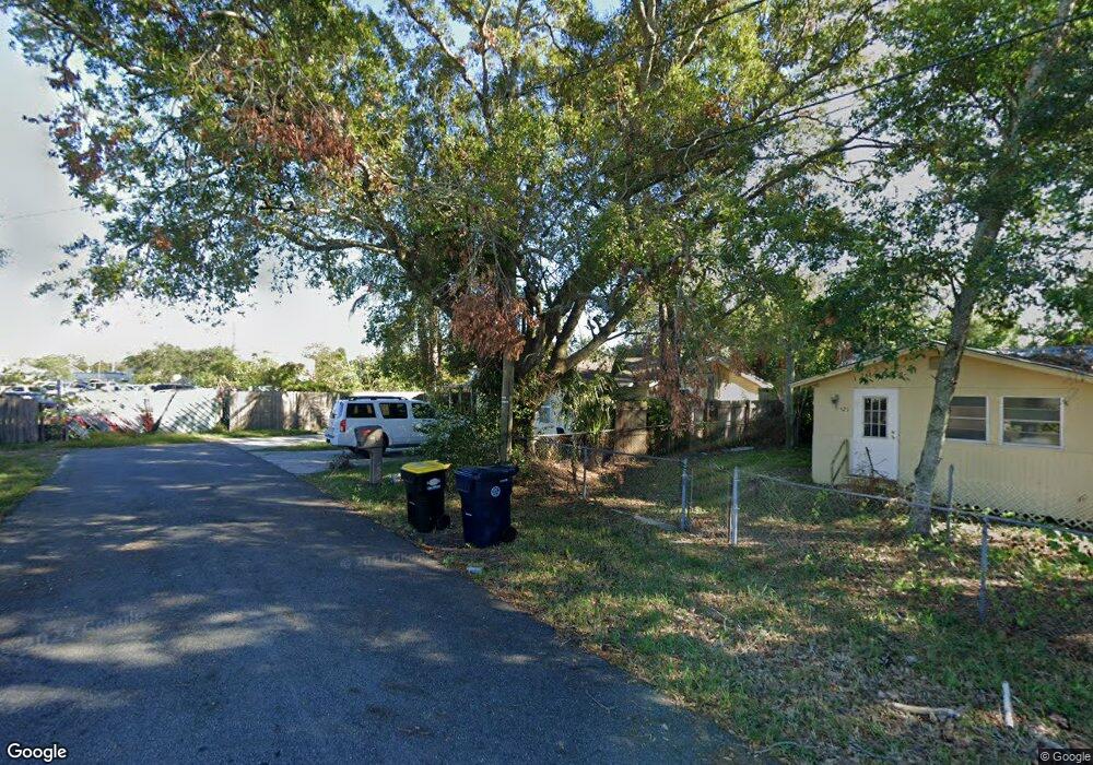
525 McDonald Ave Auburndale, FL 33823
Estimated Value: $125,000 - $180,000
2
Beds
1
Bath
938
Sq Ft
$162/Sq Ft
Est. Value
About This Home
This home is located at 525 McDonald Ave, Auburndale, FL 33823 and is currently estimated at $152,389, approximately $162 per square foot. 525 McDonald Ave is a home with nearby schools including Auburndale Central Elementary School, Auburndale Senior High School, and Jewett School of the Arts.
Ownership History
Date
Name
Owned For
Owner Type
Purchase Details
Closed on
Aug 7, 2006
Sold by
Nevins Edward
Bought by
Lopez Victor
Current Estimated Value
Home Financials for this Owner
Home Financials are based on the most recent Mortgage that was taken out on this home.
Original Mortgage
$45,000
Interest Rate
16%
Mortgage Type
Stand Alone First
Purchase Details
Closed on
Sep 29, 2004
Sold by
Mcginnis Edwin and Mcginnes Darrel
Bought by
Nevins Edward and Salvage Xauto
Create a Home Valuation Report for This Property
The Home Valuation Report is an in-depth analysis detailing your home's value as well as a comparison with similar homes in the area
Home Values in the Area
Average Home Value in this Area
Purchase History
| Date | Buyer | Sale Price | Title Company |
|---|---|---|---|
| Lopez Victor | $25,000 | Multiple | |
| Nevins Edward | $5,000 | -- |
Source: Public Records
Mortgage History
| Date | Status | Borrower | Loan Amount |
|---|---|---|---|
| Closed | Lopez Victor | $45,000 |
Source: Public Records
Tax History Compared to Growth
Tax History
| Year | Tax Paid | Tax Assessment Tax Assessment Total Assessment is a certain percentage of the fair market value that is determined by local assessors to be the total taxable value of land and additions on the property. | Land | Improvement |
|---|---|---|---|---|
| 2025 | $864 | $29,193 | -- | -- |
| 2024 | $848 | $26,539 | -- | -- |
| 2023 | $848 | $24,126 | $0 | $0 |
| 2022 | $738 | $21,933 | $0 | $0 |
| 2021 | $596 | $19,939 | $0 | $0 |
| 2020 | $540 | $56,038 | $9,374 | $46,664 |
| 2018 | $272 | $15,479 | $7,499 | $7,980 |
| 2017 | $243 | $13,618 | $0 | $0 |
| 2016 | $234 | $12,901 | $0 | $0 |
| 2015 | $235 | $12,646 | $0 | $0 |
| 2014 | $298 | $16,569 | $0 | $0 |
Source: Public Records
Map
Nearby Homes
- 320 Ariana Ave
- 226 Noxon St
- 227 Mckean St
- 605 Alberta Ave
- 0 Howard St
- 132 Mckean St Unit A,B
- 117 Noxon St
- 116 Palm Ave
- 155 Pearl St
- 1311 U S 92 Unit 117
- 1311 U S 92 Unit 42
- 1311 U S 92 Unit 107
- 1311 U S 92 Unit 119
- 1311 U S 92 Unit 36
- 1311 U S 92 Unit 80
- 1311 U S 92 Unit 129
- 1311 U S 92 Unit 115
- 1311 U S 92 Unit 28
- 1311 U S 92 Unit 34
- 1311 U S 92 Unit 67
- 527 McDonald Ave
- 529 McDonald Ave
- McDonald Ave
- 533 1/2 McDonald Ave
- 533 McDonald Ave
- 511 W Bridgers Ave
- 535 McDonald Ave
- 524 McDonald Ave
- 537 McDonald Ave
- 0 Bridgers Ave Unit P4608260
- 0 Bridgers Ave Unit P4702385
- 0 Bridgers Ave Unit P4617246
- 0 Bridgers Ave Unit P4617245
- 230 Palm Ave
- 237 Nelson St
- 229 Palm Ave
- 235 Nelson St
- 228 Palm Ave
- 305 Mckean St
- 234 Noxon St