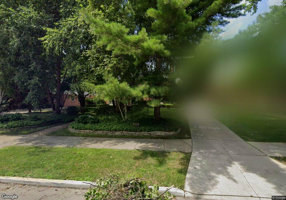
525 Middlesex Rd Grosse Pointe Park, MI 48230
Grosse Pointe Park AreaEstimated Value: $785,265 - $901,000
About This Home
This home is located at 525 Middlesex Rd, Grosse Pointe Park, MI 48230 and is currently estimated at $848,816, approximately $281 per square foot. 525 Middlesex Rd is a home located in Wayne County with nearby schools including Pierce Middle School, Grosse Pointe South High School, and Detroit Merit Charter Academy.
Ownership History
We collect this data history from publicly available records. To have your information removed, we recommend requesting removal directly through your county’s website.
Purchase Details
Home Values in the Area
Average Home Value in this Area
Purchase History
We collect this data history from publicly available records. To have your information removed, we recommend requesting removal directly through your county’s website.
| Date | Buyer | Sale Price | Title Company |
|---|---|---|---|
| $540,000 | -- |
Tax History
We collect this data history from publicly available records. To have your information removed, we recommend requesting removal directly through your county’s website.
| Year | Tax Paid | Tax Assessment Tax Assessment Total Assessment is a certain percentage of the fair market value that is determined by local assessors to be the total taxable value of land and additions on the property. | Land | Improvement |
|---|---|---|---|---|
| 2025 | $5,814 | $313,400 | $0 | $0 |
| 2024 | $5,597 | $301,700 | $0 | $0 |
| 2023 | $5,345 | $290,900 | $0 | $0 |
| 2022 | $5,077 | $232,100 | $0 | $0 |
| 2021 | $10,012 | $213,900 | $0 | $0 |
| 2020 | $10,514 | $212,100 | $0 | $0 |
| 2019 | $10,303 | $209,200 | $0 | $0 |
| 2018 | $4,841 | $187,200 | $0 | $0 |
| 2017 | $10,852 | $152,800 | $0 | $0 |
| 2016 | $11,183 | $226,700 | $0 | $0 |
| 2015 | $20,160 | $221,000 | $0 | $0 |
| 2013 | $19,530 | $198,700 | $0 | $0 |
| 2012 | $5,146 | $209,300 | $73,900 | $135,400 |
Map
- 542 Lakepointe St
- 600 Middlesex Rd
- 615 Lakepointe St
- 178 Ashland St
- 688 Balfour St
- 701 Balfour St
- 175 Ashland St
- 204 Philip St
- 757 Middlesex Rd
- 758 Middlesex Rd
- 784 Barrington Rd
- 432 Manistique St
- 259 Marlborough St
- 229 Chalmers St
- 14356 Harbor Island
- 580 Alter Rd
- 821 Pemberton Rd
- 487 Philip St
- 576 Manistique St
- 219 Lakewood St
- 515 Middlesex Rd
- 505 Middlesex Rd
- 521 Middlesex Rd
- 516 Lakepointe St
- 520 Lakepointe St
- 512 Lakepointe St
- 524 Lakepointe St
- 15355 Windmill Pointe Dr
- 529 Middlesex Rd
- 508 Lakepointe St
- 528 Lakepointe St
- 15401 Windmill Pointe Dr
- 15401 Windmill
- 15335 Windmill Pointe Dr
- 15335 Windmill
- 534 Lakepointe St
- 506 Lakepointe St
- 545 Middlesex Rd
- 536 Middlesex Rd
- 15321 Windmill Pointe Dr
Ask me questions while you tour the home.