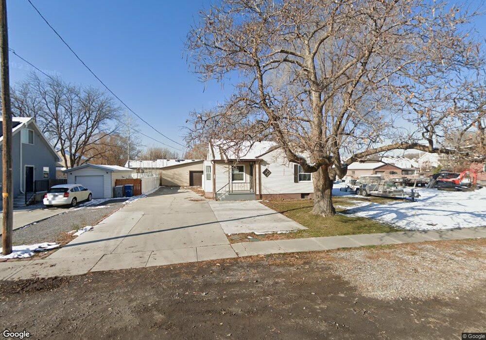
525 N 300 E American Fork, UT 84003
Estimated Value: $434,000 - $520,000
4
Beds
1
Bath
2,200
Sq Ft
$211/Sq Ft
Est. Value
About This Home
This home is located at 525 N 300 E, American Fork, UT 84003 and is currently estimated at $464,941, approximately $211 per square foot. 525 N 300 E is a home located in Utah County with nearby schools including Forbes Elementary School, American Fork Junior High School, and American Fork High School.
Ownership History
Date
Name
Owned For
Owner Type
Purchase Details
Closed on
Sep 9, 2020
Sold by
Rees Sterling and Rees Chantelle
Bought by
Rees Properties Llc
Current Estimated Value
Purchase Details
Closed on
Aug 27, 2020
Sold by
Rees Properties Llc
Bought by
Rees Sterling and Rees Chantelle
Purchase Details
Closed on
Dec 20, 2017
Sold by
Rees Sterling and Rees Chantelle
Bought by
Rees Properties Llc
Purchase Details
Closed on
Nov 20, 1998
Sold by
Coon Leah
Bought by
Rees Gerald T and Rees Louise
Home Financials for this Owner
Home Financials are based on the most recent Mortgage that was taken out on this home.
Original Mortgage
$96,000
Interest Rate
6.42%
Purchase Details
Closed on
Apr 17, 1998
Sold by
Coon Leah Rae
Bought by
Coon Leah
Home Financials for this Owner
Home Financials are based on the most recent Mortgage that was taken out on this home.
Original Mortgage
$16,000
Interest Rate
7.15%
Create a Home Valuation Report for This Property
The Home Valuation Report is an in-depth analysis detailing your home's value as well as a comparison with similar homes in the area
Home Values in the Area
Average Home Value in this Area
Purchase History
| Date | Buyer | Sale Price | Title Company |
|---|---|---|---|
| Rees Properties Llc | -- | First American Title Ins Co | |
| Rees Sterling | -- | First American | |
| Rees Properties Llc | -- | None Available | |
| Rees Gerald T | -- | Title West Title Co | |
| Coon Leah | -- | -- |
Source: Public Records
Mortgage History
| Date | Status | Borrower | Loan Amount |
|---|---|---|---|
| Previous Owner | Rees Gerald T | $96,000 | |
| Previous Owner | Coon Leah | $16,000 |
Source: Public Records
Tax History
| Year | Tax Paid | Tax Assessment Tax Assessment Total Assessment is a certain percentage of the fair market value that is determined by local assessors to be the total taxable value of land and additions on the property. | Land | Improvement |
|---|---|---|---|---|
| 2025 | $1,810 | $220,990 | -- | -- |
| 2024 | $1,810 | $201,135 | $0 | $0 |
| 2023 | $1,685 | $198,495 | $0 | $0 |
| 2022 | $1,900 | $220,935 | $0 | $0 |
| 2021 | $1,623 | $294,700 | $139,000 | $155,700 |
| 2020 | $1,516 | $266,900 | $124,100 | $142,800 |
| 2019 | $1,370 | $249,600 | $117,100 | $132,500 |
| 2018 | $1,272 | $221,600 | $106,400 | $115,200 |
| 2017 | $1,212 | $113,960 | $0 | $0 |
| 2016 | $1,190 | $103,895 | $0 | $0 |
| 2015 | -- | $100,925 | $0 | $0 |
| 2014 | $1,151 | $94,105 | $0 | $0 |
Source: Public Records
Map
Nearby Homes
- 610 N 300 E
- 788 N 150 E Unit 3
- 807 N 150 E
- 783 N 150 E
- 793 N 150 E
- 474 E 580 N
- 780 N 100 E
- 822 N 150 E Unit 5
- 374 N Center St
- 183 E 760 St N
- 266 N 500 E
- 410 N 600 E
- 148 N 100 E
- 621 N 100 W
- 894 N 60 E
- 4650 W Magnolia Drive Dr Unit 8
- 10238 N 6530 W Unit 15
- 484 N 950 St E Unit 7
- 5277 N 11200 W Unit 4
- 941 S Ellens St Unit 3
Your Personal Tour Guide
Ask me questions while you tour the home.