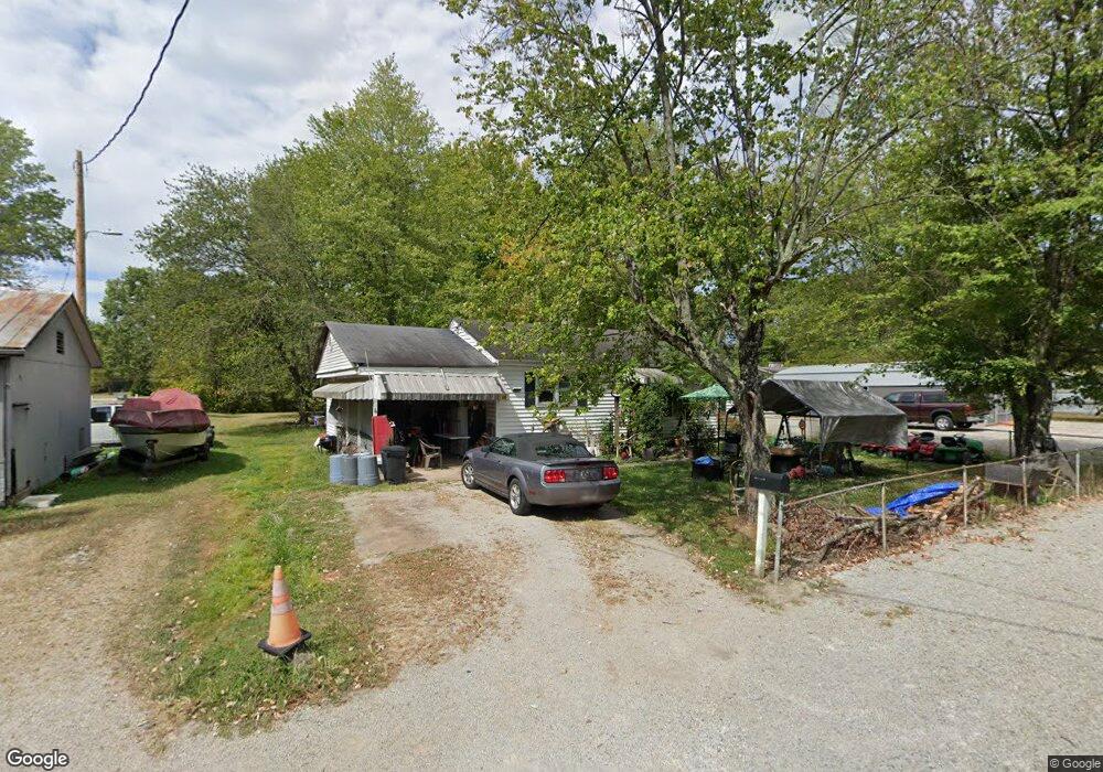
525 N Main St Georgetown, OH 45121
Estimated Value: $121,961 - $157,000
--
Bed
--
Bath
936
Sq Ft
$145/Sq Ft
Est. Value
About This Home
This home is located at 525 N Main St, Georgetown, OH 45121 and is currently estimated at $135,490, approximately $144 per square foot. 525 N Main St is a home located in Brown County with nearby schools including Georgetown Elementary School and Georgetown Jr/Sr High School.
Ownership History
Date
Name
Owned For
Owner Type
Purchase Details
Closed on
Mar 4, 1997
Sold by
Maxwell Robert L
Bought by
Hubbard Debra A
Current Estimated Value
Home Financials for this Owner
Home Financials are based on the most recent Mortgage that was taken out on this home.
Original Mortgage
$49,000
Outstanding Balance
$6,042
Interest Rate
7.93%
Mortgage Type
New Conventional
Estimated Equity
$129,448
Create a Home Valuation Report for This Property
The Home Valuation Report is an in-depth analysis detailing your home's value as well as a comparison with similar homes in the area
Home Values in the Area
Average Home Value in this Area
Purchase History
| Date | Buyer | Sale Price | Title Company |
|---|---|---|---|
| Hubbard Debra A | $49,000 | -- |
Source: Public Records
Mortgage History
| Date | Status | Borrower | Loan Amount |
|---|---|---|---|
| Open | Hubbard Debra A | $49,000 |
Source: Public Records
Tax History Compared to Growth
Tax History
| Year | Tax Paid | Tax Assessment Tax Assessment Total Assessment is a certain percentage of the fair market value that is determined by local assessors to be the total taxable value of land and additions on the property. | Land | Improvement |
|---|---|---|---|---|
| 2024 | $885 | $23,780 | $2,710 | $21,070 |
| 2023 | $842 | $17,790 | $2,300 | $15,490 |
| 2022 | $686 | $17,790 | $2,300 | $15,490 |
| 2021 | $680 | $17,790 | $2,300 | $15,490 |
| 2020 | $602 | $14,830 | $1,920 | $12,910 |
| 2019 | $597 | $14,830 | $1,920 | $12,910 |
| 2018 | $593 | $14,830 | $1,920 | $12,910 |
| 2017 | $481 | $14,270 | $2,110 | $12,160 |
| 2016 | $481 | $14,270 | $2,110 | $12,160 |
| 2015 | $501 | $14,270 | $2,110 | $12,160 |
| 2014 | $501 | $14,080 | $1,920 | $12,160 |
| 2013 | $499 | $14,080 | $1,920 | $12,160 |
Source: Public Records
Map
Nearby Homes
- 508 Mount Orab Pike
- 405 N Main St
- 331 Spring Grove Dr
- 874 Mount Orab Pike
- 427 Kenwood Ave
- 403 Elmwood Ct
- 401 Elmwood Ct
- 406 E North St
- 60 New St
- 102 Bill Dee Dr
- 104 Elm St
- 306 W 2nd St
- 402 S Pleasant St
- 505 S Water St
- 666 E State St
- 418 Home St
- 708 E State St
- 143 Hamer Rd
- 0 St Rt 221 & Footbridge Unit 1826509
- 25 Douglas Ln
- 525 N Main St
- 525 N Main St Unit B
- 523 N Main St
- 527 N Main St
- 603 N Main St
- 600 N Green St
- 521 N Main St
- 524 N Main St
- 509 N Main St
- 104 Illinois St Unit 106
- 519 Mount Orab Pike
- 119 W Missouri St
- 600 N Main St
- 607 N Main St
- 107 W Missouri St
- 506 N Green St
- 604 N Main St
- 523 Mount Orab Pike
- 229 W Missouri St
- 515 Mount Orab Pike