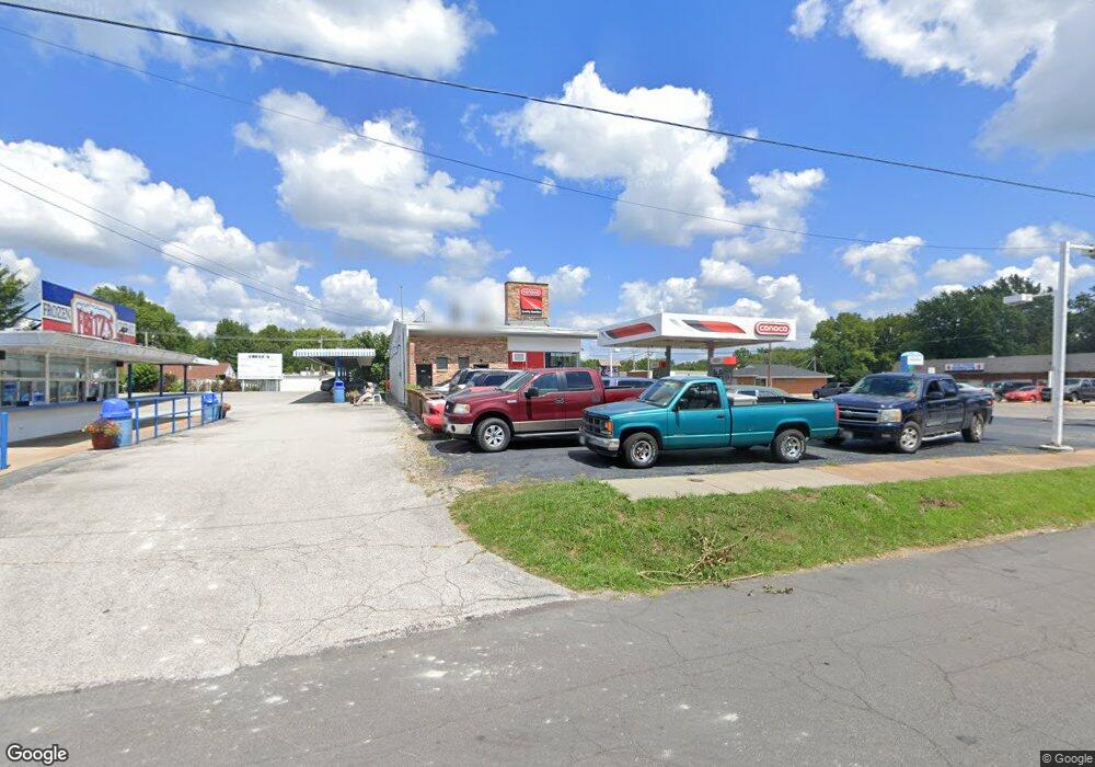
525 N New Florissant Rd Florissant, MO 63031
Estimated Value: $603,742
--
Bed
--
Bath
1,950
Sq Ft
$310/Sq Ft
Est. Value
About This Home
This home is located at 525 N New Florissant Rd, Florissant, MO 63031 and is currently estimated at $603,742, approximately $309 per square foot. 525 N New Florissant Rd is a home located in St. Louis County with nearby schools including Combs Elementary School, Cross Keys Middle School, and McCluer North High School.
Ownership History
Date
Name
Owned For
Owner Type
Purchase Details
Closed on
Jan 4, 2017
Sold by
Miller Mike
Bought by
Wilson William A
Current Estimated Value
Purchase Details
Closed on
Aug 9, 2013
Sold by
Sammer Inc
Bought by
Miller Mike
Home Financials for this Owner
Home Financials are based on the most recent Mortgage that was taken out on this home.
Original Mortgage
$30,000
Interest Rate
4.34%
Mortgage Type
Commercial
Purchase Details
Closed on
Feb 4, 2011
Sold by
Ej Land Ii Llc
Bought by
Sammer Inc
Home Financials for this Owner
Home Financials are based on the most recent Mortgage that was taken out on this home.
Original Mortgage
$292,500
Interest Rate
4.83%
Mortgage Type
Seller Take Back
Purchase Details
Closed on
Apr 26, 2010
Sold by
Sinclair Marketing Inc
Bought by
Ej Land Ii Llc
Create a Home Valuation Report for This Property
The Home Valuation Report is an in-depth analysis detailing your home's value as well as a comparison with similar homes in the area
Home Values in the Area
Average Home Value in this Area
Purchase History
| Date | Buyer | Sale Price | Title Company |
|---|---|---|---|
| Wilson William A | -- | None Available | |
| Miller Mike | $315,000 | First American Title Ncs Sai | |
| Sammer Inc | $325,000 | None Available | |
| Ej Land Ii Llc | $300,000 | First American Title Ins Co |
Source: Public Records
Mortgage History
| Date | Status | Borrower | Loan Amount |
|---|---|---|---|
| Previous Owner | Miller Mike | $30,000 | |
| Previous Owner | Sammer Inc | $292,500 |
Source: Public Records
Tax History Compared to Growth
Tax History
| Year | Tax Paid | Tax Assessment Tax Assessment Total Assessment is a certain percentage of the fair market value that is determined by local assessors to be the total taxable value of land and additions on the property. | Land | Improvement |
|---|---|---|---|---|
| 2025 | $13,702 | $146,430 | $35,330 | $111,100 |
| 2024 | $13,702 | $122,240 | $35,330 | $86,910 |
| 2023 | $13,582 | $122,240 | $35,330 | $86,910 |
| 2022 | $10,178 | $87,430 | $35,330 | $52,100 |
| 2021 | $9,959 | $87,430 | $35,330 | $52,100 |
| 2020 | $10,989 | $96,580 | $24,100 | $72,480 |
| 2019 | $10,655 | $96,580 | $24,100 | $72,480 |
| 2018 | $6,996 | $60,000 | $16,860 | $43,140 |
Source: Public Records
Map
Nearby Homes
- 629 Aubuchon St
- 1290 Saint Louis St
- 940 Harrison St
- 1023 Saint Denis St
- 790 Harrison St
- 1090 Saint Joseph St
- 175 Clark St
- 410 N Jefferson St
- 260 N Jefferson St
- 580 Saint Marie St
- 305 S Lafayette St
- 1148 Boone St
- 150 Saint Daniel Ln
- 1040 Bluefield Dr
- 540 S Jefferson St
- 1980 Parker Rd
- 1200 Bluefield Dr
- 505 Ridge Dr
- 675 Pimlico Dr
- 215 Derhake Rd
- 575 N New Florissant Rd
- 595 N New Florissant Rd
- 510 Brown St
- 1058 Saint Francois 1060 St
- 520 Brown St
- 512 Brown St
- 1050 Rue Saint Francois St
- 1050 Saint Francois St
- 1140 Saint Catherine St
- 460 N New Florissant Rd
- 1020 Rue Saint Francois
- 1130 Saint Francois St
- 1155 Saint Catherine St
- 909 Saint Catherine St
- 1150 Saint Catherine St
- 440 N New Florissant Rd
- 1136 Saint Francois St
- 990 Saint Francois St
- 996 Saint Catherine St
- 420 N New Florissant Rd