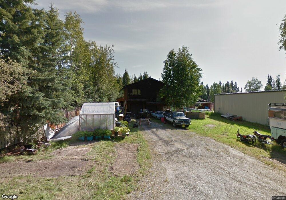
525 Nebula Way Fairbanks, AK 99709
College NeighborhoodEstimated Value: $123,000 - $280,000
--
Bed
2
Baths
2,376
Sq Ft
$90/Sq Ft
Est. Value
About This Home
This home is located at 525 Nebula Way, Fairbanks, AK 99709 and is currently estimated at $212,668, approximately $89 per square foot. 525 Nebula Way is a home located in Fairbanks North Star Borough with nearby schools including Woodriver Elementary School, Ryan Middle School, and West Valley High School.
Ownership History
Date
Name
Owned For
Owner Type
Purchase Details
Closed on
Apr 5, 2018
Sold by
Medford Beth A and Medford Scot E
Bought by
Wrate Terry A and Phillips Stacy D
Current Estimated Value
Home Financials for this Owner
Home Financials are based on the most recent Mortgage that was taken out on this home.
Original Mortgage
$3,150
Interest Rate
4.4%
Create a Home Valuation Report for This Property
The Home Valuation Report is an in-depth analysis detailing your home's value as well as a comparison with similar homes in the area
Home Values in the Area
Average Home Value in this Area
Purchase History
| Date | Buyer | Sale Price | Title Company |
|---|---|---|---|
| Wrate Terry A | -- | None Available |
Source: Public Records
Mortgage History
| Date | Status | Borrower | Loan Amount |
|---|---|---|---|
| Closed | Wrate Terry A | $3,150 |
Source: Public Records
Tax History Compared to Growth
Tax History
| Year | Tax Paid | Tax Assessment Tax Assessment Total Assessment is a certain percentage of the fair market value that is determined by local assessors to be the total taxable value of land and additions on the property. | Land | Improvement |
|---|---|---|---|---|
| 2025 | $3,260 | $235,091 | $21,165 | $213,926 |
| 2024 | $2,983 | $218,598 | $21,165 | $197,433 |
| 2023 | $3,022 | $218,908 | $21,165 | $197,743 |
| 2022 | $2,977 | $200,499 | $21,165 | $179,334 |
| 2021 | $2,700 | $174,830 | $21,165 | $153,665 |
| 2020 | $2,648 | $171,053 | $21,165 | $149,888 |
| 2019 | $2,628 | $171,295 | $21,165 | $150,130 |
| 2018 | $2,454 | $170,820 | $21,165 | $149,655 |
| 2017 | $2,663 | $166,737 | $21,165 | $145,572 |
| 2016 | $2,615 | $168,237 | $21,165 | $147,072 |
| 2015 | $3,731 | $216,574 | $21,165 | $195,409 |
| 2014 | $3,731 | $213,847 | $21,165 | $192,682 |
Source: Public Records
Map
Nearby Homes
- 103 Maple Dr
- 4951 Asteroid Ln
- 116 Hickory Dr
- 5000 Dartmouth Dr Unit 30
- 5004 Dartmouth Dr
- 150 Humboldt Way
- 228 Woodridge St Unit 2
- 4932 Drake St
- 112 Trinidad Dr
- 645 Audrey Dr
- 73 Pepperdine Dr
- 4625 Tolovana Dr
- 550 W Pointe Cir
- L10 Palo Verde Ave
- 480 Kentshire Dr
- L125 Costa Ave
- L124 Costa Ave
- L123 Costa Ave
- L122 Costa Ave
- L121 Costa Ave