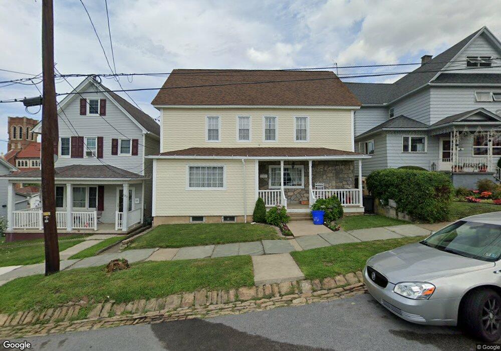
525 Palm St Unit 527 Scranton, PA 18505
South Side NeighborhoodEstimated Value: $200,000 - $322,000
--
Bed
--
Bath
--
Sq Ft
6,360
Sq Ft Lot
About This Home
This home is located at 525 Palm St Unit 527, Scranton, PA 18505 and is currently estimated at $266,677. 525 Palm St Unit 527 is a home located in Lackawanna County with nearby schools including Ratcliffe Elementary School, Jackson Davis Elementary School, and Adams Elementary School.
Ownership History
Date
Name
Owned For
Owner Type
Purchase Details
Closed on
Dec 22, 2020
Sold by
Rink Jon Paul and Rink Gina
Bought by
Rai Yam B and Rai Dhan R
Current Estimated Value
Home Financials for this Owner
Home Financials are based on the most recent Mortgage that was taken out on this home.
Original Mortgage
$161,405
Outstanding Balance
$143,699
Interest Rate
2.7%
Mortgage Type
New Conventional
Estimated Equity
$122,978
Purchase Details
Closed on
Sep 15, 1998
Bought by
Rink Jon Paul and Rink Gina
Create a Home Valuation Report for This Property
The Home Valuation Report is an in-depth analysis detailing your home's value as well as a comparison with similar homes in the area
Home Values in the Area
Average Home Value in this Area
Purchase History
| Date | Buyer | Sale Price | Title Company |
|---|---|---|---|
| Rai Yam B | $169,900 | None Available | |
| Rink Jon Paul | -- | -- |
Source: Public Records
Mortgage History
| Date | Status | Borrower | Loan Amount |
|---|---|---|---|
| Open | Rai Yam B | $161,405 |
Source: Public Records
Tax History Compared to Growth
Tax History
| Year | Tax Paid | Tax Assessment Tax Assessment Total Assessment is a certain percentage of the fair market value that is determined by local assessors to be the total taxable value of land and additions on the property. | Land | Improvement |
|---|---|---|---|---|
| 2025 | $3,219 | $10,000 | $1,600 | $8,400 |
| 2024 | $2,942 | $10,000 | $1,600 | $8,400 |
| 2023 | $2,942 | $10,000 | $1,600 | $8,400 |
| 2022 | $639 | $10,000 | $1,600 | $8,400 |
| 2021 | $2,877 | $10,000 | $1,600 | $8,400 |
| 2020 | $2,823 | $10,000 | $1,600 | $8,400 |
| 2019 | $2,656 | $10,000 | $1,600 | $8,400 |
| 2018 | $2,656 | $10,000 | $1,600 | $8,400 |
| 2017 | $2,609 | $10,000 | $1,600 | $8,400 |
| 2016 | $0 | $10,000 | $1,600 | $8,400 |
| 2015 | $1,630 | $10,000 | $1,600 | $8,400 |
| 2014 | -- | $10,000 | $1,600 | $8,400 |
Source: Public Records
Map
Nearby Homes
- 1429 Prospect Ave
- 626 Cherry St
- 719 Palm St
- 418 Pear St
- 1222 Prospect Ave
- 1215-1217 Pittston Ave
- 1830 Pittston Ave Unit REAR
- 1909 Prospect Ave
- 1829 S Webster Ave
- 613 E Locust St
- 1131 Pittston Ave
- 2129 Pittston Ave
- 623 E Elm St
- 635 E Elm St Unit Rear
- 819 Brook St
- 16 Cherry St
- 524 Gibbons St
- 1004 Prospect Ave
- 328 E Elm St
- 932 Prospect Ave
- 529 Palm St
- 523 Palm St
- 525 527 Palm St
- 531 Palm St
- 515 Palm St
- 513 Palm St
- 534 Fig St
- 534 Fig St Unit R
- 539 Palm St
- 516 Fig St
- 1528 Prospect Ave
- 536 Fig St Unit 2
- 536 Fig St Unit 2 Rear
- 536 Fig St Unit 1
- 536 Fig St
- 536 Fig St
- 1522 Prospect Ave Unit L29
- 1514 Prospect Ave
- 1512 Prospect Ave Unit 1514
- 536 Palm St