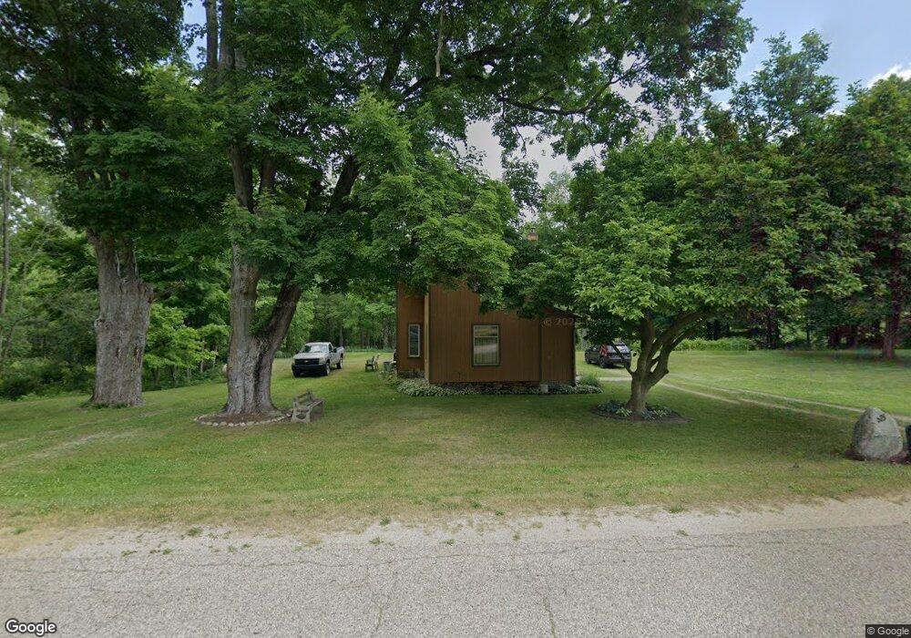
525 River Rd Otsego, MI 49078
Estimated Value: $285,000 - $371,000
4
Beds
1
Bath
1,200
Sq Ft
$272/Sq Ft
Est. Value
About This Home
This home is located at 525 River Rd, Otsego, MI 49078 and is currently estimated at $326,905, approximately $272 per square foot. 525 River Rd is a home located in Allegan County with nearby schools including Otsego High School, Otsego Christian Academy, and St. Margaret School.
Ownership History
Date
Name
Owned For
Owner Type
Purchase Details
Closed on
Jun 6, 2023
Sold by
Klok Henry J
Bought by
Klok Henry J
Current Estimated Value
Purchase Details
Closed on
Aug 1, 1989
Sold by
Worden Richard A and Worden Caroline
Bought by
"Klok
Purchase Details
Closed on
Jul 1, 1989
Sold by
Worden Richard A and Worden Caroline
Bought by
Michael and Nola Rankin
Purchase Details
Closed on
Apr 1, 1989
Sold by
Worden Richard A and Worden Wf
Bought by
"Klok
Create a Home Valuation Report for This Property
The Home Valuation Report is an in-depth analysis detailing your home's value as well as a comparison with similar homes in the area
Home Values in the Area
Average Home Value in this Area
Purchase History
| Date | Buyer | Sale Price | Title Company |
|---|---|---|---|
| Klok Henry J | -- | None Listed On Document | |
| "Klok | -- | -- | |
| Michael | $8,000 | -- | |
| "Klok | $21,000 | -- |
Source: Public Records
Tax History Compared to Growth
Tax History
| Year | Tax Paid | Tax Assessment Tax Assessment Total Assessment is a certain percentage of the fair market value that is determined by local assessors to be the total taxable value of land and additions on the property. | Land | Improvement |
|---|---|---|---|---|
| 2025 | $1,289 | $131,900 | $27,500 | $104,400 |
| 2024 | $1,092 | $115,000 | $24,500 | $90,500 |
| 2023 | $1,111 | $99,900 | $23,900 | $76,000 |
| 2022 | $1,092 | $91,100 | $22,500 | $68,600 |
| 2021 | $1,026 | $89,100 | $23,500 | $65,600 |
| 2020 | $1,021 | $85,800 | $24,100 | $61,700 |
| 2019 | $981 | $74,300 | $18,700 | $55,600 |
| 2018 | $960 | $59,100 | $21,500 | $37,600 |
| 2017 | $0 | $49,600 | $12,200 | $37,400 |
| 2016 | $0 | $43,900 | $12,200 | $31,700 |
| 2015 | -- | $43,900 | $12,200 | $31,700 |
| 2014 | $731 | $41,500 | $11,700 | $29,800 |
| 2013 | $731 | $36,600 | $14,400 | $22,200 |
Source: Public Records
Map
Nearby Homes
- 552 19th St
- 589 Lincoln Rd
- 2108 Fox Mountain Dr
- 602 Lincoln Rd
- 722 River Rd
- 2331 105th Ave
- 624 Nicholson St
- 0 Briarwood St Unit 25002251
- 365 W Orleans St
- 346 W Orleans St
- 849 18th St
- 1711 108th Ave
- 2116 Westfield Ln
- 233 W Hammond St
- 1651 Aspen Trail
- 902 Double Eagle Dr
- 908 Double Eagle Dr
- 1643 Aspen Trail
- 1647 Aspen Trail
- 1635 Aspen Trail