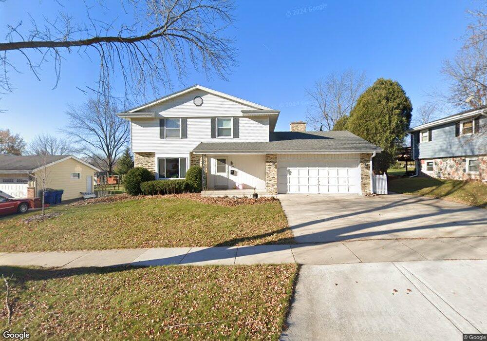
525 S Summit Dr Port Washington, WI 53074
Estimated Value: $383,000 - $438,935
--
Bed
--
Bath
--
Sq Ft
0.27
Acres
About This Home
This home is located at 525 S Summit Dr, Port Washington, WI 53074 and is currently estimated at $413,734. 525 S Summit Dr is a home located in Ozaukee County with nearby schools including Dunwiddie Elementary School, Thomas Jefferson Middle School, and Port Washington High School.
Ownership History
Date
Name
Owned For
Owner Type
Purchase Details
Closed on
Jan 3, 2024
Sold by
Larson David L
Bought by
Maynor Dwight
Current Estimated Value
Purchase Details
Closed on
Apr 30, 2019
Sold by
Stewart Jawan J and Stewart Melissa L
Bought by
Entinger Timothy J and Entinger Katie M
Home Financials for this Owner
Home Financials are based on the most recent Mortgage that was taken out on this home.
Original Mortgage
$209,600
Interest Rate
4%
Mortgage Type
New Conventional
Purchase Details
Closed on
Feb 7, 2013
Sold by
Sikowski Todd J and Sikowski Angela M
Bought by
Stewart Jawan J and Stewart Melissa L
Home Financials for this Owner
Home Financials are based on the most recent Mortgage that was taken out on this home.
Original Mortgage
$200,700
Interest Rate
3.25%
Mortgage Type
FHA
Create a Home Valuation Report for This Property
The Home Valuation Report is an in-depth analysis detailing your home's value as well as a comparison with similar homes in the area
Home Values in the Area
Average Home Value in this Area
Purchase History
| Date | Buyer | Sale Price | Title Company |
|---|---|---|---|
| Maynor Dwight | $318,500 | Caliber Title | |
| Entinger Timothy J | $262,000 | None Available | |
| Stewart Jawan J | $208,000 | None Available |
Source: Public Records
Mortgage History
| Date | Status | Borrower | Loan Amount |
|---|---|---|---|
| Previous Owner | Entinger Timothy J | $209,600 | |
| Previous Owner | Stewart Jawan J | $200,700 |
Source: Public Records
Tax History Compared to Growth
Tax History
| Year | Tax Paid | Tax Assessment Tax Assessment Total Assessment is a certain percentage of the fair market value that is determined by local assessors to be the total taxable value of land and additions on the property. | Land | Improvement |
|---|---|---|---|---|
| 2024 | $4,418 | $279,900 | $76,100 | $203,800 |
| 2023 | $3,942 | $279,900 | $76,100 | $203,800 |
| 2022 | $3,995 | $279,900 | $76,100 | $203,800 |
| 2021 | $3,926 | $279,900 | $76,100 | $203,800 |
| 2020 | $3,610 | $198,300 | $64,400 | $133,900 |
| 2019 | $3,458 | $187,000 | $64,400 | $122,600 |
| 2018 | $3,361 | $187,000 | $64,400 | $122,600 |
| 2017 | $3,320 | $187,000 | $64,400 | $122,600 |
| 2016 | $3,332 | $187,000 | $64,400 | $122,600 |
| 2015 | $3,246 | $187,000 | $64,400 | $122,600 |
| 2014 | $3,053 | $187,000 | $64,400 | $122,600 |
| 2013 | $3,216 | $185,100 | $64,400 | $120,700 |
Source: Public Records
Map
Nearby Homes
- 125 S Summit Dr
- 723 Willow Ct
- 924 Westport Dr
- 1219 W Grand Ave
- 1000 S Spring St
- 905 W Larabee St
- 675 Amber Ln
- 218 N Maple St
- 732 Maritime Dr
- 730 Maritime Dr
- 716 Maritime Dr
- 717 Maritime Dr
- 733 Maritime Dr
- 715 Maritime Dr
- 736 Maritime Dr
- 480 W Grand Ave
- 1799 Sweetwater Blvd
- 360 Sweetwater Blvd
- 348 Sweetwater Blvd
- 336 Sweetwater Blvd
- 517 S Summit Dr
- 601 S Summit Dr
- 520 S Summit Dr
- 509 S Summit Dr
- 530 Westport Dr
- 510 S Summit Dr
- 520 Westport Dr
- 609 S Summit Dr
- 600 Westport Dr
- 510 Westport Dr
- 501 S Summit Dr
- 500 S Summit Dr
- 610 Westport Dr
- 617 S Summit Dr
- 500 Westport Dr
- 525 S Tower Dr
- 509 S Tower Dr
- 413 S Summit Dr
- 517 S Tower Dr
- 601 Westport Dr