525 Sampson Twin Lake, MI 49457
Estimated Value: $260,000 - $291,000
3
Beds
2
Baths
1,000
Sq Ft
$281/Sq Ft
Est. Value
About This Home
This home is located at 525 Sampson, Twin Lake, MI 49457 and is currently estimated at $281,257, approximately $281 per square foot. 525 Sampson is a home located in Muskegon County with nearby schools including Shoreline Elementary School, Ealy Elementary School, and Whitehall Middle School.
Ownership History
Date
Name
Owned For
Owner Type
Purchase Details
Closed on
Feb 22, 2016
Sold by
Menzock Robert J and Menzock Rachel K
Bought by
Stockwell Matthew
Current Estimated Value
Home Financials for this Owner
Home Financials are based on the most recent Mortgage that was taken out on this home.
Original Mortgage
$127,546
Outstanding Balance
$101,413
Interest Rate
3.87%
Mortgage Type
FHA
Estimated Equity
$179,844
Purchase Details
Closed on
Jul 22, 2005
Sold by
Homeland Developers Inc
Bought by
Menzock Robert J and Menzock Rachel K
Home Financials for this Owner
Home Financials are based on the most recent Mortgage that was taken out on this home.
Original Mortgage
$131,850
Interest Rate
5.71%
Mortgage Type
FHA
Create a Home Valuation Report for This Property
The Home Valuation Report is an in-depth analysis detailing your home's value as well as a comparison with similar homes in the area
Home Values in the Area
Average Home Value in this Area
Purchase History
| Date | Buyer | Sale Price | Title Company |
|---|---|---|---|
| Stockwell Matthew | $129,900 | Chicago Title | |
| Menzock Robert J | $134,000 | Woodland Title |
Source: Public Records
Mortgage History
| Date | Status | Borrower | Loan Amount |
|---|---|---|---|
| Open | Stockwell Matthew | $127,546 | |
| Previous Owner | Menzock Robert J | $131,850 |
Source: Public Records
Tax History Compared to Growth
Tax History
| Year | Tax Paid | Tax Assessment Tax Assessment Total Assessment is a certain percentage of the fair market value that is determined by local assessors to be the total taxable value of land and additions on the property. | Land | Improvement |
|---|---|---|---|---|
| 2025 | $2,215 | $123,200 | $0 | $0 |
| 2024 | $873 | $120,900 | $0 | $0 |
| 2023 | $835 | $105,700 | $0 | $0 |
| 2022 | $2,106 | $85,500 | $0 | $0 |
| 2021 | $2,007 | $75,800 | $0 | $0 |
| 2020 | $1,987 | $72,600 | $0 | $0 |
| 2019 | $1,948 | $67,100 | $0 | $0 |
| 2018 | $1,904 | $66,200 | $0 | $0 |
| 2017 | $1,867 | $59,500 | $0 | $0 |
| 2016 | $557 | $53,200 | $0 | $0 |
| 2015 | -- | $49,200 | $0 | $0 |
| 2014 | -- | $49,900 | $0 | $0 |
| 2013 | -- | $46,400 | $0 | $0 |
Source: Public Records
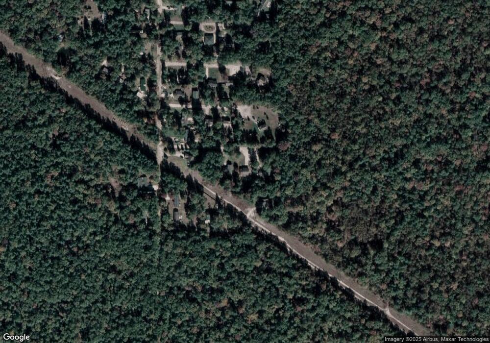
Map
Nearby Homes
- 539 Bristol St
- 5943 Automobile Rd
- 6308 Automobile Rd
- 0 W Cedar Rd
- 687 W Cherry Rd
- 6316 Auburn Blvd
- 651 W Hawthorne Rd
- 39 Linden St
- 6472 Beverlyway Dr
- 554 W Church Rd
- 356 W Ashland Rd
- 5770 Russell Rd
- 6120 Automobile Rd
- 266 E Church Rd
- 385 W Michigan Rd
- 167 E Lincoln Rd
- 183 Lake Court Rd
- 7016 Hyde Park Rd
- 362 Louisa Rd
- 4615 Whitehall Rd
- 525 Sampson
- 539 Sampson
- 509 Sampson
- 0 Sampson St
- 510 W Belfast
- 517 Bristol St
- 509 W Belfast
- 556 W Belfast
- 5860 Automobile Rd
- 555 Bristol St
- 5832 Automobile Rd
- 5890 Automobile Rd
- 0 Bristol St
- 5910 Automobile Rd
- 517 Bellevue St
- 5926 Automobile Rd
- 5859 Automobile Rd
- 5793 Automobile Rd
- 5940 Automobile Rd
- 517 W Sycamore St