525 Shadowbrook Trail Mullica Hill, NJ 08062
Mantua Township NeighborhoodEstimated Value: $880,000 - $1,202,000
--
Bed
--
Bath
3,758
Sq Ft
$287/Sq Ft
Est. Value
About This Home
This home is located at 525 Shadowbrook Trail, Mullica Hill, NJ 08062 and is currently estimated at $1,078,257, approximately $286 per square foot. 525 Shadowbrook Trail is a home located in Gloucester County with nearby schools including Centre City School, Clearview Regional Middle School, and Clearview Regional High School.
Ownership History
Date
Name
Owned For
Owner Type
Purchase Details
Closed on
Dec 30, 1998
Sold by
T & C Development Corp Inc
Bought by
York Joseph M and York Florence E
Current Estimated Value
Home Financials for this Owner
Home Financials are based on the most recent Mortgage that was taken out on this home.
Original Mortgage
$30,000
Outstanding Balance
$6,982
Interest Rate
6.8%
Estimated Equity
$1,071,275
Create a Home Valuation Report for This Property
The Home Valuation Report is an in-depth analysis detailing your home's value as well as a comparison with similar homes in the area
Home Values in the Area
Average Home Value in this Area
Purchase History
| Date | Buyer | Sale Price | Title Company |
|---|---|---|---|
| York Joseph M | $150,000 | -- |
Source: Public Records
Mortgage History
| Date | Status | Borrower | Loan Amount |
|---|---|---|---|
| Open | York Joseph M | $30,000 |
Source: Public Records
Tax History Compared to Growth
Tax History
| Year | Tax Paid | Tax Assessment Tax Assessment Total Assessment is a certain percentage of the fair market value that is determined by local assessors to be the total taxable value of land and additions on the property. | Land | Improvement |
|---|---|---|---|---|
| 2025 | $21,558 | $837,200 | $166,900 | $670,300 |
| 2024 | $21,332 | $837,200 | $166,900 | $670,300 |
| 2023 | $21,332 | $837,200 | $166,900 | $670,300 |
| 2022 | $23,353 | $667,600 | $161,400 | $506,200 |
| 2021 | $23,526 | $667,600 | $161,400 | $506,200 |
| 2020 | $23,339 | $667,600 | $161,400 | $506,200 |
| 2019 | $22,945 | $667,600 | $161,400 | $506,200 |
| 2018 | $22,618 | $667,600 | $161,400 | $506,200 |
| 2017 | $22,278 | $667,600 | $161,400 | $506,200 |
| 2016 | $22,024 | $667,600 | $161,400 | $506,200 |
| 2015 | $21,483 | $667,600 | $161,400 | $506,200 |
| 2014 | $20,762 | $667,600 | $161,400 | $506,200 |
Source: Public Records
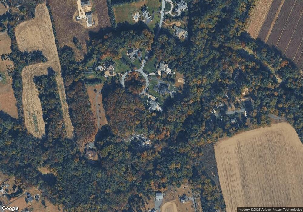
Map
Nearby Homes
- 0 Jackson Rd
- 691 Jackson Rd
- 326 Stonehouse Ln
- 976 Bridgeton Pike
- 270 Jefferson Rd
- 205 Sherwin Rd
- L13 N Bridgeton Pike
- 0 Bridgeton Pike Unit NJGL2059468
- 139 Sherwin Rd
- 211 Emerald Ln
- 380 Heritage Rd
- 127 Karen Ct
- B 45, L 10.02 Wolfert Station Rd
- 22 Hart Ln
- 290 Montgomery Dr
- 101 Griffin Rd
- 549 Clems Run
- L22 Swedesboro Rd
- 333 Jackson Rd
- 284 Columbus Dr
- 523 Shadowbrook Trail
- 521 Shadowbrook Trail
- 527 Shadowbrook Trail
- 157 Glover Rd
- 531 Shadowbrook Trail
- 172 Glover Rd
- 155 Glover Rd
- 529 Shadowbrook Trail
- 519 Shadowbrook Trail
- 151 Glover Rd
- 168 Duffield Rd
- 164 Duffield Rd
- 535 Shadowbrook Trail
- 490 Jefferson Rd
- 144 Glover Rd
- 480 Jefferson Rd
- 145 Glover Rd
- 517 Shadowbrook Trail
- 160 Weatherby Rd
- 141 Glover Rd