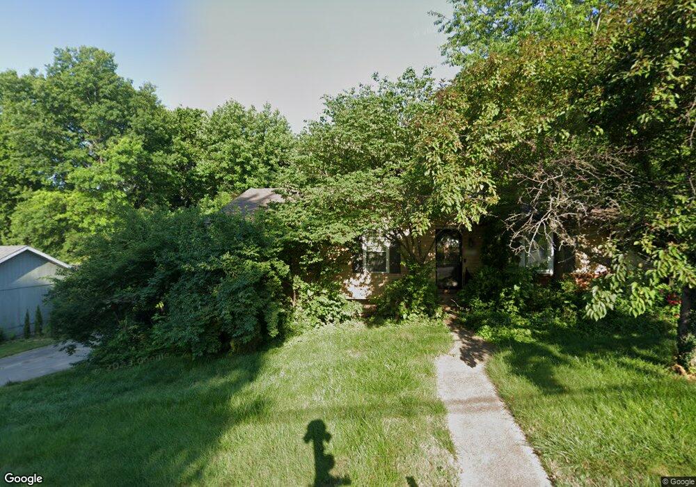
525 Western Ave Collinsville, IL 62234
Estimated Value: $186,000 - $282,000
--
Bed
--
Bath
1,196
Sq Ft
$210/Sq Ft
Est. Value
About This Home
This home is located at 525 Western Ave, Collinsville, IL 62234 and is currently estimated at $251,666, approximately $210 per square foot. 525 Western Ave is a home located in St. Clair County with nearby schools including Jefferson Elementary School, Dorris Intermediate School, and Collinsville Middle School.
Ownership History
Date
Name
Owned For
Owner Type
Purchase Details
Closed on
Sep 28, 2007
Sold by
Warchol Timothy N and Warchol Susan M
Bought by
Sitts Margaret A
Current Estimated Value
Home Financials for this Owner
Home Financials are based on the most recent Mortgage that was taken out on this home.
Original Mortgage
$132,000
Outstanding Balance
$83,869
Interest Rate
6.55%
Mortgage Type
Purchase Money Mortgage
Estimated Equity
$167,797
Create a Home Valuation Report for This Property
The Home Valuation Report is an in-depth analysis detailing your home's value as well as a comparison with similar homes in the area
Home Values in the Area
Average Home Value in this Area
Purchase History
| Date | Buyer | Sale Price | Title Company |
|---|---|---|---|
| Sitts Margaret A | $152,000 | Abstracts & Titles Inc |
Source: Public Records
Mortgage History
| Date | Status | Borrower | Loan Amount |
|---|---|---|---|
| Open | Sitts Margaret A | $132,000 |
Source: Public Records
Tax History Compared to Growth
Tax History
| Year | Tax Paid | Tax Assessment Tax Assessment Total Assessment is a certain percentage of the fair market value that is determined by local assessors to be the total taxable value of land and additions on the property. | Land | Improvement |
|---|---|---|---|---|
| 2024 | $3,849 | $68,460 | $16,481 | $51,979 |
| 2023 | $3,465 | $60,573 | $14,582 | $45,991 |
| 2022 | $3,818 | $54,884 | $14,293 | $40,591 |
| 2021 | $3,757 | $52,092 | $13,566 | $38,526 |
| 2020 | $3,696 | $49,344 | $12,850 | $36,494 |
| 2019 | $3,610 | $49,344 | $12,850 | $36,494 |
| 2018 | $3,434 | $46,715 | $12,722 | $33,993 |
| 2017 | $3,470 | $44,820 | $12,206 | $32,614 |
| 2016 | $3,533 | $43,808 | $11,930 | $31,878 |
| 2014 | $2,959 | $39,331 | $8,130 | $31,201 |
| 2013 | $3,101 | $40,056 | $8,280 | $31,776 |
Source: Public Records
Map
Nearby Homes
- 116 Moffett Ave
- 114 Moffett Ave Unit 116
- 710 Saint Louis Rd
- 151 Helen Place
- 202 Keeneland Ct
- 128 Courtland Place
- 11 Davis Place
- Lot 20 Jefferson Ave
- Lot 36 Jefferson Ave
- Lot 38 Jefferson Ave
- Lot 37 Jefferson Ave
- 208 Coral Dr
- Lot 32 Jefferson Ave
- 1109 Saint Clair Ave
- 820 Bond Ave
- 746 Maple St
- 714 Lillian St
- 625 Greenwood Place
- 126 Collinsville Ave
- 115 Southwood Trace
- 523 Western Ave
- 527 Western Ave
- 610 Western Ave
- 521 Western Ave
- 580 Western Ave
- 529 Western Ave
- 630 Western Ave
- 550 Western Ave
- 519 Western Ave
- 531 Western Ave
- 650 Western Ave
- 146 Helen Place
- 150 Helen Place
- 140 Helen Place
- 137 Moffett Ave
- 138 Helen Place
- 135 Moffett Ave
- 152 Helen Place
- 133 Moffett Ave
- 520 Western Ave