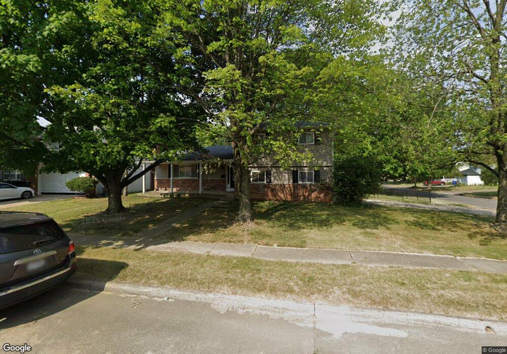
5250 Butternut Ct W Columbus, OH 43229
Forest Park East NeighborhoodEstimated Value: $295,834 - $319,000
3
Beds
3
Baths
1,762
Sq Ft
$173/Sq Ft
Est. Value
About This Home
This home is located at 5250 Butternut Ct W, Columbus, OH 43229 and is currently estimated at $305,459, approximately $173 per square foot. 5250 Butternut Ct W is a home located in Franklin County with nearby schools including Parkmoor Elementary School, Woodward Park Middle School, and Northland High School.
Ownership History
Date
Name
Owned For
Owner Type
Purchase Details
Closed on
Jan 20, 1999
Sold by
Moorehead Shawn C and Moorehead Lisa S
Bought by
Anderson Joseph M and Anderson Kimberly A
Current Estimated Value
Home Financials for this Owner
Home Financials are based on the most recent Mortgage that was taken out on this home.
Original Mortgage
$116,640
Outstanding Balance
$27,054
Interest Rate
6.76%
Mortgage Type
FHA
Estimated Equity
$278,405
Purchase Details
Closed on
Dec 27, 1990
Bought by
Moorehead Shawn C
Purchase Details
Closed on
Sep 25, 1990
Create a Home Valuation Report for This Property
The Home Valuation Report is an in-depth analysis detailing your home's value as well as a comparison with similar homes in the area
Home Values in the Area
Average Home Value in this Area
Purchase History
| Date | Buyer | Sale Price | Title Company |
|---|---|---|---|
| Anderson Joseph M | $116,700 | Chicago Title | |
| Moorehead Shawn C | -- | -- | |
| -- | -- | -- |
Source: Public Records
Mortgage History
| Date | Status | Borrower | Loan Amount |
|---|---|---|---|
| Open | Anderson Joseph M | $116,640 |
Source: Public Records
Tax History Compared to Growth
Tax History
| Year | Tax Paid | Tax Assessment Tax Assessment Total Assessment is a certain percentage of the fair market value that is determined by local assessors to be the total taxable value of land and additions on the property. | Land | Improvement |
|---|---|---|---|---|
| 2024 | $3,820 | $85,120 | $23,590 | $61,530 |
| 2023 | $3,771 | $85,120 | $23,590 | $61,530 |
| 2022 | $3,342 | $64,440 | $17,360 | $47,080 |
| 2021 | $3,348 | $64,440 | $17,360 | $47,080 |
| 2020 | $3,352 | $64,440 | $17,360 | $47,080 |
| 2019 | $2,860 | $47,150 | $12,850 | $34,300 |
| 2018 | $2,664 | $47,150 | $12,850 | $34,300 |
| 2017 | $2,859 | $47,150 | $12,850 | $34,300 |
| 2016 | $2,725 | $41,130 | $10,260 | $30,870 |
| 2015 | $2,473 | $41,130 | $10,260 | $30,870 |
| 2014 | $2,479 | $41,130 | $10,260 | $30,870 |
| 2013 | $1,340 | $45,080 | $10,780 | $34,300 |
Source: Public Records
Map
Nearby Homes
- 5231 Arrowood Ct
- 1704 Riverbirch Dr
- 5124 Northcliff Loop W
- 5485 Tamarack Blvd
- 1493 Boxwood Dr
- 1722 Blue Ash Place
- 5022 Sienna Ln
- 5204 Honeytree Loop W
- 1914 Walden Dr
- 2058 Northcliff Dr
- 5056 Northtowne Blvd Unit 5054
- 1687 Brookfield Square S
- 1492 Cottonwood Dr
- 1881 Brimfield Rd
- 4923 Karl Rd Unit 4925
- 2158 Kilbourne Ave
- 1485 Norma Rd
- 2033 Brittany Rd
- 1385 Thurell Rd
- 1752 Pine Tree St S Unit H
- 5258 Butternut Ct W
- 1766 Penworth Dr
- 5266 Butternut Ct W
- 1753 Penworth Dr
- 1761 Penworth Dr
- 5263 Butternut Ct E
- 1745 Penworth Dr
- 1728 Penworth Dr
- 1769 Penworth Dr
- 5257 Butternut Ct W
- 5274 Butternut Ct W
- 5271 Butternut Ct E
- 1737 Penworth Dr
- 5265 Butternut Ct W
- 1777 Penworth Dr
- 5283 Butternut Ct E
- 1729 Penworth Dr
- 5273 Butternut Ct W
- 1785 Penworth Dr
- 5242 Blue Ash Rd