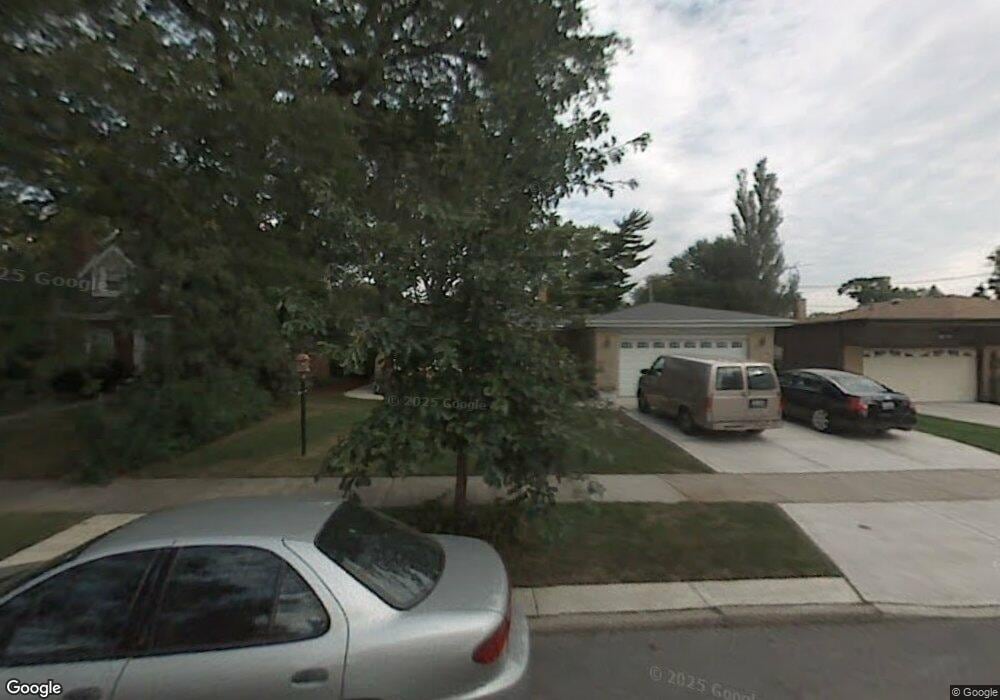
5250 Enfield Ave Skokie, IL 60077
Southwest Skokie NeighborhoodEstimated Value: $482,306 - $523,000
4
Beds
2
Baths
1,512
Sq Ft
$336/Sq Ft
Est. Value
About This Home
This home is located at 5250 Enfield Ave, Skokie, IL 60077 and is currently estimated at $508,077, approximately $336 per square foot. 5250 Enfield Ave is a home located in Cook County with nearby schools including Old Orchard Jr High School, Jane Stenson School, and Niles North High School.
Ownership History
Date
Name
Owned For
Owner Type
Purchase Details
Closed on
Aug 17, 2001
Sold by
Lasalle Bank National Assn
Bought by
Puetz Daniel E and Puetz Helen E
Current Estimated Value
Home Financials for this Owner
Home Financials are based on the most recent Mortgage that was taken out on this home.
Original Mortgage
$166,000
Outstanding Balance
$64,567
Interest Rate
7.11%
Estimated Equity
$443,510
Create a Home Valuation Report for This Property
The Home Valuation Report is an in-depth analysis detailing your home's value as well as a comparison with similar homes in the area
Home Values in the Area
Average Home Value in this Area
Purchase History
| Date | Buyer | Sale Price | Title Company |
|---|---|---|---|
| Puetz Daniel E | $319,000 | -- |
Source: Public Records
Mortgage History
| Date | Status | Borrower | Loan Amount |
|---|---|---|---|
| Open | Puetz Daniel E | $166,000 |
Source: Public Records
Tax History Compared to Growth
Tax History
| Year | Tax Paid | Tax Assessment Tax Assessment Total Assessment is a certain percentage of the fair market value that is determined by local assessors to be the total taxable value of land and additions on the property. | Land | Improvement |
|---|---|---|---|---|
| 2024 | $4,750 | $17,991 | $4,875 | $13,116 |
| 2023 | $4,821 | $20,668 | $4,875 | $15,793 |
| 2022 | $4,821 | $21,538 | $4,875 | $16,663 |
| 2021 | $3,562 | $14,680 | $3,000 | $11,680 |
| 2020 | $3,558 | $14,680 | $3,000 | $11,680 |
| 2019 | $3,641 | $16,495 | $3,000 | $13,495 |
| 2018 | $3,905 | $16,212 | $2,718 | $13,494 |
| 2017 | $3,941 | $16,212 | $2,718 | $13,494 |
| 2016 | $3,882 | $16,212 | $2,718 | $13,494 |
| 2015 | $3,760 | $14,783 | $2,343 | $12,440 |
| 2014 | $3,680 | $14,783 | $2,343 | $12,440 |
| 2013 | $3,664 | $14,783 | $2,343 | $12,440 |
Source: Public Records
Map
Nearby Homes
- 5247 Suffield Ct
- 5317 Suffield Ct
- 5352 Greenwood St
- 5128 Suffield Ct
- 5309 Crain St
- 5346 Suffield Terrace
- 5459 Suffield Ct
- 8655 Harms Rd
- 8605 Laramie Ave
- 5536 Greenwood St
- 5109 Greenleaf St
- 8836 Bronx Ave
- 5449 Arcadia St
- 8708 Central Ave
- 9011 Bronx Ave
- 8940 Lamon Ave
- 8541 Lotus Ave Unit 914
- 8464 Gross Point Rd
- 8461 Gross Point Rd
- 4901 Carol Unit F St
- 5250 Enfield Ave
- 5244 Enfield Ave
- 5244 Enfield Ave
- 5254 Enfield Ave
- 5254 Enfield Ave
- 5238 Enfield Ave
- 5234 Enfield Ave
- 5234 Enfield Ave
- 5243 Greenwood St
- 8855 Lockwood Ave
- 8855 Lockwood Ave
- 5239 Greenwood St
- 5247 Enfield Ave
- 5247 Enfield Ave
- 5253 Enfield Ave
- 5233 Greenwood St
- 5239 Enfield Ave
- 8832 Lockwood Ave
- 5259 Enfield Ave
- 5222 Enfield Ave