52507 S Point Dr Mattawan, MI 49071
Estimated Value: $178,000 - $192,000
--
Bed
--
Bath
1,782
Sq Ft
$103/Sq Ft
Est. Value
About This Home
This home is located at 52507 S Point Dr, Mattawan, MI 49071 and is currently estimated at $183,300, approximately $102 per square foot. 52507 S Point Dr is a home located in Van Buren County with nearby schools including Mattawan Early Elementary School, Mattawan Early Childhood Education Center, and Mattawan Later Elementary School.
Ownership History
Date
Name
Owned For
Owner Type
Purchase Details
Closed on
Jul 3, 2024
Sold by
Bemer Margot L
Bought by
Bemer Margot L and Rosales Diana
Current Estimated Value
Purchase Details
Closed on
Mar 23, 2018
Sold by
Bemer Margot L
Bought by
Bemer Margot L and The Margot L Bemer Revocable Trust
Purchase Details
Closed on
Apr 7, 2017
Sold by
Scott Julie Ann
Bought by
Bemer Margot
Purchase Details
Closed on
Sep 1, 2000
Sold by
Bemer Margot
Bought by
Bemer Margot Lee
Create a Home Valuation Report for This Property
The Home Valuation Report is an in-depth analysis detailing your home's value as well as a comparison with similar homes in the area
Home Values in the Area
Average Home Value in this Area
Purchase History
| Date | Buyer | Sale Price | Title Company |
|---|---|---|---|
| Bemer Margot L | $3,488 | None Listed On Document | |
| Bemer Margot L | -- | None Listed On Document | |
| Bemer Margot L | -- | None Available | |
| Bemer Margot | -- | None Available | |
| Bemer Margot Lee | -- | -- |
Source: Public Records
Tax History Compared to Growth
Tax History
| Year | Tax Paid | Tax Assessment Tax Assessment Total Assessment is a certain percentage of the fair market value that is determined by local assessors to be the total taxable value of land and additions on the property. | Land | Improvement |
|---|---|---|---|---|
| 2025 | $842 | $66,300 | $0 | $0 |
| 2024 | $842 | $62,100 | $0 | $0 |
| 2023 | $802 | $59,100 | $0 | $0 |
| 2022 | $2,444 | $52,600 | $0 | $0 |
| 2021 | $2,362 | $43,500 | $10,000 | $33,500 |
| 2020 | $2,311 | $44,400 | $10,000 | $34,400 |
| 2019 | $2,127 | $42,500 | $42,500 | $0 |
| 2018 | $1,418 | $35,200 | $35,200 | $0 |
| 2017 | $1,381 | $36,400 | $0 | $0 |
| 2016 | $1,481 | $39,900 | $0 | $0 |
| 2015 | $1,073 | $39,900 | $0 | $0 |
| 2014 | $1,122 | $39,600 | $0 | $0 |
| 2013 | -- | $35,200 | $35,200 | $0 |
Source: Public Records
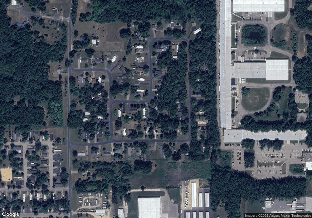
Map
Nearby Homes
- 51650 County Road 652
- 25614 Marshall Dr
- 25851 Pleasant Dr
- 63908 County Rd
- 24537 Brownstone Blvd
- 50247 County Road 652
- 49801 Chase Way
- 10599 Mystic Heights Trail
- 23753 Red Arrow Hwy
- 23589 Laurel Glen Ave
- 56550 Village Center Cir Unit 20
- 23440 W McGillen Ave Unit Entire Parcel
- 23440 W McGillen Ave Unit Parcel B
- 47805 Silver Oaks W
- 23901 Village Center Cir
- 48799 Wentworth Dr
- 23875 Village Center Cir
- 48709 Silver Oaks Blvd
- 57380 S Main St
- 22969 W McGillen Ave
- 52517 S Point Dr
- 52497 S Point Dr
- 52504 N Point Dr
- 52514 N Point Dr
- 24944 E Point Dr
- 24934 E Point Dr
- 52494 N Point Dr
- 24954 E Point Dr
- 52487 S Point Dr
- 52496 S Point Dr
- 52527 S Point Dr
- 52484 N Point Dr
- 24964 E Point Dr
- 52486 S Point Dr
- 52486 S Point Dr
- 52477 S Point Dr
- 52505 N Point Dr
- 52537 S Point Dr
- 52525 N Point Dr
- 52474 N Point Dr