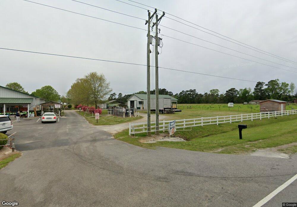
5251 W Highway 501 Conway, SC 29526
Estimated Value: $388,000 - $417,610
1
Bed
1
Bath
2,460
Sq Ft
$164/Sq Ft
Est. Value
About This Home
This home is located at 5251 W Highway 501, Conway, SC 29526 and is currently estimated at $403,870, approximately $164 per square foot. 5251 W Highway 501 is a home with nearby schools including Aynor Elementary School, Aynor Middle School, and Aynor High School.
Ownership History
Date
Name
Owned For
Owner Type
Purchase Details
Closed on
Mar 26, 2012
Sold by
Hardwick Mary R
Bought by
Hardee Jason W
Current Estimated Value
Purchase Details
Closed on
Jun 25, 2008
Sold by
Hardee Jason W
Bought by
Hardee Michelle
Home Financials for this Owner
Home Financials are based on the most recent Mortgage that was taken out on this home.
Original Mortgage
$181,000
Interest Rate
5.96%
Mortgage Type
Purchase Money Mortgage
Create a Home Valuation Report for This Property
The Home Valuation Report is an in-depth analysis detailing your home's value as well as a comparison with similar homes in the area
Home Values in the Area
Average Home Value in this Area
Purchase History
| Date | Buyer | Sale Price | Title Company |
|---|---|---|---|
| Hardee Jason W | -- | -- | |
| Hardee Michelle | -- | -- | |
| Hardee Jason W | -- | -- |
Source: Public Records
Mortgage History
| Date | Status | Borrower | Loan Amount |
|---|---|---|---|
| Previous Owner | Hardee Jason W | $181,000 |
Source: Public Records
Tax History Compared to Growth
Tax History
| Year | Tax Paid | Tax Assessment Tax Assessment Total Assessment is a certain percentage of the fair market value that is determined by local assessors to be the total taxable value of land and additions on the property. | Land | Improvement |
|---|---|---|---|---|
| 2024 | $1,069 | $15,912 | $4,376 | $11,536 |
| 2023 | $1,069 | $9,273 | $1,439 | $7,834 |
| 2021 | $966 | $12,524 | $1,988 | $10,536 |
| 2020 | $851 | $12,524 | $1,988 | $10,536 |
| 2019 | $851 | $12,524 | $1,988 | $10,536 |
| 2018 | $767 | $8,064 | $1,252 | $6,812 |
| 2017 | $752 | $12,095 | $1,877 | $10,218 |
| 2016 | -- | $12,095 | $1,877 | $10,218 |
| 2015 | $752 | $12,096 | $1,878 | $10,218 |
| 2014 | $694 | $12,096 | $1,878 | $10,218 |
Source: Public Records
Map
Nearby Homes
- Moonbeam Plan at Bayview
- Comet Plan at Bayview
- Sterling Plan at Bayview
- Prism Plan at Bayview
- Hubble Plan at Bayview
- 109 Admiral St
- 117 Admiral St
- 113 Admiral St
- 121 Admiral St
- 304 Azimuth Dr
- 313 Azimuth Dr
- 345 Azimuth Dr
- 324 Azimuth Dr
- 283 Beulah Cir
- 196 Gray Owl Dr Unit Lot 31 Laurel Oak
- 192 Gray Owl Dr Unit Lot 32 Sewee
- 188 Gray Owl Dr Unit Lot 33 Oak II
- 184 Gray Owl Dr Unit Lot 34 Busbee
- 189 Gray Owl Dr Unit Lot 101 Oak II
- 185 Gray Owl Dr Unit Lot 102 Augustus
- 5245 W Highway 501
- 5325 W Highway 501
- 5320 W Highway 501
- 5208 W Highway 501
- 5328 W Highway 501
- 5405 W Highway 501
- 265 Knotty Branch Rd
- 120 Knotty Branch Rd
- 260 Lambert Rd
- 272 Beulah Cir Unit Homesite 37 Bailey
- 272 Beulah Cir
- 276 Beulah Cir
- 276 Beulah Cir Unit Lot 38
- 284 Beulah Cir Unit Homesite 40 Addison
- 268 Beulah Cir
- 280 Beulah Cir
- 288 Beulah Cir
- 288 Beulah Cir Unit Lot 41
- 288 Beulah Cir Unit Lot 41 MOLLY PLAN
- 292 Beulah Cir Unit Homesite 42 The Mo
