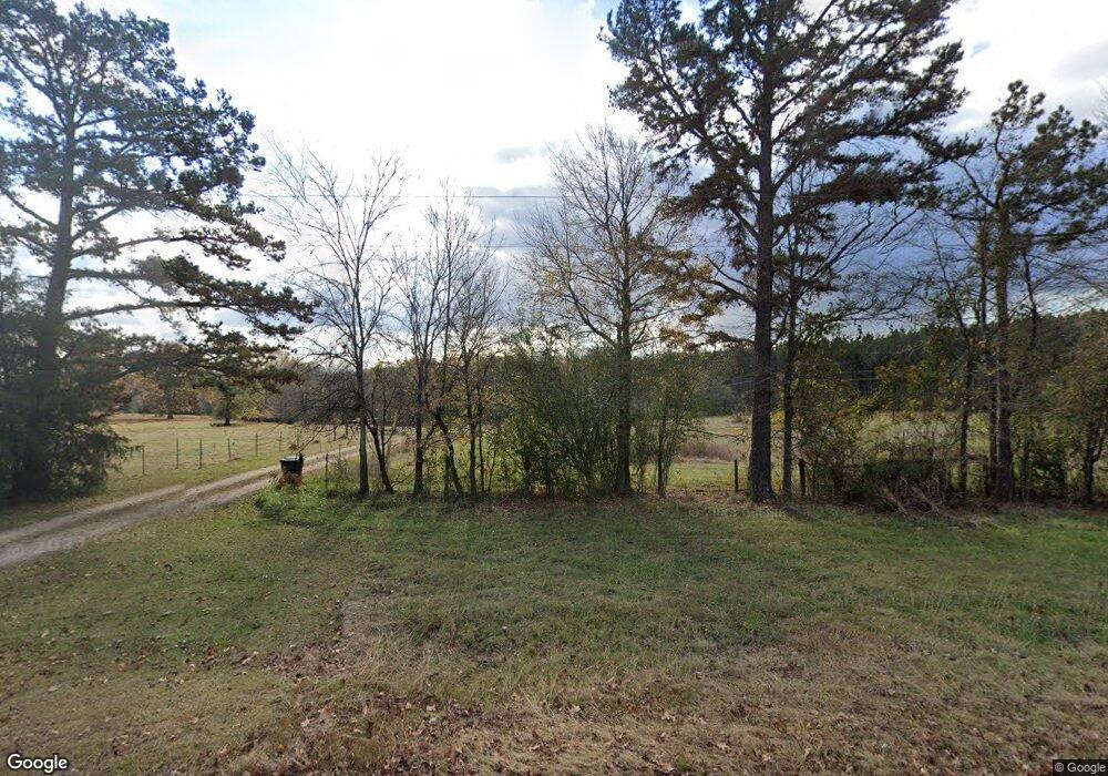
5251 Washington Hwy Union Point, GA 30669
Estimated Value: $265,000 - $423,464
--
Bed
2
Baths
2,106
Sq Ft
$171/Sq Ft
Est. Value
About This Home
This home is located at 5251 Washington Hwy, Union Point, GA 30669 and is currently estimated at $360,488, approximately $171 per square foot. 5251 Washington Hwy is a home located in Greene County with nearby schools including Greene County High School.
Ownership History
Date
Name
Owned For
Owner Type
Purchase Details
Closed on
Nov 12, 2002
Sold by
Crimm Lance C and Crimm Nicole M
Bought by
Geiger Charles Raymond
Current Estimated Value
Purchase Details
Closed on
Feb 8, 1999
Sold by
Woods Ronnie J and Woods Betty
Bought by
Crimm Lance C and Crimm Nicole M
Purchase Details
Closed on
Jun 2, 1995
Sold by
Jones Tommy J
Bought by
Woods Ronnie J and Woods Betty
Purchase Details
Closed on
Sep 1, 1989
Sold by
Jones Tommy J
Bought by
Jones Tommy J
Purchase Details
Closed on
Jan 1, 1986
Bought by
Mccain Larry W
Create a Home Valuation Report for This Property
The Home Valuation Report is an in-depth analysis detailing your home's value as well as a comparison with similar homes in the area
Home Values in the Area
Average Home Value in this Area
Purchase History
| Date | Buyer | Sale Price | Title Company |
|---|---|---|---|
| Geiger Charles Raymond | $220,000 | -- | |
| Crimm Lance C | $146,000 | -- | |
| Woods Ronnie J | $51,000 | -- | |
| Jones Tommy J | -- | -- | |
| Mccain Larry W | -- | -- | |
| Jones Tommy J | -- | -- |
Source: Public Records
Tax History Compared to Growth
Tax History
| Year | Tax Paid | Tax Assessment Tax Assessment Total Assessment is a certain percentage of the fair market value that is determined by local assessors to be the total taxable value of land and additions on the property. | Land | Improvement |
|---|---|---|---|---|
| 2025 | $1,053 | $152,080 | $60,760 | $91,320 |
| 2024 | $1,132 | $146,280 | $60,760 | $85,520 |
| 2023 | $882 | $128,840 | $46,040 | $82,800 |
| 2022 | $1,135 | $99,880 | $35,400 | $64,480 |
| 2021 | $1,197 | $94,760 | $35,400 | $59,360 |
| 2020 | $1,306 | $83,800 | $31,800 | $52,000 |
| 2019 | $1,309 | $83,800 | $31,800 | $52,000 |
| 2018 | $1,305 | $84,280 | $32,280 | $52,000 |
| 2017 | $820 | $63,600 | $32,298 | $31,302 |
| 2016 | $817 | $64,017 | $32,297 | $31,720 |
| 2015 | $791 | $64,017 | $32,298 | $31,720 |
| 2014 | $789 | $60,934 | $32,298 | $28,636 |
Source: Public Records
Map
Nearby Homes
- 5111 Greensboro Rd
- 0 Greensboro Rd Unit 22774623
- 0 Greensboro Rd Unit 10649352
- 0 Greensboro Rd Unit CL343963
- 1860 Washington Hwy
- 0 Silas Mercer Rd NE Unit 10364766
- 1201 Buffalo Lick Rd
- 0 Buffalo Lick Rd Unit 10551234
- 0 Buffalo Lick Rd Unit 10551325
- 5401 Union Point Hwy
- 0 Saggus Rd Unit 10580223
- 0 Woodland Ct Unit 10543600
- 112 Hendry St
- 202 Veazey St
- 324 N Rhodes St
- 4143 Sandy Cross Rd NE
- 215 Hunter St
- 1110 Woodland Ln
- 3090 Bethany Church Rd
- 1110 Woodland Way
- 5321 Washington Hwy
- 1190 Lyneville Rd
- 5390 Washington Hwy
- 1270 Lyneville Rd
- 0 Lyneville Unit 8934467
- 1198 Lyneville Rd
- 1360 Lyneville Rd
- 1341 Lyneville Rd
- 1191 Lyneville Rd
- 1271 Lyneville Rd
- 968 Lyneville Rd
- 1221 Steele Rd
- 1180 Steele Rd
- 4880 Washington Hwy
- 1131 Randolph Church Rd
- 4730 Washington Hwy
