52517 S Point Dr Mattawan, MI 49071
Estimated Value: $121,000 - $168,000
2
Beds
1
Bath
841
Sq Ft
$168/Sq Ft
Est. Value
About This Home
This home is located at 52517 S Point Dr, Mattawan, MI 49071 and is currently estimated at $141,239, approximately $167 per square foot. 52517 S Point Dr is a home located in Van Buren County with nearby schools including Mattawan Early Elementary School, Mattawan Later Elementary School, and Mattawan Early Childhood Education Center.
Ownership History
Date
Name
Owned For
Owner Type
Purchase Details
Closed on
Aug 21, 2009
Sold by
Riefel Elwin H
Bought by
Witt Larry C
Current Estimated Value
Home Financials for this Owner
Home Financials are based on the most recent Mortgage that was taken out on this home.
Original Mortgage
$47,130
Interest Rate
5.21%
Mortgage Type
FHA
Purchase Details
Closed on
Oct 10, 2003
Sold by
Park Linda
Bought by
Riefel Elwin H
Create a Home Valuation Report for This Property
The Home Valuation Report is an in-depth analysis detailing your home's value as well as a comparison with similar homes in the area
Home Values in the Area
Average Home Value in this Area
Purchase History
| Date | Buyer | Sale Price | Title Company |
|---|---|---|---|
| Witt Larry C | $48,000 | Chicago Title Of Michigan | |
| Riefel Elwin H | $60,000 | -- |
Source: Public Records
Mortgage History
| Date | Status | Borrower | Loan Amount |
|---|---|---|---|
| Closed | Witt Larry C | $47,130 |
Source: Public Records
Tax History Compared to Growth
Tax History
| Year | Tax Paid | Tax Assessment Tax Assessment Total Assessment is a certain percentage of the fair market value that is determined by local assessors to be the total taxable value of land and additions on the property. | Land | Improvement |
|---|---|---|---|---|
| 2025 | $1,113 | $40,700 | $0 | $0 |
| 2024 | $463 | $38,400 | $0 | $0 |
| 2023 | $441 | $37,300 | $0 | $0 |
| 2022 | $982 | $33,800 | $0 | $0 |
| 2021 | $948 | $27,200 | $10,000 | $17,200 |
| 2020 | $922 | $27,000 | $10,000 | $17,000 |
| 2019 | $810 | $25,400 | $25,400 | $0 |
| 2018 | $781 | $21,500 | $21,500 | $0 |
| 2017 | $760 | $20,300 | $0 | $0 |
| 2016 | $762 | $20,900 | $0 | $0 |
| 2015 | $552 | $20,900 | $0 | $0 |
| 2014 | $570 | $20,200 | $0 | $0 |
| 2013 | -- | $18,100 | $18,100 | $0 |
Source: Public Records
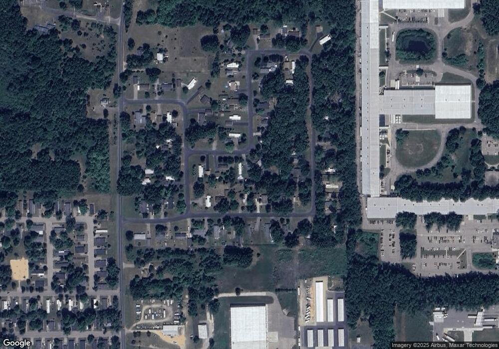
Map
Nearby Homes
- 52484 N Point Dr
- 51650 County Road 652
- 4.5 County Road 652
- 25614 Marshall Dr
- 25851 Pleasant Dr
- 24537 Brownstone Blvd
- 10599 Mystic Heights Trail
- 23753 Red Arrow Hwy
- 56550 Village Center Cir Unit 20
- 49114 Beulah Way
- 23440 W McGillen Ave Unit Entire Parcel
- 23589 Laurel Glen Ave
- 47805 Silver Oaks W
- 23901 Village Center Cir
- 23875 Village Center Cir
- 48799 Wentworth Dr
- 48692 Silver Oaks Blvd
- 48560 Silver Oaks W
- 22969 W McGillen Ave
- 25248 Front St
- 52527 S Point Dr
- 52507 S Point Dr
- 24954 E Point Dr
- 24944 E Point Dr
- 24964 E Point Dr
- 52496 S Point Dr
- 52497 S Point Dr
- 24934 E Point Dr
- 52537 S Point Dr
- 24974 E Point Dr
- 52514 N Point Dr
- 52504 N Point Dr
- 52506 S Point Dr
- 52486 S Point Dr
- 52487 S Point Dr
- 52486 S Point Dr
- 52494 N Point Dr
- 24933 E Point Dr
- 24943 E Point Dr
- 24923 E Point Dr