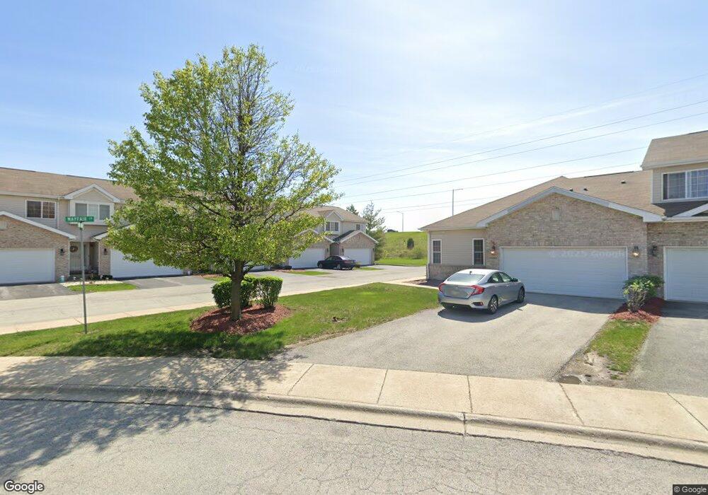
5253 Mayfair Ln Matteson, IL 60443
Old Matteson NeighborhoodEstimated Value: $237,177 - $279,000
3
Beds
2
Baths
1,254
Sq Ft
$211/Sq Ft
Est. Value
About This Home
This home is located at 5253 Mayfair Ln, Matteson, IL 60443 and is currently estimated at $264,294, approximately $210 per square foot. 5253 Mayfair Ln is a home located in Cook County with nearby schools including Colin Powell Middle School and Southland College Prep.
Ownership History
Date
Name
Owned For
Owner Type
Purchase Details
Closed on
Mar 17, 2006
Sold by
Southwick Courtyards Ii Llc
Bought by
Davis Andre I
Current Estimated Value
Home Financials for this Owner
Home Financials are based on the most recent Mortgage that was taken out on this home.
Original Mortgage
$204,218
Outstanding Balance
$114,804
Interest Rate
6.37%
Mortgage Type
FHA
Estimated Equity
$149,490
Create a Home Valuation Report for This Property
The Home Valuation Report is an in-depth analysis detailing your home's value as well as a comparison with similar homes in the area
Home Values in the Area
Average Home Value in this Area
Purchase History
| Date | Buyer | Sale Price | Title Company |
|---|---|---|---|
| Davis Andre I | $207,500 | Git |
Source: Public Records
Mortgage History
| Date | Status | Borrower | Loan Amount |
|---|---|---|---|
| Open | Davis Andre I | $204,218 |
Source: Public Records
Tax History
| Year | Tax Paid | Tax Assessment Tax Assessment Total Assessment is a certain percentage of the fair market value that is determined by local assessors to be the total taxable value of land and additions on the property. | Land | Improvement |
|---|---|---|---|---|
| 2025 | $6,087 | $18,000 | $2,295 | $15,705 |
| 2024 | $6,087 | $18,000 | $2,295 | $15,705 |
| 2023 | $5,435 | $18,000 | $2,295 | $15,705 |
| 2022 | $5,435 | $13,573 | $1,980 | $11,593 |
| 2021 | $5,535 | $13,572 | $1,980 | $11,592 |
| 2020 | $5,468 | $13,572 | $1,980 | $11,592 |
| 2019 | $4,872 | $12,346 | $1,800 | $10,546 |
| 2018 | $4,798 | $12,346 | $1,800 | $10,546 |
| 2017 | $4,696 | $12,346 | $1,800 | $10,546 |
| 2016 | $4,640 | $11,464 | $1,620 | $9,844 |
| 2015 | $4,844 | $12,155 | $1,620 | $10,535 |
| 2014 | $4,739 | $12,155 | $1,620 | $10,535 |
| 2013 | $5,062 | $13,633 | $1,620 | $12,013 |
Source: Public Records
Map
Nearby Homes
- 505 E Illinois St Unit 105
- 5226 Southwick Ct Unit 2
- 5503 Georgetown Dr
- 4862 Bay View Dr
- 763 Cambridge Ave
- 4613 Lindenwood Ct
- 858 Academy Ave
- 997 Regent Dr
- 20813 Homeland Rd
- 912 Princeton Ave
- 1010 Regent Dr
- 829 Princeton Ave
- 22140 Schaaf Ct
- 744 Academy Ave
- 5631 Colgate Ln
- 5327 Northwestern Dr
- 4700 Salem Ct
- 4459 Balmoral Dr
- 22206 Hawthorne Way
- 4443 Ascot Ct
- 5245 Mayfair Ln
- 5241 Mayfair Ln
- 5249 Mayfair Ln
- 5233 Mayfair Ln
- 21350 Knightbridge Ct
- 5250 Southwick Ct
- 21346 Knightbridge Ct
- 21338 Knightbridge Ct Unit 3
- 5248 Southwick Ct Unit 2
- 5246 Southwick Ct
- 21342 Knightbridge Ct
- 5229 Mayfair Ln
- 5244 Southwick Ct
- 5225 Mayfair Ln
- 5242 Southwick Ct Unit 2
- 5240 Southwick Ct
- 21345 Knightbridge Ct
- 5238 Southwick Ct Unit 2
- 21337 Knightbridge Ct
- 21341 Knightbridge Ct
Your Personal Tour Guide
Ask me questions while you tour the home.