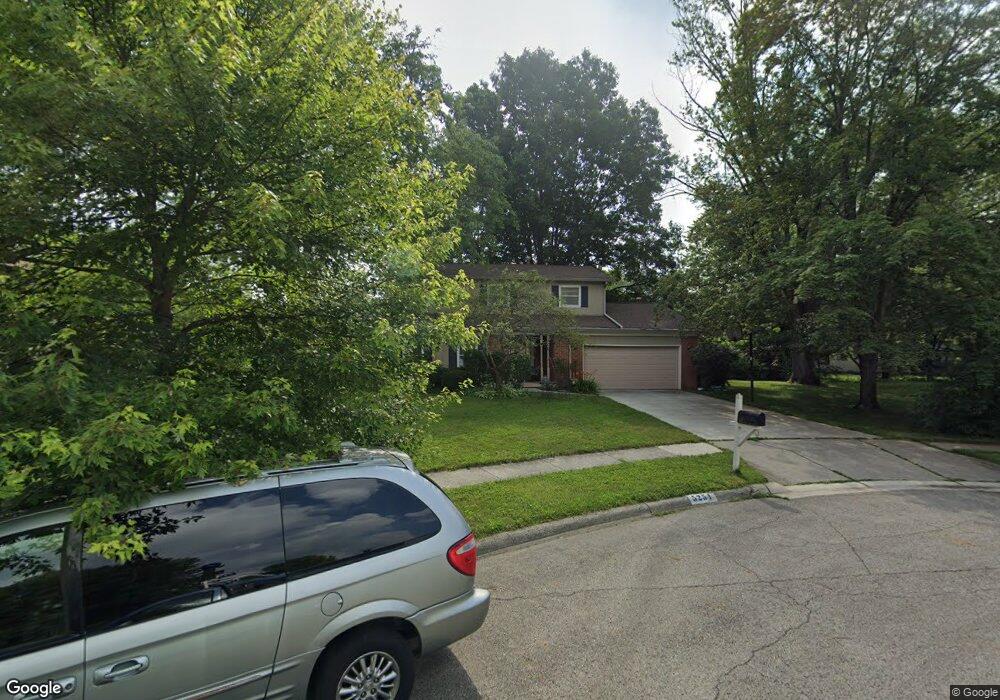
5254 Cape Cod Ln Columbus, OH 43235
The Gables NeighborhoodEstimated Value: $424,000 - $448,000
4
Beds
3
Baths
2,092
Sq Ft
$209/Sq Ft
Est. Value
About This Home
This home is located at 5254 Cape Cod Ln, Columbus, OH 43235 and is currently estimated at $438,003, approximately $209 per square foot. 5254 Cape Cod Ln is a home located in Franklin County with nearby schools including Gables Elementary School, Ridgeview Middle School, and Centennial High School.
Ownership History
Date
Name
Owned For
Owner Type
Purchase Details
Closed on
Dec 30, 2004
Sold by
Lowder James R and Lowder Janice L
Bought by
Fallara Carl Timothy and Fallara Pamela S
Current Estimated Value
Home Financials for this Owner
Home Financials are based on the most recent Mortgage that was taken out on this home.
Original Mortgage
$177,600
Interest Rate
5.78%
Mortgage Type
Purchase Money Mortgage
Purchase Details
Closed on
Nov 1, 1985
Bought by
Lowder James R
Create a Home Valuation Report for This Property
The Home Valuation Report is an in-depth analysis detailing your home's value as well as a comparison with similar homes in the area
Home Values in the Area
Average Home Value in this Area
Purchase History
| Date | Buyer | Sale Price | Title Company |
|---|---|---|---|
| Fallara Carl Timothy | $222,000 | Landsel Title Agency Inc | |
| Lowder James R | $91,000 | -- |
Source: Public Records
Mortgage History
| Date | Status | Borrower | Loan Amount |
|---|---|---|---|
| Closed | Fallara Carl Timothy | $177,600 |
Source: Public Records
Tax History
| Year | Tax Paid | Tax Assessment Tax Assessment Total Assessment is a certain percentage of the fair market value that is determined by local assessors to be the total taxable value of land and additions on the property. | Land | Improvement |
|---|---|---|---|---|
| 2025 | $5,736 | $127,820 | $51,450 | $76,370 |
| 2024 | $5,736 | $127,820 | $51,450 | $76,370 |
| 2023 | $5,663 | $127,820 | $51,450 | $76,370 |
| 2022 | $5,114 | $98,600 | $32,480 | $66,120 |
| 2021 | $5,123 | $98,600 | $32,480 | $66,120 |
| 2020 | $5,130 | $98,600 | $32,480 | $66,120 |
| 2019 | $4,686 | $77,250 | $25,970 | $51,280 |
| 2018 | $4,569 | $77,250 | $25,970 | $51,280 |
| 2017 | $4,683 | $77,250 | $25,970 | $51,280 |
| 2016 | $4,916 | $74,210 | $18,940 | $55,270 |
| 2015 | $4,463 | $74,210 | $18,940 | $55,270 |
| 2014 | $4,473 | $74,210 | $18,940 | $55,270 |
| 2013 | $2,101 | $70,665 | $18,025 | $52,640 |
Source: Public Records
Map
Nearby Homes
- 1138 Slade Ave
- 1221 Bethel Rd
- 5118 Dalmeny Ct Unit 5118
- 5520 Ellinger St
- 913 White Willow Ln Unit 913
- 1566 Lorraine Ave
- 962 Augusta Glen Dr
- 5315 Portland St Unit 201
- 5285 Portland St Unit 204
- 4944 Buck Thorn Ln
- 5275 Portland St Unit 202
- 1558 Denbigh Dr
- 1683 Saint Albans Ct Unit 22-83
- 1466 Weybridge Rd
- 5354 Shannon Ln Unit 71
- 5348 Shannon Ln Unit 68
- 4818 Winterset Dr Unit 820
- 4710 Charecote Ln Unit D
- 5108 Ranstead Ct
- 788 Katherines Ridge Ln
- 5266 Cape Cod Ln
- 5248 Cape Cod Ln
- 5235 Heathmoor St
- 5261 Heathmoor St
- 5227 Heathmoor St
- 5219 Heathmoor St
- 5280 Cape Cod Ln
- 5267 Cape Cod Ln
- 5249 Cape Cod Ln
- 5255 Cape Cod Ln
- 1224 Slade Ave
- 1201 Nantucket Ave
- 1237 Nantucket Ave
- 1236 Slade Ave
- 1187 Cloverknoll Ct
- 5254 Heathmoor St
- 1194 Slade Ave
- 1248 Slade Ave
- 1251 Nantucket Ave
- 5266 Heathmoor St
Your Personal Tour Guide
Ask me questions while you tour the home.