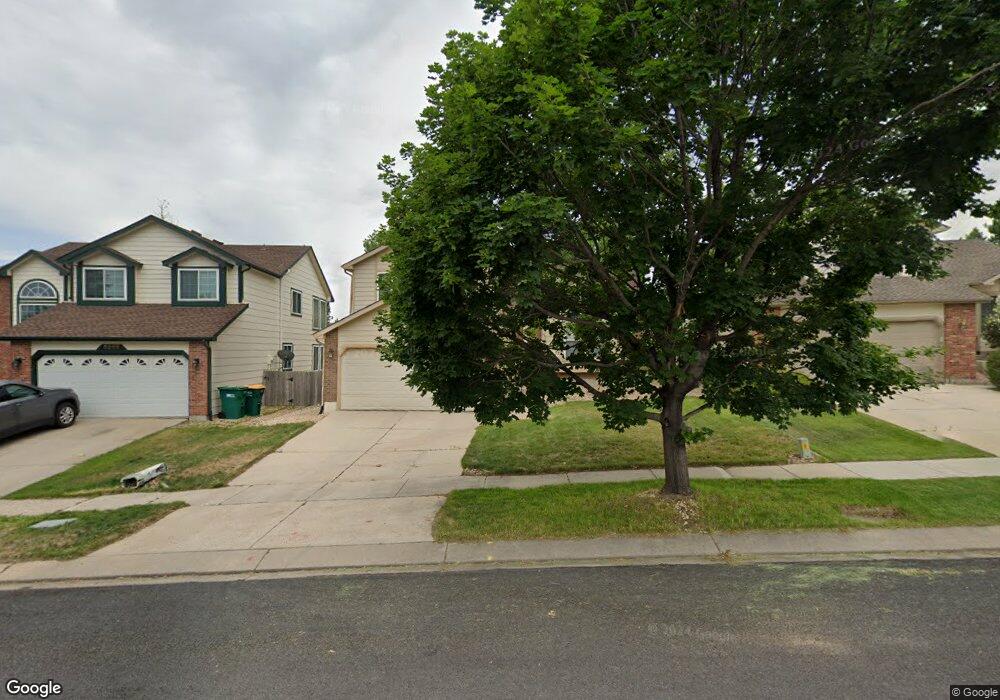
5255 Plumstead Dr Colorado Springs, CO 80920
Briargate NeighborhoodEstimated Value: $445,088 - $471,000
3
Beds
2
Baths
1,592
Sq Ft
$289/Sq Ft
Est. Value
About This Home
This home is located at 5255 Plumstead Dr, Colorado Springs, CO 80920 and is currently estimated at $459,522, approximately $288 per square foot. 5255 Plumstead Dr is a home located in El Paso County with nearby schools including Prairie Hills Elementary School, Timberview Middle School, and Liberty High School.
Ownership History
Date
Name
Owned For
Owner Type
Purchase Details
Closed on
Nov 11, 1994
Sold by
Campbell Corp
Bought by
Pease Paul
Current Estimated Value
Home Financials for this Owner
Home Financials are based on the most recent Mortgage that was taken out on this home.
Original Mortgage
$132,800
Interest Rate
8.5%
Mortgage Type
VA
Purchase Details
Closed on
Aug 2, 1994
Sold by
Briargate Joint Venture
Bought by
Campbell Corp
Home Financials for this Owner
Home Financials are based on the most recent Mortgage that was taken out on this home.
Original Mortgage
$104,200
Interest Rate
7.75%
Create a Home Valuation Report for This Property
The Home Valuation Report is an in-depth analysis detailing your home's value as well as a comparison with similar homes in the area
Home Values in the Area
Average Home Value in this Area
Purchase History
| Date | Buyer | Sale Price | Title Company |
|---|---|---|---|
| Pease Paul | $130,249 | -- | |
| Campbell Corp | -- | -- |
Source: Public Records
Mortgage History
| Date | Status | Borrower | Loan Amount |
|---|---|---|---|
| Closed | Pease Paul | $132,800 | |
| Previous Owner | Campbell Corp | $104,200 |
Source: Public Records
Tax History Compared to Growth
Tax History
| Year | Tax Paid | Tax Assessment Tax Assessment Total Assessment is a certain percentage of the fair market value that is determined by local assessors to be the total taxable value of land and additions on the property. | Land | Improvement |
|---|---|---|---|---|
| 2025 | $1,709 | $32,390 | -- | -- |
| 2024 | $1,660 | $30,470 | $5,360 | $25,110 |
| 2023 | $1,660 | $30,470 | $5,360 | $25,110 |
| 2022 | $1,560 | $22,110 | $4,340 | $17,770 |
| 2021 | $1,725 | $22,740 | $4,460 | $18,280 |
| 2020 | $1,554 | $19,090 | $3,720 | $15,370 |
| 2019 | $1,538 | $19,090 | $3,720 | $15,370 |
| 2018 | $1,211 | $14,780 | $2,880 | $11,900 |
| 2017 | $1,206 | $14,780 | $2,880 | $11,900 |
| 2016 | $1,214 | $14,860 | $2,930 | $11,930 |
| 2015 | $1,212 | $14,860 | $2,930 | $11,930 |
| 2014 | $1,155 | $14,150 | $2,930 | $11,220 |
Source: Public Records
Map
Nearby Homes
- 5305 Plumstead Dr
- 5050 Plumstead Dr
- 5026 Plumstead Dr
- 7820 Swiftrun Rd
- 8313 Scarborough Dr
- 7543 Potomac Dr
- 8405 Andrus Dr
- 8361 Dolly Madison Dr
- 7985 Interlaken Dr
- 7775 Manston Dr
- 7691 Scarborough Dr
- 8352 James Creek Dr
- 8387 Snow Cap View
- 8030 Chancellor Dr
- 5408 Cushing Grove
- 5414 Cushing Grove
- 5426 Cushing Grove
- 5062 Baseline View
- 8688 Eckberg Heights
- 8728 Eckberg Heights
- 5265 Plumstead Dr
- 5245 Plumstead Dr
- 5235 Plumstead Dr
- 8013 French Rd
- 8040 Lorton Dr
- 8017 French Rd
- 8009 French Rd
- 8030 Lorton Dr
- 8021 French Rd
- 8020 Lorton Dr
- 5250 Plumstead Dr
- 5260 Plumstead Dr
- 8023 Ferncliff Dr
- 8019 Ferncliff Dr
- 5240 Plumstead Dr
- 8010 Lorton Dr
- 5270 Plumstead Dr
- 8011 Ferncliff Dr
- 8103 Ferncliff Dr
- 5280 Plumstead Dr