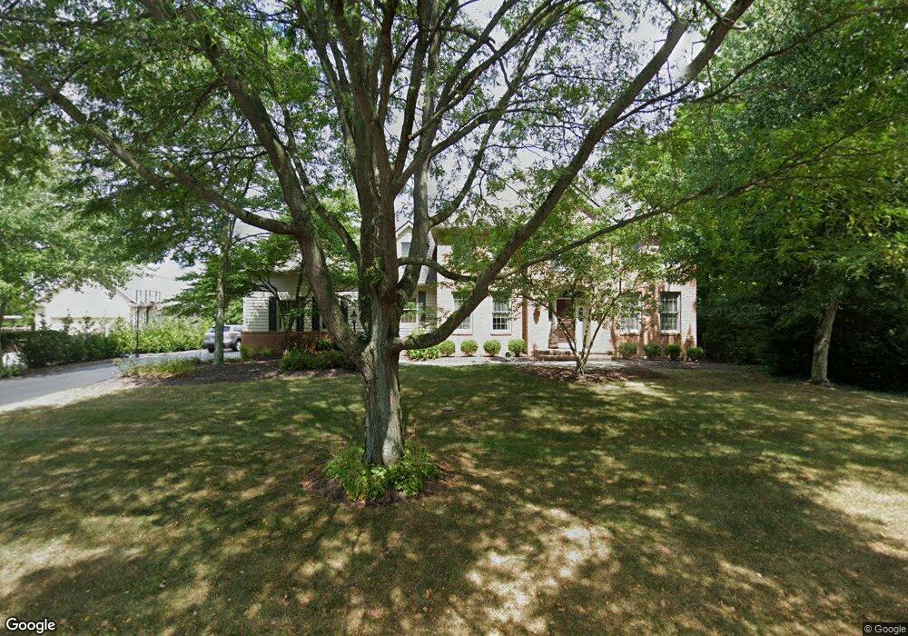
5256 Sheffield Ave Powell, OH 43065
Estimated Value: $821,575 - $863,000
About This Home
This home is located at 5256 Sheffield Ave, Powell, OH 43065 and is currently estimated at $844,644, approximately $271 per square foot. 5256 Sheffield Ave is a home located in Delaware County with nearby schools including Scioto Ridge Elementary School, Olentangy Liberty Middle School, and Olentangy Liberty High School.
Ownership History
We collect this data history from publicly available records. To have your information removed, we recommend requesting removal directly through your county’s website.
Purchase Details
Home Financials for this Owner
Home Financials are based on the most recent Mortgage that was taken out on this home.Home Values in the Area
Average Home Value in this Area
Purchase History
We collect this data history from publicly available records. To have your information removed, we recommend requesting removal directly through your county’s website.
| Date | Buyer | Sale Price | Title Company |
|---|---|---|---|
| $427,000 | Crown Title |
Mortgage History
We collect this data history from publicly available records. To have your information removed, we recommend requesting removal directly through your county’s website.
| Date | Status | Borrower | Loan Amount |
|---|---|---|---|
| Closed | $301,000 |
Tax History
We collect this data history from publicly available records. To have your information removed, we recommend requesting removal directly through your county’s website.
| Year | Tax Paid | Tax Assessment Tax Assessment Total Assessment is a certain percentage of the fair market value that is determined by local assessors to be the total taxable value of land and additions on the property. | Land | Improvement |
|---|---|---|---|---|
| 2025 | $13,062 | $235,280 | $63,530 | $171,750 |
| 2024 | $12,464 | $235,280 | $63,530 | $171,750 |
| 2023 | $12,512 | $235,280 | $63,530 | $171,750 |
| 2022 | $10,804 | $160,800 | $48,130 | $112,670 |
| 2021 | $10,869 | $160,800 | $48,130 | $112,670 |
| 2020 | $10,921 | $160,800 | $48,130 | $112,670 |
| 2019 | $10,002 | $155,440 | $48,130 | $107,310 |
| 2018 | $10,183 | $155,440 | $48,130 | $107,310 |
| 2017 | $9,527 | $146,450 | $44,350 | $102,100 |
| 2016 | $10,076 | $146,450 | $44,350 | $102,100 |
| 2015 | $9,112 | $146,450 | $44,350 | $102,100 |
| 2014 | $9,238 | $146,450 | $44,350 | $102,100 |
| 2013 | $9,259 | $143,470 | $44,350 | $99,120 |
Map
- 10748 Preston Way
- 10562 Riverside Dr
- 10669 Riverside Dr
- 8347 Amberleigh Way
- 8226 Timber Mist Ct
- 4862 Vista Ridge Dr
- 8015 Riverside Dr
- 5049 Glenaire Dr
- 4506 N Hampton Dr
- 5137 Chaffinch Ct
- 7843 Windy Hill Ct
- 4241 Summit View Rd
- 10252 Braeburn Ct
- 8573 Crail Ct
- 4409 Wyandotte Woods Blvd
- 4933 Emerald Lakes Blvd Unit 4903
- 9945 Juliana Cir Unit 9945
- 8119 Glencree Place
- 5421 Reserve Dr
- 5732 Dunnwood Ct
- 5272 Sheffield Ave
- 5281 Sheffield Ave
- 5234 Sheffield Ave
- 5253 Sheffield Ave
- 5314 Sheffield Ave
- 53653 Sheffield Ave
- 5345 Stockton Ct
- 5245 Woodbridge Ave
- 5263 Woodbridge Ave
- 5307 Sheffield Ave
- 5225 Sheffield Ave
- 5221 Woodbridge Ave
- 5212 Sheffield Ave
- 5353 Stockton Ct
- 5338 Sheffield Ave
- 5279 Woodbridge Ave
- 5258 Brighton Place
- 5338 Stockton Ct
- 5199 Woodbridge Ave
- 5325 Sheffield Ave
Ask me questions while you tour the home.