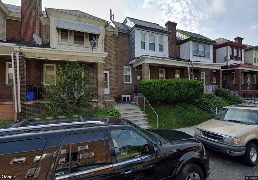
5257 N Franklin St Philadelphia, PA 19120
Olney NeighborhoodEstimated Value: $169,000 - $193,000
3
Beds
1
Bath
1,400
Sq Ft
$131/Sq Ft
Est. Value
About This Home
This home is located at 5257 N Franklin St, Philadelphia, PA 19120 and is currently estimated at $183,973, approximately $131 per square foot. 5257 N Franklin St is a home located in Philadelphia County with nearby schools including Thurgood Marshall School, Birney Preparatory Academy, and Olney Charter High School.
Ownership History
Date
Name
Owned For
Owner Type
Purchase Details
Closed on
Aug 8, 2025
Sold by
Love Michael
Bought by
Smith Darrell E
Current Estimated Value
Home Financials for this Owner
Home Financials are based on the most recent Mortgage that was taken out on this home.
Original Mortgage
$85,000
Outstanding Balance
$75,764
Interest Rate
6.67%
Mortgage Type
Construction
Estimated Equity
$108,209
Create a Home Valuation Report for This Property
The Home Valuation Report is an in-depth analysis detailing your home's value as well as a comparison with similar homes in the area
Home Values in the Area
Average Home Value in this Area
Purchase History
| Date | Buyer | Sale Price | Title Company |
|---|---|---|---|
| Smith Darrell E | $90,000 | Associates Land Transfer |
Source: Public Records
Mortgage History
| Date | Status | Borrower | Loan Amount |
|---|---|---|---|
| Open | Smith Darrell E | $85,000 |
Source: Public Records
Tax History Compared to Growth
Tax History
| Year | Tax Paid | Tax Assessment Tax Assessment Total Assessment is a certain percentage of the fair market value that is determined by local assessors to be the total taxable value of land and additions on the property. | Land | Improvement |
|---|---|---|---|---|
| 2025 | $1,753 | $160,300 | $32,060 | $128,240 |
| 2024 | $1,753 | $160,300 | $32,060 | $128,240 |
| 2023 | $1,753 | $125,200 | $25,040 | $100,160 |
| 2022 | $657 | $80,200 | $25,040 | $55,160 |
| 2021 | $1,286 | $0 | $0 | $0 |
| 2020 | $1,286 | $0 | $0 | $0 |
| 2019 | $1,195 | $0 | $0 | $0 |
| 2018 | $1,221 | $0 | $0 | $0 |
| 2017 | $1,221 | $0 | $0 | $0 |
| 2016 | $1,221 | $0 | $0 | $0 |
| 2015 | $1,168 | $0 | $0 | $0 |
| 2014 | -- | $87,200 | $6,030 | $81,170 |
| 2012 | -- | $9,344 | $1,127 | $8,217 |
Source: Public Records
Map
Nearby Homes
- 5237 N Franklin St
- 740 W Fisher Ave
- 0 W Fisher Ave
- 5221 N 8th St
- 811 W Fisher Ave
- 5212 N 8th St
- 909-913 R W Fisher Ave
- 520 W Duncannon Ave
- 5253 N 10th St
- 5134 N Fairhill St
- 914 W Duncannon Ave
- 5149 N Fairhill St
- 819 Lindley Ave
- 5245 N 5th St
- 5112 N Fairhill St
- 5129 N 10th St
- 5233 N Warnock St
- 5111 N Fairhill St
- 5249 N Warnock St
- 0 Lindley Ave
- 5259 N Franklin St
- 5259 N Franklin St Unit B
- 5255 N Franklin St
- 5261 N Franklin St
- 5253 N Franklin St
- 5263 N Franklin St
- 5251 N Franklin St
- 5249 N Franklin St
- 714 W Fisher Ave
- 5247 N Franklin St
- 716 W Fisher Ave
- 715 W Wellens Ave
- 718 W Fisher Ave
- 5245 N Franklin St
- 717 W Wellens Ave
- 720 W Fisher Ave
- 719 W Wellens Ave
- 5243 N Franklin St
- 722 W Fisher Ave
- 721 W Wellens Ave