5258 Martin Rd West Salem, OH 44287
Estimated Value: $295,000 - $816,028
3
Beds
2
Baths
1,834
Sq Ft
$303/Sq Ft
Est. Value
About This Home
This home is located at 5258 Martin Rd, West Salem, OH 44287 and is currently estimated at $555,514, approximately $302 per square foot. 5258 Martin Rd is a home located in Wayne County with nearby schools including Northwestern Elementary School, Northwestern Middle School, and Northwestern High School.
Ownership History
Date
Name
Owned For
Owner Type
Purchase Details
Closed on
Jun 21, 2018
Sold by
Wyckoff Winston L
Bought by
Wyckoff Away Farms Llc
Current Estimated Value
Purchase Details
Closed on
Aug 3, 2016
Sold by
Wyckoff Winston L
Bought by
Wyckoff Winston L
Purchase Details
Closed on
Sep 25, 2007
Sold by
Wyckoff Marilyn J
Bought by
Wyckoff Marilyn J and Winston L Wycoff Jr Family Trust
Create a Home Valuation Report for This Property
The Home Valuation Report is an in-depth analysis detailing your home's value as well as a comparison with similar homes in the area
Home Values in the Area
Average Home Value in this Area
Purchase History
| Date | Buyer | Sale Price | Title Company |
|---|---|---|---|
| Wyckoff Away Farms Llc | -- | None Available | |
| Wyckoff Winston L | -- | None Available | |
| Wyckoff Marilyn J | -- | Attorney |
Source: Public Records
Tax History Compared to Growth
Tax History
| Year | Tax Paid | Tax Assessment Tax Assessment Total Assessment is a certain percentage of the fair market value that is determined by local assessors to be the total taxable value of land and additions on the property. | Land | Improvement |
|---|---|---|---|---|
| 2024 | $2,602 | $227,080 | $206,860 | $20,220 |
| 2023 | $2,602 | $227,080 | $206,860 | $20,220 |
| 2022 | $1,783 | $227,080 | $206,860 | $20,220 |
| 2021 | $1,787 | $227,080 | $206,860 | $20,220 |
| 2020 | $1,808 | $227,080 | $206,860 | $20,220 |
| 2019 | $2,368 | $208,100 | $192,830 | $15,270 |
| 2018 | $2,323 | $208,100 | $192,830 | $15,270 |
| 2017 | $2,661 | $209,420 | $192,830 | $16,590 |
| 2016 | $3,010 | $139,260 | $122,550 | $16,710 |
| 2015 | $2,963 | $139,260 | $122,550 | $16,710 |
| 2014 | $3,006 | $139,260 | $122,550 | $16,710 |
| 2013 | $1,787 | $83,250 | $67,210 | $16,040 |
Source: Public Records
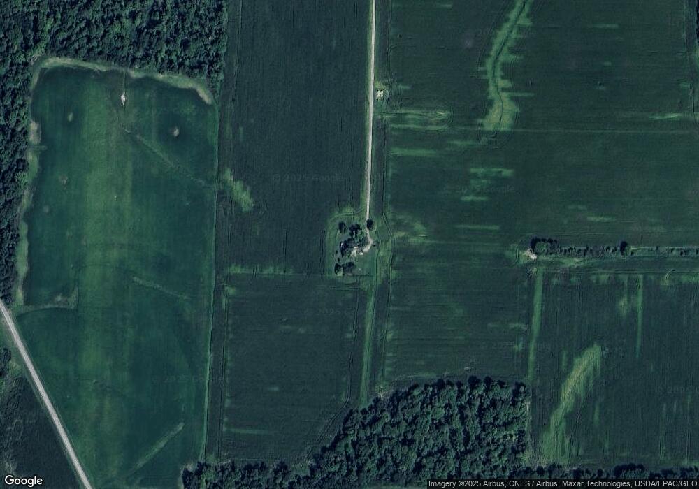
Map
Nearby Homes
- V/L #9 Rice Hill Rd
- V/L #8 Rice Hill Rd
- V/L #10 Rice Hill Rd
- V/L #13 Rice Hill Rd
- V/L #7 Rice Hill Rd
- V/L #6 Rice Hill Rd
- V/L #2 Rice Hill Rd
- V/L #4 Rice Hill Rd
- V/L #5 Rice Hill Rd
- V/L #11 Rice Hill Rd
- V/L #1 Rice Hill Rd
- V/L #3 Rice Hill Rd
- 6929 Bates Rd
- 5167 Overton Rd
- 4156 Fieldridge Ct
- 11282 Stratton Rd
- 10575 Burbank Rd
- 3303 W Smithville Western Rd
- 3351 W Easton Rd
- 888 Flag Stone Ave
- 7789 Cedar Valley Rd
- 0 Lot 3 Martin Rd Unit 3224032
- 8208 Rice Hill Rd
- 5171 Martin Rd
- 8119 Cedar Valley Rd
- 4975 Martin Rd
- 7832 Rice Hill Rd
- 7646 Cedar Valley Rd
- 8328 Rice Hill Rd
- 4847 Martin Rd
- 8267 Rice Hill Rd
- 8277 Rice Hill Rd
- 8481 Cedar Valley Rd
- 8565 Cedar Valley Rd
- 8565 Cedar Valley Rd
- 7550 Rice Hill Rd
- 7550 Rice Hill Rd
- 5905 Martin Rd
- 0 Rice Hill Rd