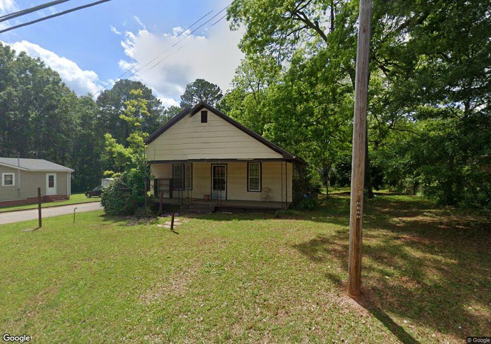
526 Baltimore Rd Washington, GA 30673
Estimated Value: $72,000 - $97,000
2
Beds
1
Bath
983
Sq Ft
$82/Sq Ft
Est. Value
About This Home
This home is located at 526 Baltimore Rd, Washington, GA 30673 and is currently estimated at $80,438, approximately $81 per square foot. 526 Baltimore Rd is a home located in Wilkes County with nearby schools including Washington-Wilkes Elementary School, Washington-Wilkes Primary School, and Washington-Wilkes Middle School.
Ownership History
Date
Name
Owned For
Owner Type
Purchase Details
Closed on
Apr 3, 2009
Sold by
Crawford Robert Lee
Bought by
Crawford Robert D
Current Estimated Value
Purchase Details
Closed on
Apr 29, 2005
Sold by
Gibson Mamie West
Bought by
Crawford Robert Lee
Purchase Details
Closed on
Apr 25, 2005
Sold by
Gunter Donald Scott
Bought by
Lance Jennifer B
Purchase Details
Closed on
Feb 12, 1998
Sold by
Gresham Willie G Est
Bought by
Gibson Mamie West
Purchase Details
Closed on
Jan 1, 1901
Bought by
Gresham Willie G Est
Create a Home Valuation Report for This Property
The Home Valuation Report is an in-depth analysis detailing your home's value as well as a comparison with similar homes in the area
Home Values in the Area
Average Home Value in this Area
Purchase History
| Date | Buyer | Sale Price | Title Company |
|---|---|---|---|
| Crawford Robert D | -- | -- | |
| Crawford Robert Lee | $4,500 | -- | |
| Lance Jennifer B | $60,000 | -- | |
| Gibson Mamie West | -- | -- | |
| Gresham Willie G Est | -- | -- |
Source: Public Records
Tax History
| Year | Tax Paid | Tax Assessment Tax Assessment Total Assessment is a certain percentage of the fair market value that is determined by local assessors to be the total taxable value of land and additions on the property. | Land | Improvement |
|---|---|---|---|---|
| 2025 | $446 | $12,114 | $1,723 | $10,391 |
| 2024 | $453 | $12,114 | $1,723 | $10,391 |
| 2023 | $452 | $12,114 | $1,723 | $10,391 |
| 2022 | $452 | $12,114 | $1,723 | $10,391 |
| 2021 | $467 | $12,114 | $1,723 | $10,391 |
| 2020 | $471 | $12,114 | $1,723 | $10,391 |
| 2019 | $473 | $12,114 | $1,723 | $10,391 |
| 2018 | $464 | $12,114 | $1,723 | $10,391 |
| 2017 | $464 | $12,114 | $1,723 | $10,391 |
| 2016 | $464 | $12,114 | $1,723 | $10,391 |
| 2015 | -- | $1,723 | $1,723 | $10,391 |
| 2014 | -- | $12,114 | $1,723 | $10,391 |
| 2013 | -- | $12,114 | $1,722 | $10,391 |
Source: Public Records
Map
Nearby Homes
- 401 Baltimore Rd
- 122 Rutledge St
- 913 Spring St
- 102 Arden Dr
- 205 Elm St
- 509 S Alexander Ave
- 513 S Jefferson St
- 606 Spring St
- 414 Spring St
- 316 S Jefferson St
- 206 S Alexander Ave
- 309 E Robert Toombs Ave
- 815 Hillcrest Dr
- 101 Constitution Cir Unit A
- 101 Constitution Cir Unit C
- 101 Constitution Cir Unit B
- 106 Constitution Cir
- 104 Constitution Circle Dr
- 223 E Robert Toombs Ave
- 801 Cloverhurst Dr
- 507 Baltimore Rd
- 507 Baltimore Rd
- 524 Baltimore Rd
- 520 Baltimore Rd
- 423 Salenist St
- 525 Baltimore Rd
- 518 Baltimore Rd
- 421 Salenist St
- 105 Bull St
- 430 Salenist St
- 102 Bull St
- 644 Baltimore Rd
- 515 Baltimore Rd
- 527 Baltimore Rd
- 426 Salenist St
- 104 Bull St
- 411 Salenist St
- 604 Benson St
- 424 Salenist St
- 518 Benson St
Your Personal Tour Guide
Ask me questions while you tour the home.