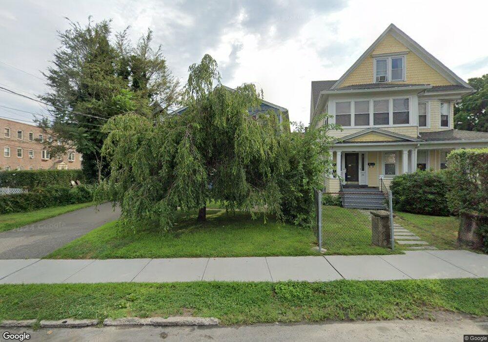
526 Brewster St Bridgeport, CT 06605
Black Rock NeighborhoodEstimated Value: $467,000 - $576,000
4
Beds
2
Baths
2,314
Sq Ft
$232/Sq Ft
Est. Value
About This Home
This home is located at 526 Brewster St, Bridgeport, CT 06605 and is currently estimated at $537,135, approximately $232 per square foot. 526 Brewster St is a home located in Fairfield County with nearby schools including Black Rock School, Bassick High School, and Park City Prep Charter School.
Ownership History
Date
Name
Owned For
Owner Type
Purchase Details
Closed on
Feb 3, 2015
Sold by
Wells Fargo Bank Na
Bought by
Lomecki Tomasz and Lomecka Magdalena
Current Estimated Value
Purchase Details
Closed on
Dec 18, 2014
Sold by
Marroquin Maria
Bought by
Wells Fargo Bank Na
Purchase Details
Closed on
Dec 7, 2005
Sold by
Caciopoli Robert
Bought by
Marroquin Ricardo and Marroquin Maria
Home Financials for this Owner
Home Financials are based on the most recent Mortgage that was taken out on this home.
Original Mortgage
$285,600
Interest Rate
6.17%
Create a Home Valuation Report for This Property
The Home Valuation Report is an in-depth analysis detailing your home's value as well as a comparison with similar homes in the area
Home Values in the Area
Average Home Value in this Area
Purchase History
| Date | Buyer | Sale Price | Title Company |
|---|---|---|---|
| Lomecki Tomasz | $157,500 | -- | |
| Lomecki Tomasz | $157,500 | -- | |
| Wells Fargo Bank Na | -- | -- | |
| Wells Fargo Bank Na | -- | -- | |
| Marroquin Ricardo | $357,000 | -- | |
| Marroquin Ricardo | $357,000 | -- |
Source: Public Records
Mortgage History
| Date | Status | Borrower | Loan Amount |
|---|---|---|---|
| Open | Marroquin Ricardo | $100,000 | |
| Previous Owner | Marroquin Ricardo | $285,600 |
Source: Public Records
Tax History Compared to Growth
Tax History
| Year | Tax Paid | Tax Assessment Tax Assessment Total Assessment is a certain percentage of the fair market value that is determined by local assessors to be the total taxable value of land and additions on the property. | Land | Improvement |
|---|---|---|---|---|
| 2025 | $10,301 | $237,085 | $136,015 | $101,070 |
| 2024 | $10,301 | $237,085 | $136,015 | $101,070 |
| 2023 | $10,301 | $237,085 | $136,015 | $101,070 |
| 2022 | $10,301 | $237,085 | $136,015 | $101,070 |
| 2021 | $10,301 | $237,085 | $136,015 | $101,070 |
| 2020 | $10,214 | $189,190 | $111,550 | $77,640 |
| 2019 | $10,214 | $189,190 | $111,550 | $77,640 |
| 2018 | $10,286 | $189,190 | $111,550 | $77,640 |
| 2017 | $10,286 | $189,190 | $111,550 | $77,640 |
| 2016 | $10,286 | $189,190 | $111,550 | $77,640 |
| 2015 | $8,654 | $205,060 | $97,680 | $107,380 |
| 2014 | $8,654 | $205,060 | $97,680 | $107,380 |
Source: Public Records
Map
Nearby Homes
- 26 Rowsley St Unit 3
- 20 Haddon St Unit 5
- 37 Rowsley St Unit 6
- 554 Brewster St Unit 4
- 51 Princeton St
- 39 Jetland Place Unit 41
- 166 Alfred St
- 75 Homestead Ave Unit 77
- 317 Brewster St
- 165 Bennett St
- 855 Brewster St Unit 857
- 105 Fox St Unit 107
- 167 Scofield Ave
- 450 Davidson St
- 82 Waldorf Ave
- 25 Whittier St
- 135 Whittier St
- 31 Whittier St
- 130 Brentwood Ave
- 118 Berwick Ave
- 498 Brewster St Unit 3
- 496 Brewster St Unit 498
- 496 Brewster St Unit 1
- 496 Brewster St Unit 3
- 532 Brewster St
- 32 Brittin Ave
- 32-34 Brittin Ave
- 13 Nash Ln Unit 3
- 13 Nash Ln Unit 6
- 13 Nash Ln Unit 2
- 13 Nash Ln
- 13 Nash Ln Unit 5
- 27 Nash Ln Unit 4
- 27 Nash Ln Unit 1
- 27 Nash Ln Unit 5
- 27 Nash Ln Unit 2
- 27 Nash Ln
- 27 Nash Ln Unit 3
- 39 Brittin Ave
- 44 Nash Ln